

Midday Nowcast: Generally Sunny and Mild
An intensifying upper air ridge over the Gulf of Mexico and a surface low off the Southeast Coast are bringing us some splendid spring-like weather this week. It was another cold start to the day, but we are seeing a nice warm up again with the dry air mass in place.
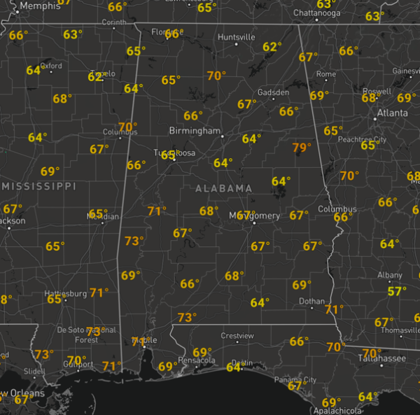
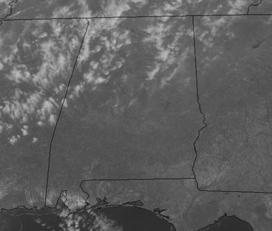
Highs this afternoon are surging into the 70s area wide with mid 70s tomorrow, and highs closer to 80° Thursday and Friday. We will see more clouds the rest of the week as moisture levels increase in the upper-levels of the atmosphere, but the rest of the work week looks dry. This is certainly looking like the best week of weather so far this year, and unusually quiet for March, which is typically the wettest month of the year for much of Alabama. Also we note, in the afternoon, lots of smoke will fill the air at times, as numerous prescribed burns and wildfires are burning across the Alabama landscape due to the dry conditions and low relative humidity.
THE ALABAMA WEEKEND: The mainly dry pattern continues into the weekend, but moisture levels will be on the rise as more clouds roll into the state. Saturday will be a partly sunny, warm day with a highs again around the 80 degree mark. Sunday looks dry, but clouds will likely increase, and we will bring in a chance of rain and thunderstorms Sunday night and into Monday across Alabama. This same storm system will bring the potential for severe storms during the day Sunday for states like Arkansas, Louisiana, and the eastern part of Texas and Oklahoma.
SPRING FORWARD: We go back on Daylight Saving Time this weekend…we lose an hour of sleep as the clocks will be moved forward one hour Saturday night. Sunset time Sunday evening at Birmingham will be 6:54pm CDT. Also, it is a great time to check those smoke detectors and weatherradios are working and have fresh batteries in them.
BEACH FORECAST CENTER: Get the latest weather and rip current forecasts for the beaches from Fort Morgan to Panama City on our Beach Forecast Center page. There, you can select the forecast of the region that you are interested in visiting.
WORLD TEMPERATURE EXTREMES: Over the last 24 hours, the highest observation outside the U.S. was 108.5F at Navrongo, Ghana. The lowest observation was -80.5F at Vostok, Antarctica.
CONTIGUOUS TEMPERATURE EXTREMES: Over the last 24 hours, the highest observation was 87F at Phoenix, AZ. The lowest observation was -5F at Masardis, ME.
WEATHER ON THIS DATE IN 1960: A winter storm produced a narrow band of heavy snow from north central Kentucky into Virginia and the mountains of North Carolina. Snowfall amounts ranged from 12 to 24 inches, with drifts up to eleven feet high in western Virginia.
Category: Alabama's Weather, ALL POSTS
About the Author (Author Profile)
Macon, Georgia Television Chief Meteorologist, Birmingham native, and long time Contributor on AlabamaWX. Stormchaser. I did not choose Weather, it chose Me. College Football Fanatic. @Ryan_StinnetSubscribe
If you enjoyed this article, subscribe to receive more just like it.


