Midday Nowcast: Sunny and Nice
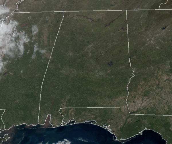
Hard to beat the weather today and tomorrow across Alabama with high pressure firmly in control of our weather; cool nights, and warm, pleasant afternoon with tons of sunshine. Temperatures this afternoon are in the mid-70s and tomorrow they will be in the upper 70s to lower 80s across the state. Tonight will be a clear and chilly with lows in the upper 40s to lower 50s.
RAIN/STORMS RETURN: The weather begins to change Wednesday as moisture levels begin to rise and clouds begin to increase. Wednesday should be rain free for the state, but a band of rain and thunderstorms will push into the state late Wednesday night ahead of a slow moving cold front.
The SPC has defined a “marginal risk” (level 1/5) for parts of West Alabama, generally west of a line from Athens to Linden to Chatom. The storms storms will be weakening as they enter West Alabama Wednesday night/Thursday morning, but they could still produce strong winds and some hail. A low chance of a brief, isolated tornado.
Storms will end early Thursday morning as a dry slot moves into the state, and a decent part of the day Thursday looks dry with some sun possible and a high in the upper 70s across the northern half of the state, while storms shift down into South Alabama. Thursday night, another round of rain and storms are expected to move into the state, again, they could be fairly heavy with strong winds and some hail possible. Then, during the day Friday, the best chance of showers and storms will shift down into South Alabama. Friday’s high will be in the mid 70s.
BEACH FORECAST CENTER: Get the latest weather and rip current forecasts for the beaches from Fort Morgan to Panama City on our Beach Forecast Center page. There, you can select the forecast of the region that you are interested in visiting.
WORLD TEMPERATURE EXTREMES: Over the last 24 hours, the highest observation outside the U.S. was 113.7F at Matam, Senegal. The lowest observation was -80.3F at Amundsen-Scott South Pole Station, Antarctica.
CONTIGUOUS TEMPERATURE EXTREMES: Over the last 24 hours, the highest observation was 103F at Ocotillo Wells, CA. The lowest observation was 5 Estcourt Station, ME.
WEATHER ON THIS DATE IN 1989: Unseasonably hot weather prevailed in the southwestern U.S. Afternoon highs of 100 degrees at Santa Maria CA and 105 degrees in Downtown Los Angeles established records for the month of April.
Category: Alabama's Weather, ALL POSTS
About the Author (Author Profile)
Macon, Georgia Television Chief Meteorologist, Birmingham native, and long time Contributor on AlabamaWX. Stormchaser. I did not choose Weather, it chose Me. College Football Fanatic. @Ryan_StinnetSubscribe
If you enjoyed this article, subscribe to receive more just like it.


