Midday Nowcast: Hottest Week of the Year So Far
The upper-ridge remains in control of our weather, and continues to hold in place across the Deep South much of the week, causing afternoon highs to climb into the low and mid-90s for many locations, which will be close to records for this time of year.
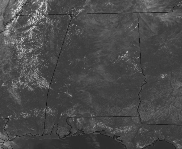
We are seeing more sun than clouds, and we are looking for heat relief in the form of showers and storms, but with sinking air due to ridge and limited moisture levels, these will not materialize over Alabama. With the air being relatively dry, though days are very hot, nights will be fair and comfortable with lows in the 60s.
CODE ORANGE OZONE ALERT: The Alabama Department of Environmental Management, ADEM, has issued an Air Quality Alert for Jefferson and Shelby Counties for today. Under Code Orange conditions, ground level ozone concentrations are expected to reach levels that are unhealthy for sensitive groups. Children and people with asthma are individuals most at risk under these expected conditions.
RAIN CHANCES RETURN FOR WEEKEND: The ridge will begin to weaken over the second half of the workweek, allowing a surface boundary to move into the northern parts of Alabama on Friday. There will be more clouds in the Alabama sky, and these clouds should yield some scattered afternoon showers and storms for locations along and north of the I-20 corridor n Friday. This boundary will slowly sink south through the state allowing for isolated to scattered afternoon showers and storms statewide Saturday, Sunday and Monday. Temperatures will be a tad cooler with highs closer to the 90° mark during the afternoons.
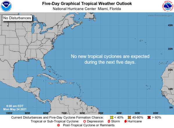
IN THE TROPICS: We had our first named system of the year over the weekend as Ana formed, but as of late Sunday night, Ana had become post-tropical and is not longer a tropical system. Across the rest of the Atlantic Basin, tropical cyclone development is not expected the next five days.
BEACH FORECAST CENTER: Get the latest weather and rip current forecasts for the beaches from Fort Morgan to Panama City on our Beach Forecast Center page. There, you can select the forecast of the region that you are interested in visiting.
WORLD TEMPERATURE EXTREMES: Over the last 24 hours, the highest observation outside the U.S. was 116.8F at Abu Dhabi International Airport, United Arab Emirates. The lowest observation was -101.0F at Vostok, Antarctica.
CONTIGUOUS TEMPERATURE EXTREMES: Over the last 24 hours, the highest observation was 103F at Rio Grande Village, TX. The lowest observation was 11F near Flagstaff, AZ.
WEATHER ON THIS DATE IN 1894: Six inches of snow blanketed Kentucky. Just four days earlier as much as ten inches of snow had fallen across Kentucky, Tennessee and Virginia. Six days earlier a violent storm had wrecked nine ships on Lake Michigan.
Category: Alabama's Weather, ALL POSTS
About the Author (Author Profile)
Macon, Georgia Television Chief Meteorologist, Birmingham native, and long time Contributor on AlabamaWX. Stormchaser. I did not choose Weather, it chose Me. College Football Fanatic. @Ryan_StinnetSubscribe
If you enjoyed this article, subscribe to receive more just like it.


