Weather Xtreme: More Showers & Storms Possible This Afternoon with Plenty of Heat
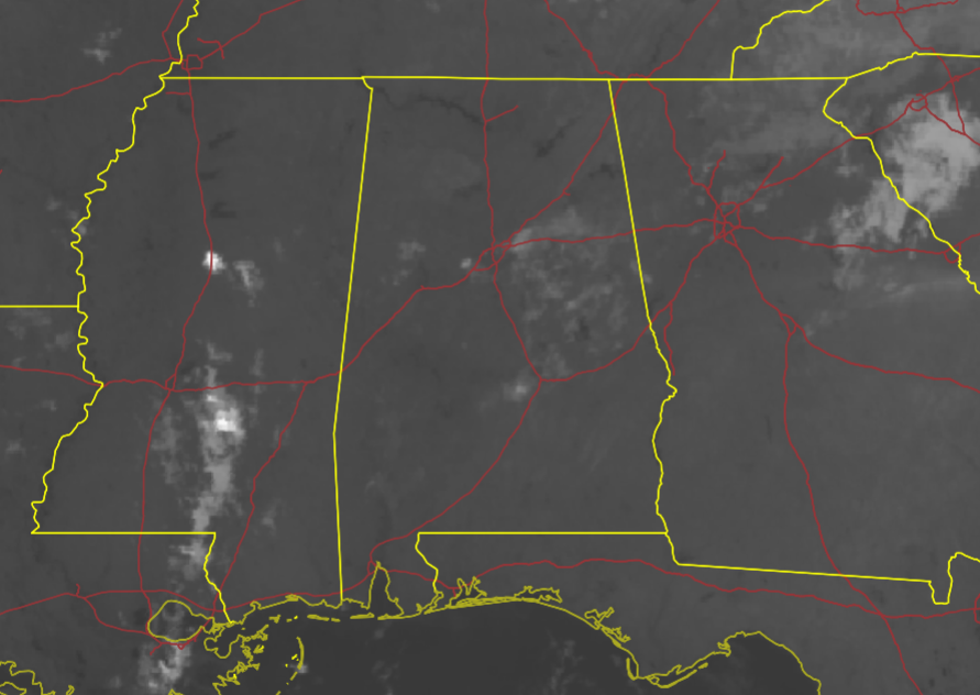
THIS MORNING: We are starting off this morning with mainly clear skies across Central Alabama, but down at the surface, we do have some areas of fog that is limiting visibility somewhat, but not bad enough for any advisories to be issued.
Temperatures across the area as of the 5 am roundup were in the lower to mid 70s. Birmingham, Calera, and Tuscaloosa were all tied as the warm spots at 76 degrees. Gadsden, Haleyville, and Talladega were all tied as the cool spots at 72 degrees.
TODAY: It’s definitely getting close to the dog days of summer as we’re going to see hot and hazy conditions with the standard shot of scattered showers and storms during the main heating of the day (late morning through the early evening). Sunday will be no different as skies will be partly to mostly sunny with a near 50% chance of mainly afternoon showers and storms. Afternoon highs will be in the upper 80s to the mid 90s across the area.
THE WORK WEEK AHEAD: Monday and Tuesday look to be the wettest days of the week, but not everyone will get rain on those days. Monday will feature partly sunny skies with a 50% chance of showers and storms mainly during the afternoon to early evening hours. Tuesday’s rain chances will be higher, as scattered to numerous showers and storms will be likely during the main heating of the day.
Rain chances start to dwindle back down to around 40% on Wednesday, as skies will be mostly sunny. An isolated shower or two will be possible on Thursday and again on Friday, as skies will be mostly sunny on both days.
Highs throughout the week will range from the upper 80s to the mid 90s across Central Alabama on each day. Heat index values will exceed 100 degrees in some spots, so please be careful if having to work or spend time outdoors.
NEXT WEEKEND: Rain chances look to pick back up a little for next weekend, as scattered showers and thunderstorms will be possible during the afternoons. Saturday’s chances will be around 30-40%, while increasing to around 50% for Sunday. Low to mid 90s can still be expected for highs, but a few locations may cross over into the upper 90s, especially on Saturday.
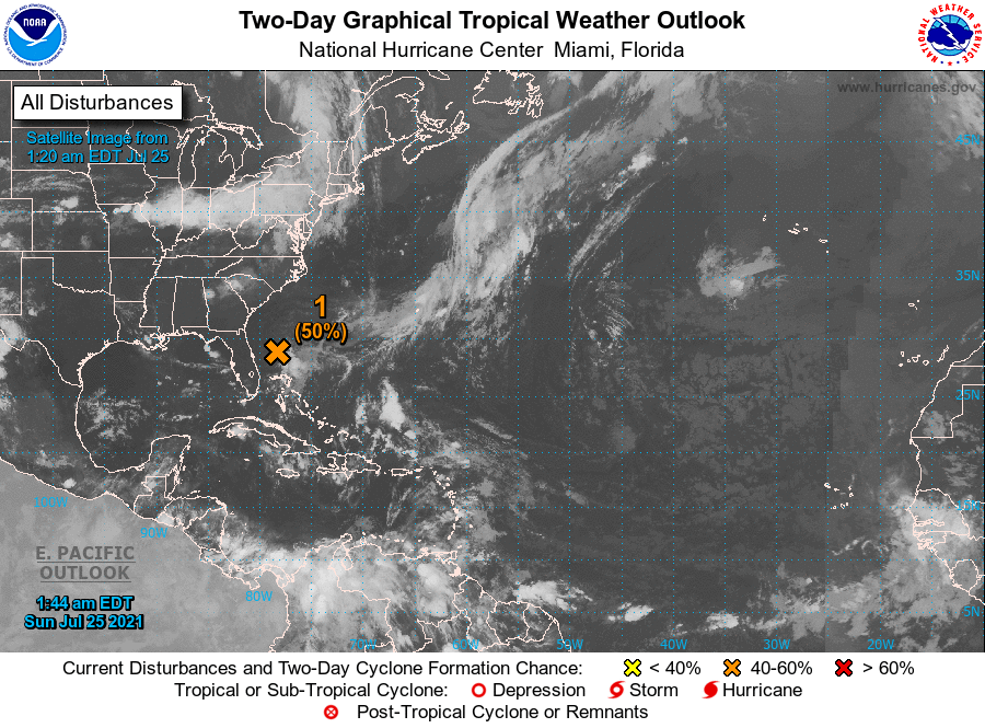
THE TROPICS: As of 1 am CDT this morning, Invest 90L was located about 160 miles east of Daytona Beach, Florida, continues to produce disorganized shower and thunderstorm activity mainly east through south of the center. Environmental conditions are expected to remain marginally conducive for additional development, and a tropical depression could still form later today or early Monday while the low moves generally westward at 5 to 10 mph toward the east coast of Florida. An Air Force Reserve reconnaissance aircraft is scheduled to investigate the low this afternoon, if necessary. Interests in Florida should continue to monitor the progress of this system.
Category: Alabama's Weather, ALL POSTS, Tropical, Weather Xtreme Videos
About the Author (Author Profile)
Scott Martin is an operational meteorologist, professional graphic artist, musician, husband, and father. Not only is Scott a member of the National Weather Association, but he is also the Central Alabama Chapter of the NWA president. Scott is also the co-founder of Racecast Weather, which provides forecasts for many racing series across the USA. He also supplies forecasts for the BassMaster Elite Series events including the BassMaster Classic.Subscribe
If you enjoyed this article, subscribe to receive more just like it.


