A Few Notes on PTC6 Before Advisory Time
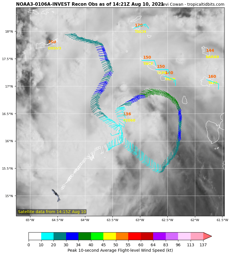
NOAA Hurricane Hunters are finding a good bit of tropical storm force winds on the north side of Potential Tropical Cyclone 6, but has it found enough of a center for it to be named a tropical storm? We will find out in the next few minutes.
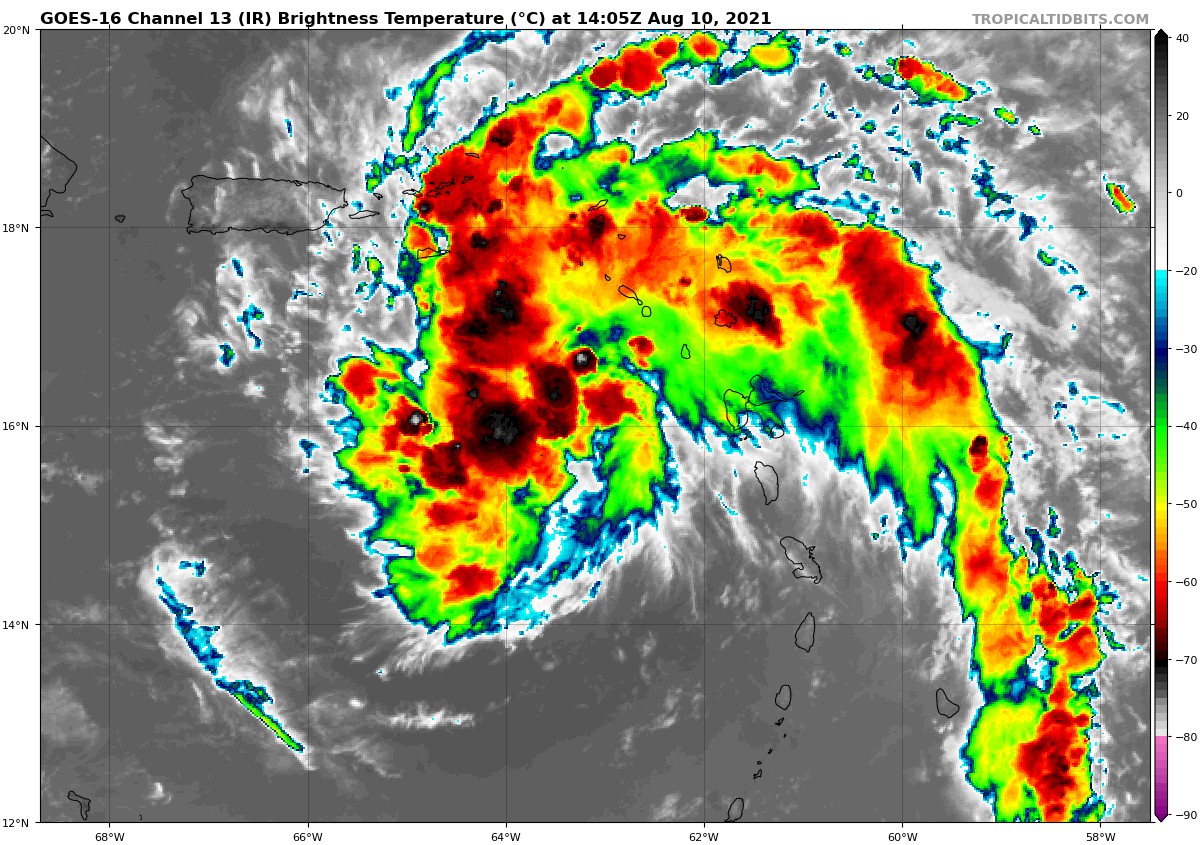
Convection continues to increase and the system seems to be enveloped in enough moist air to fight off the influence of dry air ahead of it. Wind shear is relatively low, which would favor strengthening, and there is plenty of warm water to help it intensify. The only real obstacles to intensification will be the islands of the Greater Antilles. The core of the storm may stay south of Puerto Rico, but it is forecast to move directly over the island of Hispaniola, which will severely weaken the system. The official track takes it just off the north coast of Cuba before emerging it into Florida Straits Friday night and across the keys and into the Gulf of Mexico early Saturday.
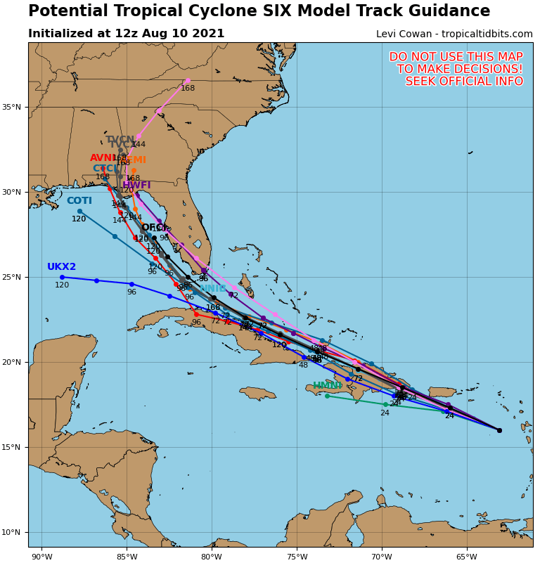
Most of the global and hurricane models forecast another landfall in the Florida Panhandle early next week. Most of the intensity models hold it as a strong tropical storm or Category One hurricane but that could change with more time over the waters of the Gulf. We will just have to wait and see.
We will have the advisory in a few minutes.
Category: Alabama's Weather, ALL POSTS, Tropical
About the Author (Author Profile)
Bill Murray is the President of The Weather Factory. He is the site's official weather historian and a weekend forecaster. He also anchors the site's severe weather coverage. Bill Murray is the proud holder of National Weather Association Digital Seal #0001 @wxhistorianSubscribe
If you enjoyed this article, subscribe to receive more just like it.


