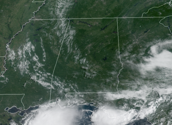
Midday Nowcast: Mainly Sunny and Hot
HOT, HOT, HOT: A strong upper ridge is in place across the Deep South to start the work week, and it is causing our weather to trend hotter and drier. Today and tomorrow, the forecast features mainly sunny and hot weather with highs in the low to upper 90s across the state.
Heat index values will be over 100°, and may approach the 105° Heat Advisory criteria at times. Also, afternoon/evening showers and storms will remain rather isolated as rain chances are generally less than 10%.
SECOND HALF OF WEEK: On Wednesday, the ridge starts to weaken, and an easterly wave will move into the northeastern Gulf of Mexico, which will bring back a chance of scattered showers and storms back into the forecast during the afternoon to early evening hours. Highs will be in the low to mid 90s. There will be not much change for Thursday and Friday as there will be a good bit of sun to start each day with scattered showers and storms forming during the peak heating of the day. Highs will be in the low 90s on both days.
IN THE TROPICS: Henri continues to dissipate over New England…There are no other active systems in the Atlantic, but two areas the NHC is monitoring. The next two names are Ida and Julian.
1. A broad low pressure system is producing disorganized showers and thunderstorms over the eastern tropical Atlantic more than 700 miles west of the Cabo Verde Islands. Little development is expected during the next couple of days due to only marginally conducive ocean temperatures. Thereafter, however, some gradual development is possible by the middle to latter part of the week while the system moves northwestward at 10 to 15 mph over the central Atlantic. Formation chance through 5 days…low…30 percent.
2. A tropical wave located over the eastern Caribbean Sea is expected to form a broad area of low pressure over the southwestern Caribbean Sea by late week. Thereafter, environmental conditions are forecast to become favorable for gradual development while the system moves west-northwestward over the northwestern Caribbean Sea. Formation chance through 5 days…low…30 percent.
BEACH FORECAST CENTER: Get the latest weather and rip current forecasts for the beaches from Fort Morgan to Panama City on our Beach Forecast Center page. There, you can select the forecast of the region that you are interested in visiting.
WORLD TEMPERATURE EXTREMES: Over the last 24 hours, the highest observation outside the U.S. was 118.9F at Mitribah, Kuwait. The lowest observation was -96.0F at Concordia, Antarctica.
CONTIGUOUS TEMPERATURE EXTREMES: Over the last 24 hours, the highest observation was 110F at Stovepipe Wells, CA. The lowest observation was 25F at Bodie, CA.
WEATHER ON THIS DATE IN 1970: Dry thunderstorms ignited more than one hundred fires in the Wenatchee and Okanogan National Forests of Washington State. Hot, dry, and windy weather spread the fires, a few of which burned out of control through the end of the month. More than 100,000 acres burned.
Category: Alabama's Weather, ALL POSTS


