Midday Nowcast: Mainly Sunny and Warming Up
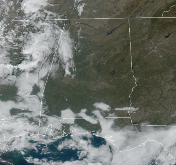
It was another chilly start to the day, but with a mainly sunny sky, temperatures are heading into the mid an upper 60s this afternoon. Tonight, the sky will be clear and most spots will see lows around 40°.
REST OF WEEK: With the upper-ridge in place, we stay dry and temperatures will continue a warming trend. Expect a sunny sky tomorrow with highs close to 70°. Moisture levels will begin to rise Thursday and Friday, so expect more clouds at times, but we will remain dry. Highs Thursday and Friday will be in the low to mid 70s, which are 15-20 degree above average for this time of year.
WEEKEND WEATHER: The ridge weakens allowing a cold front to move into the state. The sky will be mostly cloudy Saturday and Sunday, and showers are likely statewide both days. Not a total wash-out, but be ready for occasional showers, especially on Saturday. Some thunder is possible, but severe storms are not expected. The high Saturday will be in the mid to upper 60s. The front stalls across the state, north of the front Sunday will be cool, with temps in the 50s, south of the front, 60s are more likely.
Sunday night a wave of low pressure rides along the front, setting the stage for widespread rain Sunday night into at least the first half of the day Monday. The weather stays cool Monday with a high in the 50s, and again, no severe weather is expected.
BEACH FORECAST CENTER: Get the latest weather and rip current forecasts for the beaches from Fort Morgan to Panama City on our Beach Forecast Center page. There, you can select the forecast of the region that you are interested in visiting.
WORLD TEMPERATURE EXTREMES: Over the last 24 hours, the highest observation outside the U.S. was 111.9F at Marble Bar, Australia. The lowest observation was -63.9F at Kerbo, Russia.
CONTIGUOUS TEMPERATURE EXTREMES: Over the last 24 hours, the highest observation was 87F at Key West NAS, FL. The lowest observation was -1F at Grand Lake, CO.
WEATHER ON THIS DATE IN 2006: The Hanukkah Eve Wind Storm of 2006 caused storm to hurricane-force wind gusts and heavy rainfall hit the Pacific Northwest and southern British Columbia. Damage estimates in Washington and Oregon totaled $220 million. Over 1.8 million residences and businesses without power. 18 people were killed, most of whom died of carbon monoxide poisoning in the days following the storm because of improper use of barbecue cookers and generators indoors.
Category: Alabama's Weather, ALL POSTS
About the Author (Author Profile)
Macon, Georgia Television Chief Meteorologist, Birmingham native, and long time Contributor on AlabamaWX. Stormchaser. I did not choose Weather, it chose Me. College Football Fanatic. @Ryan_StinnetSubscribe
If you enjoyed this article, subscribe to receive more just like it.


