Midday Nowcast: Increasing Clouds and Chilly Temps
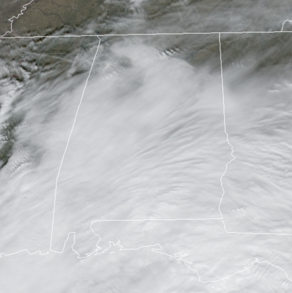
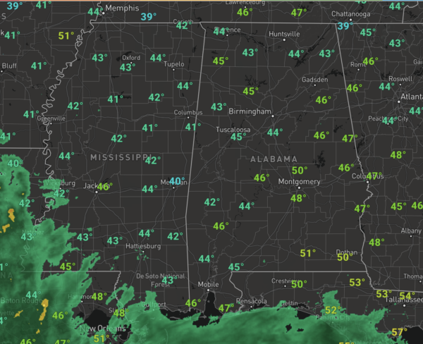
Despite the increasing clouds today we will remain dry across the area, but it is chilly with temps in the 40s at midday, and highs today will be in the low to mid 50s. A surface low is organizing to our southwest and will track along the Gulf Coast tonight and tomorrow. Showers to our southwest will spread northward across the state tonight and through the first half of our Tuesday, but the more widespread rain will be over southern portions of the state.
The rain should begin to taper off tomorrow afternoon with the sky staying cloudy and temperatures in the low 50s. By the way, winter officially begins at 9:58AM tomorrow.
WEDNESDAY/THURSDAY: Ridging will begin to build in over the Southeast and will bring us blue sky and plenty of sunshine on Wednesday. Highs Wednesday will be in the upper 50s, and we’ll see highs in the low 60s.
CHRISTMAS EVE & CHRISTMAS DAY: The warming trend continues for the Holiday weekend…Highs both days will be in the upper 60s to low 70s across the state, which are 10-20 degrees above average. There will be a few clouds in the sky, and the models have continued to show the possibility of a stray shower Christmas Day but for now, the forecast looks mainly dry. This Christmas will be much warmer than last year; Christmas 2020 was sunny and cold with a morning low of 24°. while the afternoon high was 38°, and wind chills were below freezing.
BEACH FORECAST CENTER: Get the latest weather and rip current forecasts for the beaches from Fort Morgan to Panama City on our Beach Forecast Center page. There, you can select the forecast of the region that you are interested in visiting.
WORLD TEMPERATURE EXTREMES: Over the last 24 hours, the highest observation outside the U.S. was 114.6F at Jervois, Australia. The lowest observation was -67.7F at Kerbo, Russia.
CONTIGUOUS TEMPERATURE EXTREMES: Over the last 24 hours, the highest observation was 90F at Vero Beach, FL. The lowest observation was -12F at Grand Lake, CO.
WEATHER ON THIS DATE IN 1836: A famous cold wave occurred in central Illinois. A cold front with 70 mph winds swept through at Noon dropping the temperature from 40 degrees to near zero in a matter of minutes. Many settlers froze to death. Folklore told of chickens frozen in their tracks and men frozen to saddles. Ice in streams reportedly froze to six inches in a few hours.
Category: Alabama's Weather, ALL POSTS
About the Author (Author Profile)
Macon, Georgia Television Chief Meteorologist, Birmingham native, and long time Contributor on AlabamaWX. Stormchaser. I did not choose Weather, it chose Me. College Football Fanatic. @Ryan_StinnetSubscribe
If you enjoyed this article, subscribe to receive more just like it.


