Midday Nowcast: Sunny and Colder
After the wet and stormy Sunday, the weather is much quieter today, but still it remains breezy. It is a clear and sunny day, and rather chilly with highs struggling to climb out of the 40s for most locations.
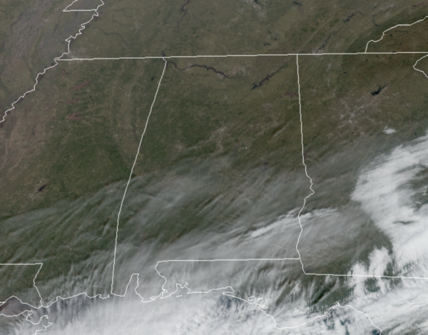
Tonight will be clear and cold with lows generally in the mid to upper 20s for most of North/Central Alabama.
USA BRIEF: It’s going to be a very cold start to the week across the Northern tier of the U.S., as a plethora of wind chill products are in effect from the Upper Midwest to New England. Meanwhile, heavy lake effect snow is also likely downwind of the Great Lakes early this week. Finally, a cold front will produce scattered showers and thunderstorms across Florida on Monday.
QUIET WEEK OF WEATHER: Dry weather will continue through Friday with mostly sunny days and fair nights. Highs through the week will be mostly in the 50s, with lows in the 30s, right at seasonal averages for mid-January.
THE ALABAMA WEEKEND: Some scattered showers return to the forecast for Saturday as a shortwave trough and front work across Alabama. There won’t be much moisture for the system to work with, so rain amounts will be light (generally under 1/2 inch); highs Saturday will be in the 50s. Colder and drier returns Sunday with a partly sunny sky; highs Sunday will be in the 40s.
NEXT WEEK: Monday and Tuesday look cool and dry; global models hint at some chance of rain around Wednesday. Temperatures look to remain in the 50s most days.
?BEACH FORECAST CENTER: Get the latest weather and rip current forecasts for the beaches from Fort Morgan to Panama City on our Beach Forecast Center page. There, you can select the forecast of the region that you are interested in visiting.
WORLD TEMPERATURE EXTREMES: Over the last 24 hours, the highest observation outside the U.S. was 112.1F at Birdsville Airport, Australia. The lowest observation was -63.0F at Rabbit Kettle Reporting Station, Canada.
CONTIGUOUS TEMPERATURE EXTREMES: Over the last 24 hours, the highest observation was 86F at Brownsville, TX. The lowest observation was -34F at Badoura, MN.
WEATHER ON THIS DATE IN 1800: Savannah, GA, received a foot and a half of snow, and ten inches blanketed Charleston SC. It was the heaviest snowfall of record for the immediate Coastal Plain of the southeastern U.S.
Category: Alabama's Weather, ALL POSTS
About the Author (Author Profile)
Macon, Georgia Television Chief Meteorologist, Birmingham native, and long time Contributor on AlabamaWX. Stormchaser. I did not choose Weather, it chose Me. College Football Fanatic. @Ryan_StinnetSubscribe
If you enjoyed this article, subscribe to receive more just like it.


