Midday Nowcast: Increasing Clouds Today
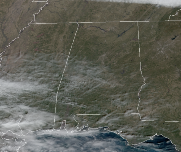
A crystal clear sky to start the day, but as we head through the rest of the day we are going to start to see a few more clouds building in from the southwest. Temperatures this afternoon are in the mid to upper 50s. Clouds will increase tonight as a wave of low pressure tracks across the northern Gulf of Mexico and that feature will spread light rain back across the southern half of the state tonight and for the first half of Tuesday. Most of North/Central Alabama will be dry despite a cloud cover. Lows tonight will be in the upper 30s. Tomorrow will be cooler as cooler air is pulled down on the back side of the departing low, highs tomorrow will be in the low 50s.
REST OF THE WEEK: Wednesday starts off with mid 20s, and the day will be sunny and colder with a high in the mid 40s. Dry weather continues Thursday with highs in the mid 50s. Clouds move into the state Thursday night and Friday ahead of a cold front and upper trough. Model data has shown these will be moisture starved, with just clouds and no rain. However, late this morning, the GFS is suggesting there could be some rain return late Friday so we will have to watch it carefully as it could change the forecast. Temperatures will likely hold in the 40s all day Friday.
THE ALABAMA WEEKEND: More cold air for the weekend…Saturday morning looks to feature teens and lower 20s again, with highs in the low to mid 40s, despite sunshine in full supply. Sunday will be a mostly sunny day with a high in the lower 50s, after start the day in the mid 20s.
NEXT WEEK: Monday and Tuesday will be dry, and we could see a chance of rain Wednesday, followed by dry weather Thursday and Friday. For now, no signs of any big ticket weather items for Alabama the next 10-14 days even though temperatures will be below average. Not seeing any snow or ice issues for Alabama, or any severe weather threat.
BEACH FORECAST CENTER: Get the latest weather and rip current forecasts for the beaches from Fort Morgan to Panama City on our Beach Forecast Center page. There, you can select the forecast of the region that you are interested in visiting.
WORLD TEMPERATURE EXTREMES: Over the last 24 hours, the highest observation outside the U.S. was 114.6F at Robertson, South Africa. The lowest observation was -65.2F at Delyankir, Russia.
CONTIGUOUS TEMPERATURE EXTREMES: Over the last 24 hours, the highest observation was 79F at Mecca, CA. The lowest observation was -33F at Philadelphia, NY.
WEATHER ON THIS DATE IN 1982: Chinook winds plagued the foothills of southeastern Wyoming and northern and central Colorado for the second straight Sunday. The winds gusted to 140 mph at Wondervu CO, located northeast of Denver. Chinook winds a week earlier produced wind gusts to 137 mph.
Category: Alabama's Weather, ALL POSTS
About the Author (Author Profile)
Macon, Georgia Television Chief Meteorologist, Birmingham native, and long time Contributor on AlabamaWX. Stormchaser. I did not choose Weather, it chose Me. College Football Fanatic. @Ryan_StinnetSubscribe
If you enjoyed this article, subscribe to receive more just like it.


