Midday Nowcast: Colder with Gradual Clearing
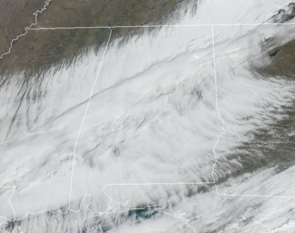
The morning clouds will be giving way to sunshine this afternoon as drier air settles into the state. Late this morning, the clearing line is working into Northwest Alabama. It is a much colder afternoon with temperatures holding in the 40s in many locations this afternoon. Tonight will be clear and cold; temperatures will drop into the upper 20s by daybreak tomorrow.
DRY, SUNNY WEEKEND: Both days will feature plenty of sunshine and a warming trend…After the freezing morning temperatures, expect highs in the upper 50s, followed by low 60s Sunday.
WET NEXT WEEK: Monday will feature temperatures in the 60s again, but a warm front will lift north from the Gulf of Mexico bringing rain and warmer weather back to Alabama. Tuesday through Thursday will feature unseasonably warm temperatures with widespread 70s across North/Central Alabama, and possibly 80s across South Alabama. Each day will feature the chance of showers with perhaps a rumble of thunder or two. Not going to rain all the time, but each day you’ll want to take the rain gear with you. Late in the week, a cold front will bring the chance of stronger storms into the state Thursday night, but it is too early to know if this will be a severe weather setup, but tis the season.
Soaking rains are expected over the week, with some model guidance showing totals of 3-6 inches for much of North/Central Alabama, with even some higher amounts. If this occurs, we could have some flooding issues next week, especially along the Rivers and Waterways.
BEACH FORECAST CENTER: Get the latest weather and rip current forecasts for the beaches from Fort Morgan to Panama City on our Beach Forecast Center page. There, you can select the forecast of the region that you are interested in visiting.
WORLD TEMPERATURE EXTREMES: Over the last 24 hours, the highest observation outside the U.S. was 111.0F at Mandora, Australia. The lowest observation was -62.1F at Delyankir, Russia.
CONTIGUOUS TEMPERATURE EXTREMES: Over the last 24 hours, the highest observation was 90F at Falcon Lake, TX. The lowest observation was -38F at Seagull Lake, NM.
WEATHER ON THIS DATE IN 1959: Some of the higher elevations of California were in the midst of a five day storm which produced 189 inches of snow, a single storm record for North America.
Category: Alabama's Weather, ALL POSTS
About the Author (Author Profile)
Macon, Georgia Television Chief Meteorologist, Birmingham native, and long time Contributor on AlabamaWX. Stormchaser. I did not choose Weather, it chose Me. College Football Fanatic. @Ryan_StinnetSubscribe
If you enjoyed this article, subscribe to receive more just like it.


