Midday Nowcast: Plenty of Sunshine and Warmer
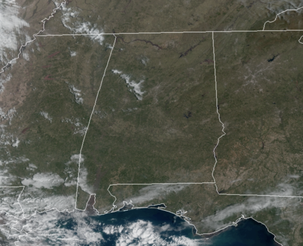
Tons of sunshine today is allowing our temperatures to rebound nicely as we roll into the afternoon hours, with low to mid 60s common across Alabama. Clouds increase tonight ahead of an approaching upper trough, and it will not be as cold with lows in the low and mid 40s.
RAIN RETURNS: The upper trough works across the state tomorrow, bringing rain and a few storms tomorrow and tomorrow night; but no severe storms are in the forecast for much of Alabama. There could be a few strong storms near the Gulf Coast, and the SPC has defined a low end “marginal risk” (level 1/5) of severe thunderstorms for southern Mobile and Baldwin counties, where strong wind gusts are possible. Rainfall totals of one-half to one inch are expected for much of North/Central Alabama. Wednesday will start off with lingering clouds and showers, with highs again in the 60s.
ST. PATRICK’S DAY: Thursday looks to be the best day of weather this week with abundant sunshine and highs in the 70s. Much better than the forecast last year, when we had a High Risk for severe weather and over 20 tornadoes across Central Alabama that day.
FRIDAY FRONT: A cold front will bring showers and thunderstorms back to to Alabama Friday. A strong thunderstorm can’t be ruled out, but for now the severe weather threat looks low with the main dynamic support far to the north, but we will continue to monitor trends the rest of this week in case things change.
WEEKEND WEATHER: Behind the front, a very nice weekend is ahead with sunny mild days and fair cool nights. Highs will be in the 68-72 degree range for most communities.
NEXT WEEK: Monday will be dry and pleasant, but showers and storms return Tuesday and Tuesday night; too early to know if severe thunderstorms will be an issue with this system. Highs will remain mostly in the 70s
BEACH FORECAST CENTER: Get the latest weather and rip current forecasts for the beaches from Fort Morgan to Panama City on our Beach Forecast Center page. There, you can select the forecast of the region that you are interested in visiting.
WORLD TEMPERATURE EXTREMES: Over the last 24 hours, the highest observation outside the U.S. was 120.0F at Siteki, Swaziland. The lowest observation was -80.7F at Concordia, Antarctica.
CONTIGUOUS TEMPERATURE EXTREMES: Over the last 24 hours, the highest observation was 90F at El Centro NAS, CA. The lowest observation was -15F at Seagull Lake, MN.
WEATHER ON THIS DATE IN 1989: High winds in Colorado and Wyoming gusted above 120 mph at Horsetooth Heights CO. High winds in the Central Plains sharply reduced visibilities in blowing dust as far east as Kansas City MO. Winds gusting to 72 mph at Hill City KS reduced the visibility to a city block in blowing dust. Soil erosion in northwest Kansas damaged nearly five million acres of wheat.
Category: Alabama's Weather, ALL POSTS
About the Author (Author Profile)
Macon, Georgia Television Chief Meteorologist, Birmingham native, and long time Contributor on AlabamaWX. Stormchaser. I did not choose Weather, it chose Me. College Football Fanatic. @Ryan_StinnetSubscribe
If you enjoyed this article, subscribe to receive more just like it.


