Stick a Fork in It… Severe Threat is All Done for Today
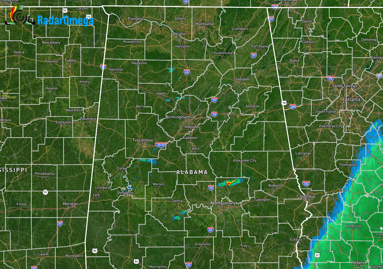
As we approach 6 pm, the inhibiting factors are winning out over any shower and thunderstorm development as cells were not able to get tall enough to maximize the available instability and shear began tearing the cells apart. While we do have a few isolated showers on radar, none are anywhere near severe or strong. We may continue to see spotty showers and maybe some thunder this evening, the severe weather threat has ended. Just like some of the local schools in the basketball tournament, there will be no second round.
Now, we will have Tuesday afternoon through Wednesday morning to look forward to as our next threat for severe weather. At this point, tornadoes, damaging winds, and large hail will be possible. This will most likely involve all of North/Central Alabama. We’ll have better details when the higher-resolution models come into view.
Oh, yeah… thank you to John de Block of NWS Birmingham for the idea of the post title.
Category: Alabama's Weather, ALL POSTS, Severe Weather
About the Author (Author Profile)
Scott Martin is an operational meteorologist, professional graphic artist, musician, husband, and father. Not only is Scott a member of the National Weather Association, but he is also the Central Alabama Chapter of the NWA president. Scott is also the co-founder of Racecast Weather, which provides forecasts for many racing series across the USA. He also supplies forecasts for the BassMaster Elite Series events including the BassMaster Classic.Subscribe
If you enjoyed this article, subscribe to receive more just like it.


