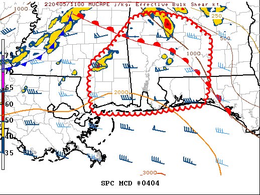
Mesoscale Discussion — Watch Coming Soon for South & Southwestern Parts of the Area
SUMMARY… A tornado risk may develop later this morning from southern Mississippi into Alabama and parts of the Florida panhandle.
DISCUSSION… A warm front continues to push rapidly north, with upper 60s to lower 70s F dewpoints now common. Stronger elevated cells producing hail have been evident at times, but mostly isolated.
Effective SRH of 300-400 m2/s2 is common across the warm sector, with higher values near the warm front. The air mass is uncapped, although low-level lapse rates remain poor. However, any cells ahead of the advancing squall line over central MS may acquire rotation.
Probability of Watch Issuance… 80 percent
Category: Alabama's Weather, ALL POSTS, Severe Weather


