Sunday Noon Update: Clouds Pretty Thick Up North, But Some Clearing Happening
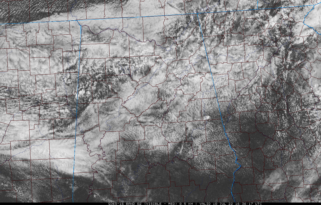
Clouds were fairly thick across the northern third of the state this morning ahead of and behind a cool front that was slowly sagging to the south. 70s greeted the day across Alabama, and the humidity was still high with dewpoints barely depressed from the air temperature cousins.
Some drier air will be working into Alabama at the mid and upper levels, but you will barely notice at the surface. Sorry about that. Regional radars were fairly quiet, but if you popped above the cloud deck for a looksee, you would see some heaps of clouds over Marion and Winston Counties, where a couple of decent showers were falling. Nothing like last night’s big boomers for sure, but even to put down a little more rain.
The clouds were eroding from northern Pickens and Lamar counties eastward into Marion, Winston, Fayette, and Walker Counties. This trend shoudl continue and expand east and southward as the day goes on.
Temperatures had already reached 80F at Selma and Montgomery by 9:30 a.m. Highs this afternoon will be all over the board, with 80s in the cloudier areas, and some 90s in the sunnier ones. A few showers will form along the front as it pushes south during the day, becoming most likely near and south of I-20 by mid-afternoon. Rainfall mounts will be heavy where the heavier showers form, but coverage will be about 30 percent. Tonight should be calm with partly cloudy skies and lows in the lower 70s.
MONDAY: Showers and storms will be limited to the southern half of the state, where the front will interact with a northward moving sea breeze to trigger and enhance the convection. Sunshine should be more plentiful and it will be seasonably warm everywhere. I-65 will be the temperature divider tomorrow, with lower 90s west and upper 80s east.
REST OF THE WEEK: Showers and storms will edge back up into the Central part of Alabama on Tuesday, but the northern third of the state should remain dry. Temperatures will be warm, in the 90-degree range, with lower 70s at night. WE will be watching the tail end of the front looking for some sort of embryonic tropical system to form. If it does, it should push off to the northeast. In any case, rain will be heavy along the Gulf Coast and pushing up into Alabama on Wednesday. We will be watching for a heavy rain and strong thunderstorm threat by then.
The disturbance will push off to the northeast, taking the rain with it for late in the week. Expect isolated shower Thursday and dry conditions for Friday and Saturday. As we push into the new week, Sunday will feature higher rain chances. Temperatures will be warming back toward the lower and middle 90s for daytime highs.
Category: Alabama's Weather, ALL POSTS
About the Author (Author Profile)
Bill Murray is the President of The Weather Factory. He is the site's official weather historian and a weekend forecaster. He also anchors the site's severe weather coverage. Bill Murray is the proud holder of National Weather Association Digital Seal #0001 @wxhistorianSubscribe
If you enjoyed this article, subscribe to receive more just like it.


