Sunday Weather Video: Elevated Rain Chances Ahead
DROUGHTWATCH: In the Rainfall Department, we’re not in bad shape here in Alabama. Only the extreme northwestern corner of the state is in the lowest level drought. Parts of the western Tennessee Valley are on the abnormally dry side. I think most areas of Alabama will get their just serves in terms of rainfall this week, although the northwestern corner will probably be in the driest again.
ON THE WEATHER MAPS: Two things of note on the map wall this morning: a deepening trough just to our northwest, and loads and loads of moisture. Precipitable water values yesterday were approaching 2 inches. Today they are exceeding 2 inches. The combination of the lift from the trough, the plentiful moisture, and daytime heating will result in fairly numerous showers and storms today across the state. Be alert for lightning. Watch for darkening clouds, and even before the thunder roars, go indoors. And certainly, if you hear it!
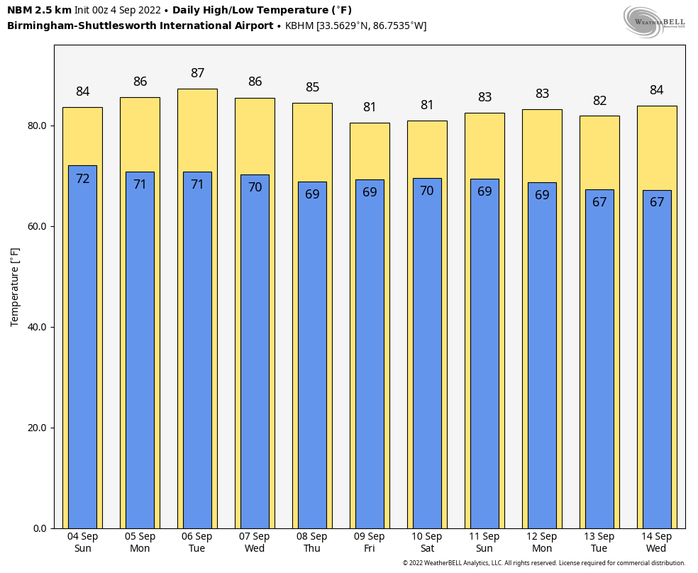
THE WEEK AHEAD: Not much change in the synoptic pattern. The trough hangs out and threatens to cut off into an upper-level low over the Lower Mississippi Valley. Moisture will continue to reload day after day. The result will be higher than normal rain chances across much of the state. High temperatures will consistently be in the lower and middle 80s, cooler when it is cloudier, and a little warmer when some sunshine can manage to sneak through. Lows will be near 70F each night.
WEEKEND OUTLOOK: The weekend looks to be even wetter, potentially. So more of the same, warm, and humid, with fairly numerous mostly afternoon showers and storms.
QUICK PEEK AT THE PACIFIC: Tropical Storm Javier has been bringing some strong winds to the Mexican coast, but it is now destined to move westward over colder water and dissipate by Tuesday. It probably won’t even be a tropical storm by the end of the day today. But watch out for what is up next in the Eastern Pacific. The next storm could end up moving across Baja and into southern California. It could be a seriously damaging buzz saw along the Baja Peninsula. Then it could bring some less than idea weather to San Diego all places.
DANIELLE: Our system over the North Atlantic weakened a bit from the hurricane status that it had achieved on Friday evening. The weakening was of its own doing as it passed over cooler that that has been upwelled in its wake. But it achieved hurricane status again overnight. It should turn to the northeast and head to where hurricanes go to die by Tuesday, passing well to the northwest of the Azores.
EARL: Earl spent Saturday wandering to the west-northwest to the north of the Leeward Islands and strengthening. By the time you read this, it most likely will be a hurricane. Earl is also going to turn to the northeast soon, staying well northeast of the Bahamas and well to the southeast of Bermuda. The rest will just be the season that just about hasn’t been padding its ACE stats.
ATLANTIC GOES QUIET AGAIN? Indications are that after Danielle and Earl exit stage right later this week, the Tropical Atlantic may go back into hibernation.
BEACHCAST: It will be a great week to head to the beautiful beaches of Alabama and Northwest Florida. If you like rain that is. Things will get really interesting by the weekend, with rain chances going through the roof. Flooding could become an issue during the week as rainfall amounts approach 4-5 inches all along the Gulf Coast during the week. Highs will be in the upper 80s to start the week, but the enhanced rain chances will back them closer to near 80F. Lows will be in the middle 70s all week. Water temperatures are in the middle 80s, still quite warm.
Click here to see the Beach Forecast Center page.
NATIONALLY: Heat is the story out west, with miles and miles of heat advisories and excessive heat warnings. They stretch all the way from Tijuana to the Canadian border out there.
DANCING WITH THE STATS: 122F at Death Valley CA on Saturday was enough to be a record for the date. Salt Lake City set a new record for their highest September temperature ever when the mercury hit 103F Saturday afternoon. The previous record was 102F.
ADVERTISE WITH US: Deliver your message to a highly engaged audience by advertising on the AlabamaWX.com website. The site enjoyed over 29 MILLION page views in the past 12 months. Don’t miss out! We can customize a creative, flexible, and affordable package that will suit your organization’s needs. Contact me, Bill Murray, at (205) 687-0782 and let’s talk.
WEATHERBRAINS: This week, the panel entertained a group of meteorologists from the Across the Sky podcast. They are doing some impressive things with new media. This week, we will hear the latest on the coming revolution in tornado warnings, FACETS, from Friend of the Podcast Greg Stumpf. Check out the show at www.WeatherBrains.com. You can also subscribe on iTunes. You can watch the show live at live.bigbrainsmedia.com or on James’ YouTube Channel You will be able to see the show on the James Spann 24×7 weather channel on cable or directly over the air on the dot 2 feed.
ON THIS DATE IN 1925: It had never been 105F in Birmingham until September 4, 1925. The previous record all-time high was 104F, set in 1901. The official weather forecast from Birmingham weatherman E.C. Horton was for continued warm and fair weather. That would be an understatement. The seven-day period between the 3rd and 9th would go on to become the greatest heat wave in Birmingham history, as measured by average temperatures during the period (104.4F). Follow my weather history tweets on Twitter. I am @wxhistorian at Twitter.com.
Category: Alabama's Weather, ALL POSTS, Weather Xtreme Videos
About the Author (Author Profile)
Bill Murray is the President of The Weather Factory. He is the site's official weather historian and a weekend forecaster. He also anchors the site's severe weather coverage. Bill Murray is the proud holder of National Weather Association Digital Seal #0001 @wxhistorianSubscribe
If you enjoyed this article, subscribe to receive more just like it.


