Dry & Mild Through the Weekend; Rain Becomes Possible on Wednesday
THE CENTRAL ALABAMA FORECAST
THIS WEEKEND: After the cold front moved through the area on Friday, temperatures will be much cooler today with a breeze at times. Skies will become sunny, with highs reaching the lower 70s to the lower 80s. A few places in the northeastern parts of the area may wake up on Sunday morning with some frost, as early morning lows will be in the upper 30 to the upper 40s across the area. We’ll make a nice recovery as it will be mild underneath mainly sunny skies and highs in the lower 70s to the lower 80s.
WARMING TREND STARTS OFF THE WORK WEEK: We’ll have some ridging move in on Monday that will allow for afternoon highs to start to increase. Skies will be sunny, with highs in the mid 70s to the lower 80s. Humidity and temperatures will be increasing on Tuesday ahead of an approaching cold front, but we’ll continue to stay sunny and dry with highs in the lower to mid 80s.
RAIN CHANCES INCREASE ON WEDNESDAY: We’ll start to see a surge of moisture move up from the Gulf of Mexico on Wednesday that will bring a chance of rain to the area as we’ll start to get a little lift from the approaching front. A few showers may be possible during the afternoon, but the higher chances will be during the evening through the overnight. Highs in the lower to mid 80s.
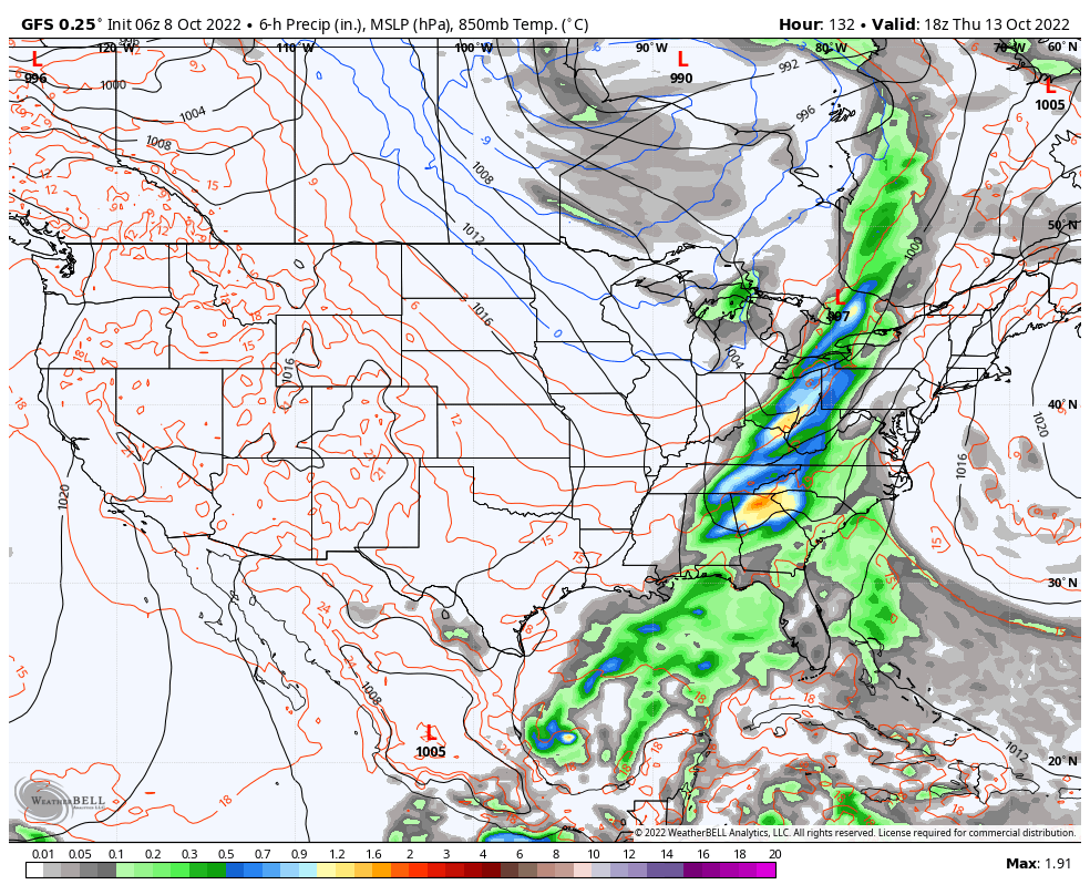
The front moves through the area on Thursday, that will continue the risk of showers and thunderstorms throughout much of the day. Highs will be in the upper 70s to the lower 80s.
DRY & COOLER ON FRIDAY: Drier and cooler air will be flowing into the area behind the departing cold front, that will drop our temperatures and humidity levels. Highs will be in the upper 60s to the mid 70s.
THE TROPICS
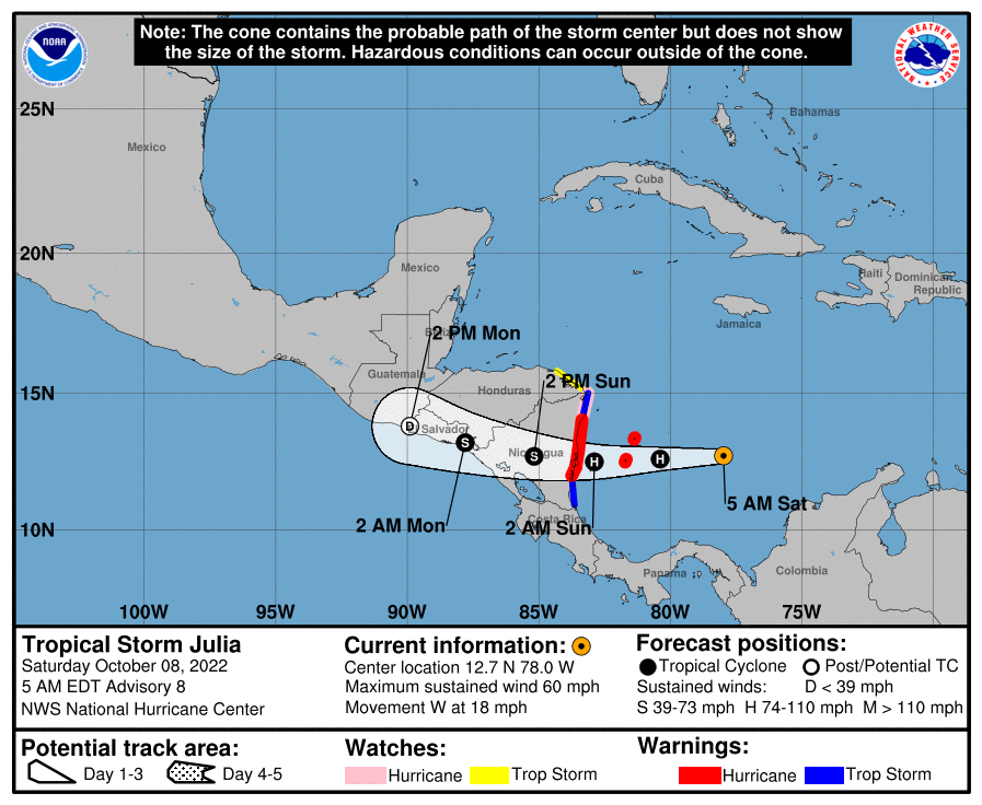
TROPICAL STORM JULIA: As of 4 am this morning, Julia was located around 235 miles to the east-southeast of Isla de Providencia, Columbia, with maximum sustained winds at 60 mph. Julia is forecast to strengthen into a hurricane today as it approaches Nicaragua. Flash floods and mudslides will be possible from the heavy rains over Central America through the weekend. Julia is expected to rapidly weaken inland on Sunday and become a remnant low on Monday. The rest of the tropics are quiet for now.
Category: Alabama's Weather, ALL POSTS, Tropical, Weather Xtreme Videos
About the Author (Author Profile)
Scott Martin is an operational meteorologist, professional graphic artist, musician, husband, and father. Not only is Scott a member of the National Weather Association, but he is also the Central Alabama Chapter of the NWA president. Scott is also the co-founder of Racecast Weather, which provides forecasts for many racing series across the USA. He also supplies forecasts for the BassMaster Elite Series events including the BassMaster Classic.Subscribe
If you enjoyed this article, subscribe to receive more just like it.


