A Warm Weekend, Followed By a Much Cooler Work Week
THE CENTRAL ALABAMA WEEKEND
Saturday looks to be a mainly sunny day for most across Central Alabama, but we may see a few clouds move in over the northern parts of the area late from a slowly approaching cold front. We’ll stay dry and warm, with highs in the lower to mid 80s across the area.
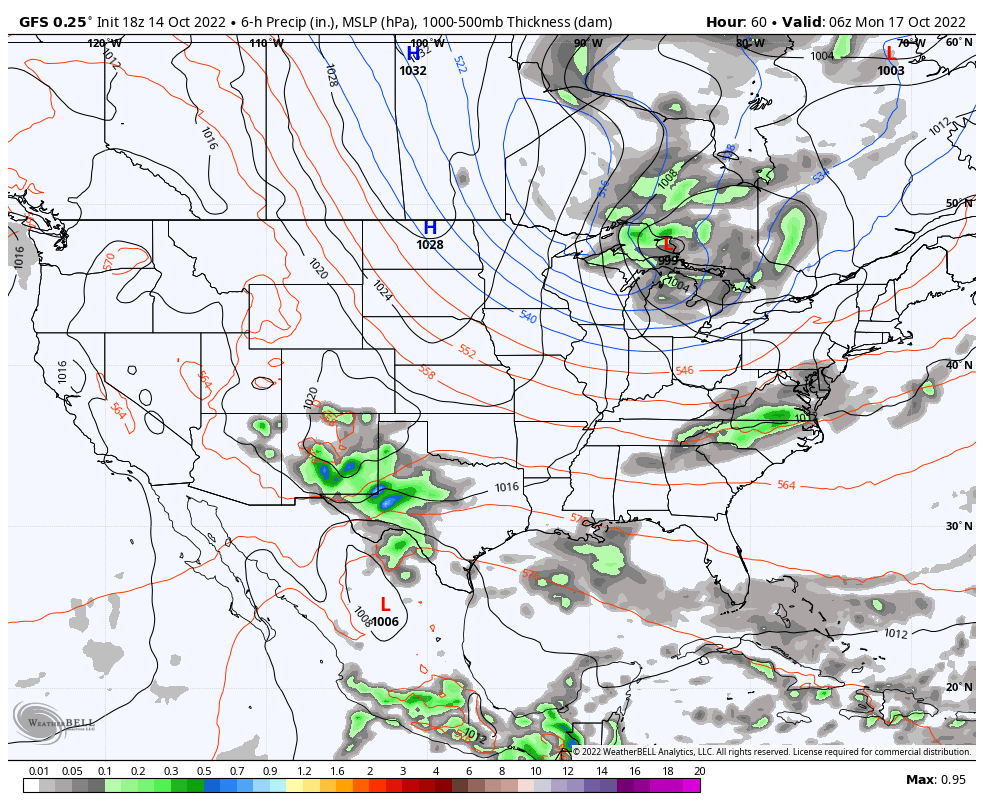
The front will start to work its way into the northern parts of the area late on Sunday, and a few isolated to scattered showers will be possible for the northern half of the area from early evening through the late-night and overnight hours. Highs in the upper 70s to the mid 80s.
NEXT WEEK
The cold front will move through the southern half of the area early on Monday morning that will bring any shower chances to an end. That will leave us with clearing skies and drier and cooler air filtering in. Highs in the mid 60s to the upper 70s.
The trough over the eastern US and sends a blast of colder air into the Deep South. Tuesday will be breezy at times with sunny skies, but highs will only be in the lower 50s to the lower 60s. Some scattered frost will be possible across much of the area, as lows will be in the upper 20s to the mid 30s.
The good news is that winds will be calmer on Wednesday, but temperatures will not be that much warmer. Skies will be sunny, with highs in the upper 50s to the mid 60s.
We see the trough start to retreat northward and eastward on Thursday, which will allow our air to originate from more of the continental locations. Skies will continue to be sunny and highs will be throughout the 60s.
And at the end of the forecast period on Friday… The warming trend will continue over the southeast as skies will continue to be sunny. Afternoon highs in the upper 60s to the lower 70s.
THE TROPICS
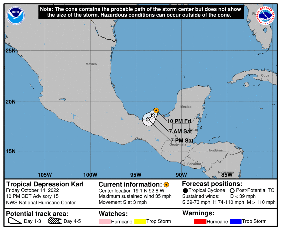
As of 10 pm Friday night, Karl has weakened into a tropical depression and all of the watches and warnings have been dropped for the Mexican coast. Karl is expected to become post-tropical on Saturday and eventually dissipating on Sunday over Southern Mexico.
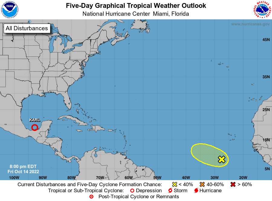
We also have a tropical wave that is producing a large area of cloudiness and showers several hundred miles southwest of the Cabo Verde Islands, but that activity is not showing any signs of organization. Upper-level winds are expected to increase over the system during the weekend, therefore significant development is not anticipated while the wave moves westward or west-northwestward at about 10 mph.
ON THIS DAY IN WEATHER HISTORY – 1954
Hurricane Hazel made landfall near Cape Fear, North Carolina with winds near 150 mph and a central pressure of 938 millibars (27.70 inches) – a category 4 hurricane. Tides reached 18 feet above normal, resulting in extreme destruction along the North Carolina coast. At Long Beach, just west of Southport, 300 homes simply vanished. No debris remained – everything was swept away. Every fishing pier from Myrtle Beach, South Carolina to Cedar Island, North Carolina, a total of 170 miles, was destroyed. As the hurricane moved inland, it rapidly transformed into an extremely powerful extra tropical storm and raced north-northwestward through the Mid Atlantic states. Washington, DC had record setting winds sustained at 78 mph with gusts to 98 mph. Hazel killed 95 people and caused $251 million in damage in the U.S. As Hazel moved into southern Ontario it interacted with a strong cold front and unloaded over 8 inches of rain on already saturated soil in the Toronto area and major flash flooding occurred. Another 78 people were killed in Ontario, with damage around $100 million.
Category: Alabama's Weather, ALL POSTS, Tropical, Weather Xtreme Videos
About the Author (Author Profile)
Scott Martin is an operational meteorologist, professional graphic artist, musician, husband, and father. Not only is Scott a member of the National Weather Association, but he is also the Central Alabama Chapter of the NWA president. Scott is also the co-founder of Racecast Weather, which provides forecasts for many racing series across the USA. He also supplies forecasts for the BassMaster Elite Series events including the BassMaster Classic.Subscribe
If you enjoyed this article, subscribe to receive more just like it.


