Very Nice So Far As We Approach the Midday Hour
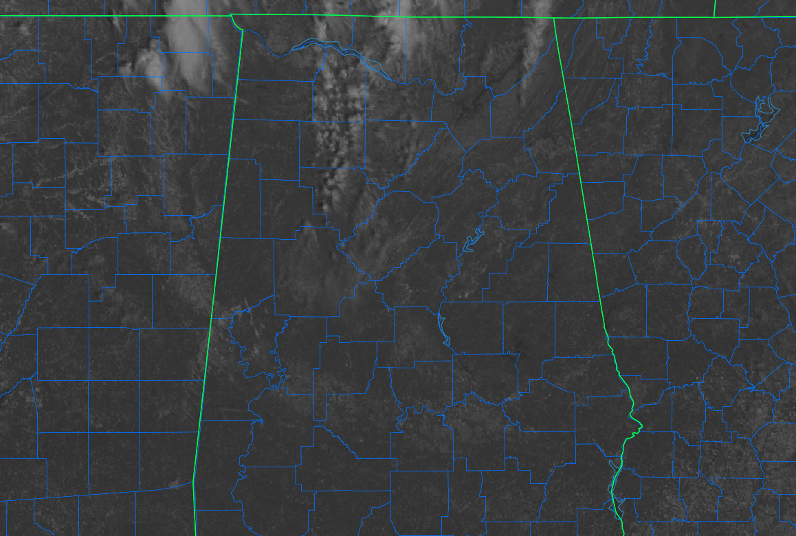
At 10:56 am, skies for the southern half of Central Alabama were free from clouds and filled with complete sunshine. On the other hand, a few clouds are moving quickly eastward across the northern half of the area, bringing a few moments of shade to a few locations. Temperatures as of the 10 am roundup were in the upper 50s to the mid 60s across the area. Gadsden was the only location still in the 50s at 58º. Birmingham, Demopolis, and Troy were all tied as the warm spots at 66º.
Latest model runs continue to show the potential for some scattered clouds to move across Central Alabama during the afternoon and early evening hours, with most of the coverage dissipating during the late night and overnight hours. Today’s highs look to top out in the mid to upper 70s, with overnight lows dipping into the mid 40s to the lower 50s.
Much of Sunday looks to be a mainly clear and sunny day, with only a few fair-weather clouds moving across the sky at times. Humidity values will remain low across the area, and rain is not expected in the area until closer to midweek. Highs will be in the mid to upper 70s.
NEXT WEEK
Monday and much of Tuesday will be really nice across the area with warmer temperatures, but we do see the potential for showers and thunderstorms beginning to move into the western portions of Central Alabama by Tuesday evening. The activity will move through and eventually out of the area by mid-morning on Wednesday, and skies will begin to clear out. Not everyone will see rain, as overall chances only look to be around 40-50% at this point.
Mainly sunny skies return on Thursday, with seasonal temperatures and lower humidity. We continue to see evidence of a shortwave moving through the area on Friday that will bring a chance of showers, but those overall rain chances look to be less than 40% at this juncture.
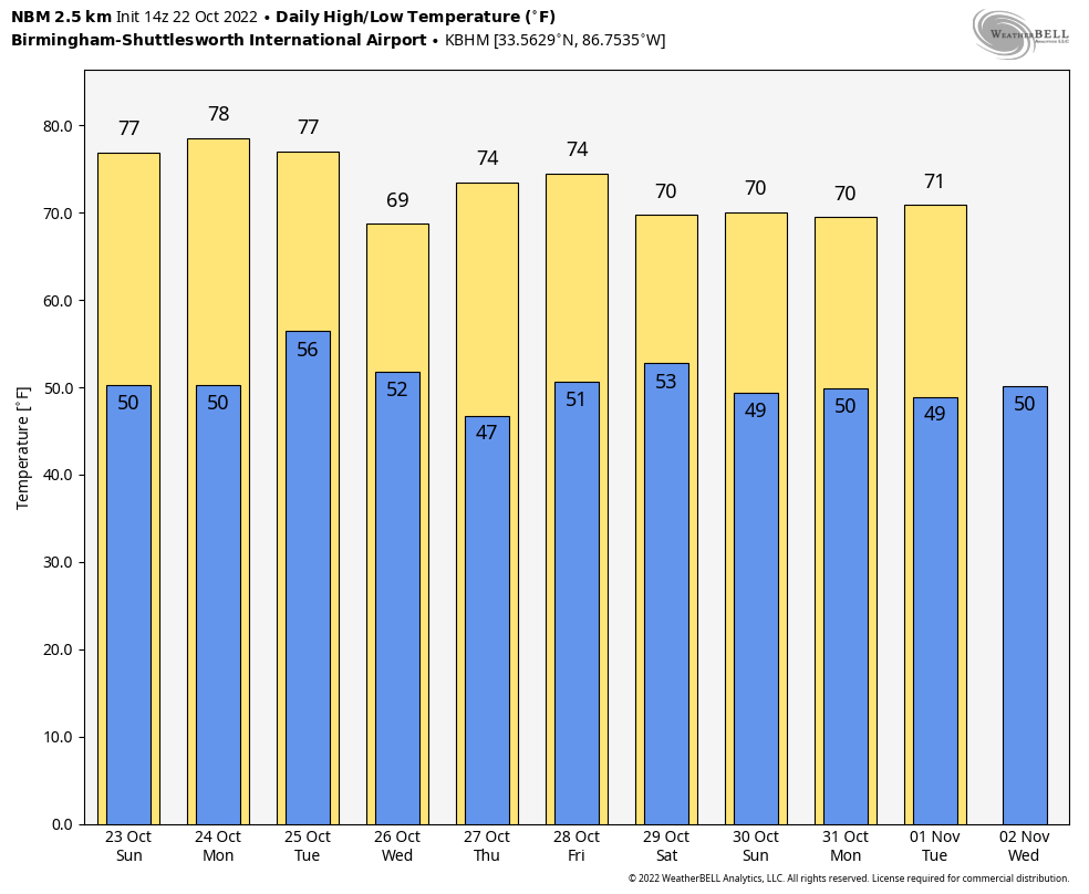
Temperatures look to stay close to normal for this time of the year, as highs will mainly in the upper 60s to the upper 70s and lows staying in the 40s and 50s through the beginning of November.
THE TROPICS
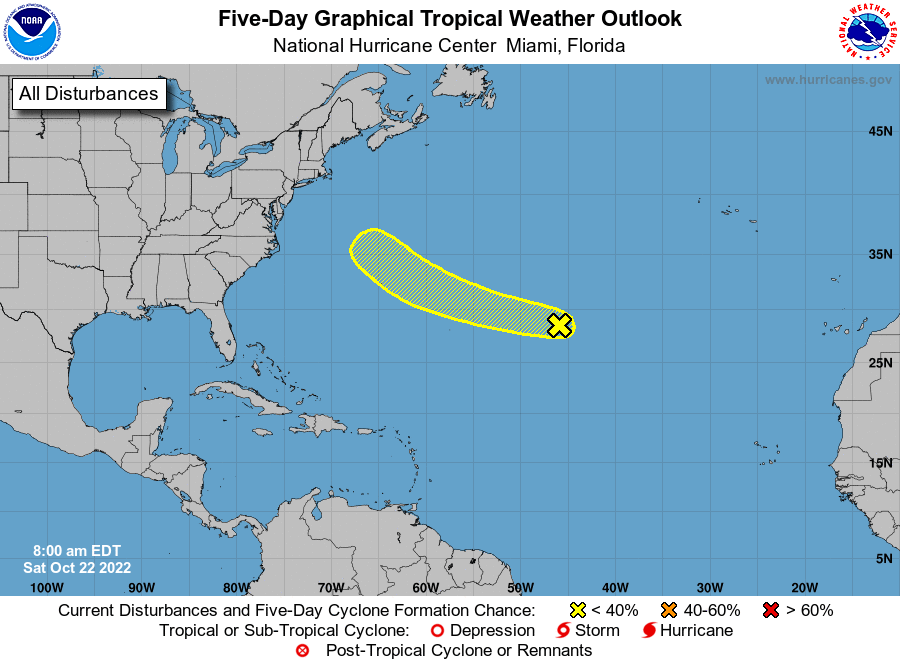
Central Subtropical Atlantic: A small, non-tropical area of low pressure located well east of Bermuda is producing limited shower activity. Although environmental conditions are only marginally conducive for development during the next few days, the low could still acquire some subtropical or tropical characteristics by early next week while it moves westward to west-northwestward at 15 to 20 mph across the subtropical Atlantic. By the middle part of next week, further development appears unlikely while the system moves northwestward over cooler waters of the northwestern Atlantic and encounters stronger upper-level winds.
* Formation chance through 48 hours… low… 10 percent.
* Formation chance through 5 days… low… 20 percent.
Category: Alabama's Weather, ALL POSTS, Tropical
About the Author (Author Profile)
Scott Martin is an operational meteorologist, professional graphic artist, musician, husband, and father. Not only is Scott a member of the National Weather Association, but he is also the Central Alabama Chapter of the NWA president. Scott is also the co-founder of Racecast Weather, which provides forecasts for many racing series across the USA. He also supplies forecasts for the BassMaster Elite Series events including the BassMaster Classic.Subscribe
If you enjoyed this article, subscribe to receive more just like it.


