Sunday Weather Briefing: A Chilly Sunday, Thanksgiving Looks Dry, Iron Bowl Maybe Not So Much
FOR YOUR SUNDAY: Temperatures this morning are at or below freezing along and north of I-20, with 30s to the south. We should see increasing sunshine as we go through the morning. Highs this afternoon will only reach the lower 40s up north, with middle and upper 40s across Central Alabama. Lows tonight will drop back into the 20s over the northern half of the state.
MONDAY: Tomorrow should feature a good supply of sunshine with warmer temperatures. Highs will be in the 50s areawide. A system will be trying to spin up over the Gulf of Mexico by Monday night, which could bring a few showers on…
TUESDAY: Showers will be possible, mainly over East Central and Southeast Alabama as that low begins to take shape and heads northeastward. Any heavy rain and any storms will be to the east of Alabama. Highs on Tuesday will be in the 50s with mostly cloudy skies.
WEDNESDAY: The supposed busiest travel day of the year will be relatively free of weather-related travel troubles it appears. There will be some snows over the northern Rockies, and in Maine, but the rest of the country will see relatively fine weather. Of course, I think this is a very different Thanksgiving holiday week than ever before as lots of school systems are taking the entire week off, and travel started a little earlier and may be more spread out this year. Here in Alabama, Wednesday will feature partly to mostly sunny skies with highs near 60 degrees after a morning start in the upper 30s to lower 40s.
THANKSGIVING DAY: The day should feature increasing clouds for us as our next storm system takes shape to our west. Highs will be in the lower 60s after another morning in the lower 40s. Rain should hold off until late in the evening over northwestern sections of our state.
BLACK FRIDAY: The big shopping day will feature a chance of rain during the day, with rain becoming likely Friday night. Highs will be limited to the 50s.
IRON BOWL DAY: Saturday could be a wet one across much of the area, including Tuscaloosa, the site of the annual Iron Bowl tilt. It looks like rain will become increasingly likely Saturday night with a good soaking ahead through Sunday. We could use the rain, but it would be nice if it held off til after the game. Lots of uncertainty here in this part of the forecast, so hang tight.
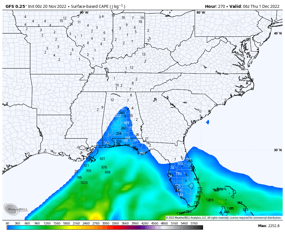
BACK TO WORK AND SCHOOL: The following week looks dry and cool until Wednesday night and Thursday when another cold front bring in some rain and possibly storms. Severe weather is possible with that system if it holds together like the overnight run of the GFS suggests in the above graphic showing instability over South and South Central Alabama.
POTENTIAL LATE TROPICAL MISCHIEF: There are some signs that a tropical depression could form over the Caribbean in the second week of the forecast around November 29th. It should not be a threat to the U.S., but we will be watching.
BEACHCAST: Some folks enjoy their turkey and dressing at the beach, and while the weather won’t be exceptionally nice in this holiday week, it won’t be bad either. Showers have moved offshore early this morning and today will feature mostly cloudy but dry conditions along the beautiful beaches of Alabama and Northwest Florida. A few showers may affect eastern Panhandle beaches late Tuesday into Wednesday as low pressure tries to spin up along the southeastern coast. Showers return Friday night and Saturday looks wet. Expect improving conditions by Sunday. Highs will be in the 50s today, 60s, Monday and Tuesday, and near 70F Wednesday and Thursday. 60s will be the rule starting Friday into the following week. Lows will be in the 30s tonight, and then 40s will be common for much of the next 5-7 nights.
Click here to see the Beach Forecast Center page.
DANCING WITH THE STATS: 17.2 niches of snow was recorded at the Buffalo NY Airport for the 24 hours ending at 7 a.m. Saturday. The old record was 7.6 inches. Another 5 inches of snow fell on top of this record amount in just one hour Saturday evening. The lake effect snow event that started on Friday dumped 77 inches of snow on Orchard Park NY in 24 hours.
WEATHERBRAINS: This week, the panel will entertain some folks from Climavision, a company that is working to fill some of those infamous radar holes across the country. Like the one that exists over West Central Alabama and eastern Mississippi. Check out the show at www.WeatherBrains.com. You can also subscribe on iTunes. You can watch the show live at live.bigbrainsmedia.com or on James’ YouTube Channel You will be able to see the show on the James Spann 24×7 weather channel on cable or directly over the air on the dot 2 feed.
ON THIS DATE IN 1274: Kublai Khan was foiled not once, but twice in his desire to invade Japan, both times by a typhoon. The first of these kamikazes or “divine winds” occurred on this date. Follow my weather history tweets on Twitter. I am @wxhistorian at Twitter.com.
Category: Alabama's Weather, ALL POSTS, Weather Xtreme Videos
About the Author (Author Profile)
Bill Murray is the President of The Weather Factory. He is the site's official weather historian and a weekend forecaster. He also anchors the site's severe weather coverage. Bill Murray is the proud holder of National Weather Association Digital Seal #0001 @wxhistorianSubscribe
If you enjoyed this article, subscribe to receive more just like it.


