Warmer Days Ahead; Rain By The End Of The Week
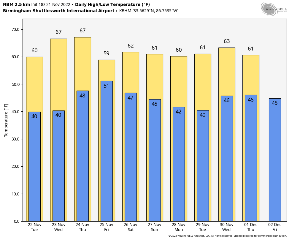
NICE WARM-UP: Temperatures are in the 50s over the northern half of Alabama this afternoon after lows this morning in the 18-28 degree range. We are seeing low 60s across South Alabama with a good supply of sunshine. Clouds will increase across the state tonight, and most places will remain above freezing for the first time in five days… we project lows early tomorrow in the 32-40 degree range.
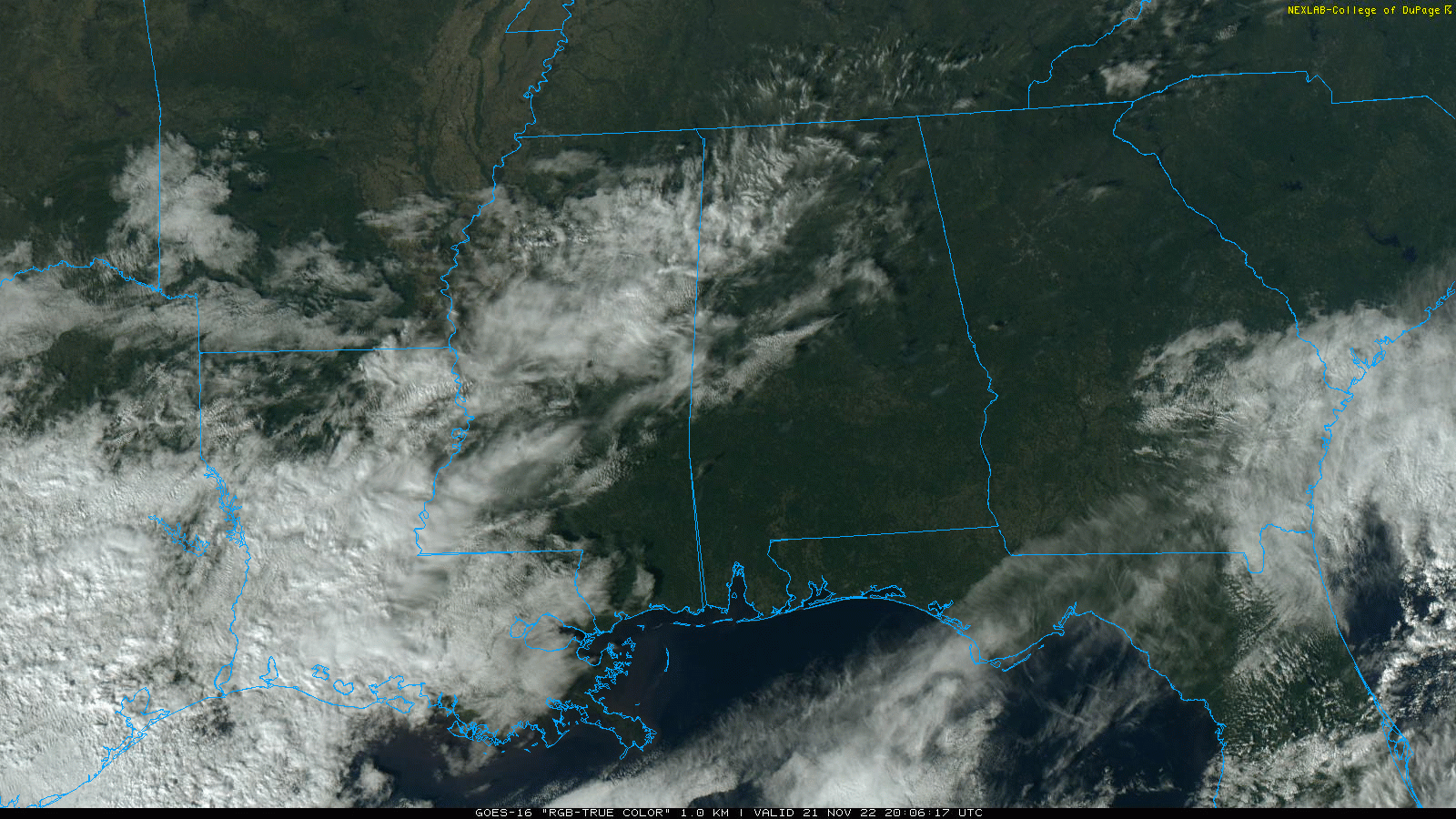
Tomorrow will feature a mix of sun and clouds with a high in the low 60s; we will maintain the chance of a few isolated showers, but most places will stay dry.
REST OF THE WEEK: Wednesday will be dry and mild with a high in the 65-70 degree range as the warming trend continues. Clouds increase on Thanksgiving Day, but it still looks like most of the rain will hold off until Thursday night. The high Thursday afternoon will be in the upper 60s for most communities.
Period of rain are likely Thursday night and Friday as a complex weather system forms to the west. Some thunder is possible, but severe storms are not expected at this time. The high Friday will be close to 60 degrees.
THE WEEKEND: Global models continue to be very inconsistent, making for a lower than usual confidence forecast for Saturday. We will need to maintain a chance of rain through Saturday morning, but at the moment it looks like the best chance of rain by Saturday afternoon will shift into East Alabama. Sunday will be day and pleasant with a partly sunny sky. Highs over the weekend will be in the low 60s.
NEXT WEEK: Forecast confidence remains low with an active southern branch of the jet stream. New guidance suggests the weather will be dry Monday and Tuesday, followed by a chance of rain Tuesday night and Wednesday. Then, dry air returns Thursday and Friday. Highs will be mostly in the 60s… See the daily Weather Briefing video for maps, graphics, and more details.
IRON BOWL: For the biggest football game of the year in Tuscaloosa (Auburn at Alabama… 2:30p CT kickoff), we are still forecasting a dry afternoon, but clouds will likely linger across West Alabama. Kickoff temperature near 62 degrees, falling into the upper 50s by the second half. Some rain is very possible, if not likely, in Tuscaloosa Saturday morning before the game.
TROPICS: The Atlantic basin remains quiet, and hurricane season ends in 9 days.
ON THIS DATE IN 1992: The November 21-23, 1992 tornado outbreak was the 3rd largest outbreak in recorded history and one of the longest continuous outbreaks ever recorded. There was no break in tornado activity from 1:30 pm on the 21st when the tornadoes started in Texas until 7:30 am on the 23rd when the last tornadoes lifted in North Carolina. On this date, severe thunderstorms spawned six tornadoes within 70 minutes in the Houston metro area in Texas. At one time, there were three on the ground in Harris County. The strongest, an F4, tracked 20 miles through the eastern suburbs of Houston destroying 200 homes and damaging 1,000 more. Alabama would experience
A long-track F4 had a damage path in Mississippi of 128 miles, stretching from just outside of Hopewell to just west of Sherwood. A total of twelve people were killed, which eight of those were in mobile homes. Another 122 people were injured as this monster tore across seven counties while damaging or destroying at least 700 homes, including well-built brick mansions.
A total of 13 tornadoes would touch down in Alabama on November 22.
BEACH FORECAST: Click here to see the AlabamaWx Beach Forecast Center page.
Look for the next Weather Xtreme video here by 6:00 a.m. tomorrow…
Category: ALL POSTS
About the Author (Author Profile)
James Spann is one of the most recognized and trusted television meteorologists in the industry. He holds the AMS CCM designation and television seals from the AMS and NWA. He is a past winner of the Broadcast Meteorologist of the Year from both professional organizations.Subscribe
If you enjoyed this article, subscribe to receive more just like it.


