Midday Nowcast: Clearing Sky and Colder
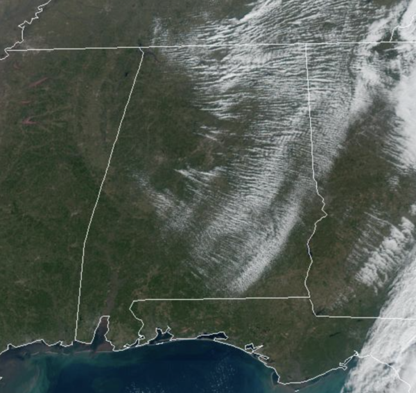
Drier and colder air is flowing into the state today. The morning clouds continue to clear and by this afternoon it will be sunshine in full supply. Temperatures this afternoon are mainly in the 50s. Tonight will be clear and cold with lows in the low to mid 30s.
FRIDAY AND THE WEEKEND: Tomorrow and Saturday will be dry for the northern half of the state, but a feature will work along the Gulf Coast this weekend bringing clouds and some rain down that way. Highs tomorrow will be in the 50s, and only in the mid and upper 40s Saturday. Temperatures go below freezing Sunday morning with most many locations in the 20s. Sunday will be sunny and cold with highs in the 40s.
COLD, THEN COLDER: The first half of next week looks dry, with highs in the upper 40s and lows 50s. On Thursday, an Arctic front could bring rain back to Alabama, perhaps some wintry precipitation could be involved somewhere in the state, but this is still a week away, and subject to change. We do know that the coldest air of the season blows into the Deep South behind this front, just in time for Christmas. Highs drop into the 20s and 30s, with lows in the teens. Colder spots over North Alabama could dip into the single digits, and some places could be below freezing for 48-72 consecutive hours. Certainly a brutally cold Christmas weekend is in store for much of the country.
BEACH FORECAST CENTER: Get the latest weather and rip current forecasts for the beaches from Fort Morgan to Panama City on our Beach Forecast Center page. There, you can select the forecast of the region that you are interested in visiting.
WORLD TEMPERATURE EXTREMES: Over the last 24 hours, the highest observation outside the U.S. was 108.3F at Marble Bar, Australia. The lowest observation was -72.0F at Delyankir, Russia.
CONTIGUOUS TEMPERATURE EXTREMES: Over the last 24 hours, the highest observation was 86F at Immokalee, FL. The lowest observation was -10F at Frenchgien, OR.
Category: Alabama's Weather, ALL POSTS
About the Author (Author Profile)
Macon, Georgia Television Chief Meteorologist, Birmingham native, and long time Contributor on AlabamaWX. Stormchaser. I did not choose Weather, it chose Me. College Football Fanatic. @Ryan_StinnetSubscribe
If you enjoyed this article, subscribe to receive more just like it.


