Saturday Weather Briefing — Rain Moves in Today; Severe Storms Possible Late-Night Tuesday
THE CENTRAL ALABAMA WEEKEND
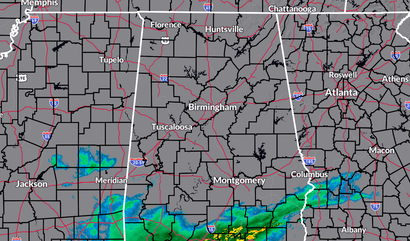
We’re starting today off with most of Central Alabama remaining dry, but the radar as of 5:58 am does show showers over the extreme southeastern portions of the area. Those showers will slowly move northward through the day, with chances being the greatest over the southern half of the area, but eventually becoming likely for all of Central Alabama by this evening. Highs in the lower to mid 50s.
Rain will continue through much of the day on Sunday, especially for the eastern half of the area. There might just be enough instability for a few claps of thunder east of I-65, but no strong to severe storms are expected. Rain will be in the process of moving out of the area during the evening and late-night hours. Highs in the lower 50s to the upper 60s from northwest to southeast.
THE CENTRAL ALABAMA WORK WEEK
Skies will begin to clear out on Monday as we’ll get a chance to dry out for a day. It will eventually become sunny before sunset and highs will be in the upper 40s to the upper 50s.
Our next dynamic system will be building off to our west on Tuesday and will eventually move into the area during the late-night hours. By sunrise on Wednesday, rain and storms will be likely across all the area, but will be quickly exiting the area by mid-afternoon.
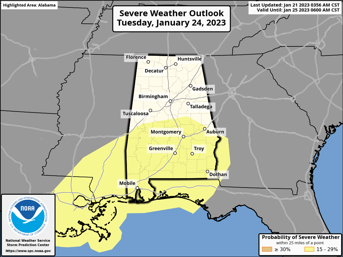
There will be ingredients in place for the chance of severe storms, and the Storm Prediction Center has the southern half of the state in a Slight Risk on their Day 4 Severe Weather Outlook. Threats will be from damaging straight line winds and one or two tornadoes. Highs on Tuesday will be in the upper 50s to the lower 60s, and in the mid 40s to the mid 60s from northwest to southeast on Wednesday. We’ll get a better idea on timing and threats when the higher-definition models come into play.
Thursday will be a partly to mostly cloudy and very cool day across the area with afternoon highs only reaching the mid 40s to the mid 50s.
And at the end of the forecast period on Friday… Temperatures will start to recover as we’ll have sunny skies, but we’ll remain in the middle of a trough that will keep it cool across the area. Highs in the 50s.
ON THIS DAY IN WEATHER HISTORY – 1863
A severe coastal storm dropped heavy rain on the Fredericksburg area of Virginia. It disrupted a Union Army offensive in an ill famed “mud march”.
Category: Alabama's Weather, ALL POSTS, Severe Weather, Weather Xtreme Videos
About the Author (Author Profile)
Scott Martin is an operational meteorologist, professional graphic artist, musician, husband, and father. Not only is Scott a member of the National Weather Association, but he is also the Central Alabama Chapter of the NWA president. Scott is also the co-founder of Racecast Weather, which provides forecasts for many racing series across the USA. He also supplies forecasts for the BassMaster Elite Series events including the BassMaster Classic.Subscribe
If you enjoyed this article, subscribe to receive more just like it.


