Midday Nowcast: Sun, Clouds, and Spring-like Warmth
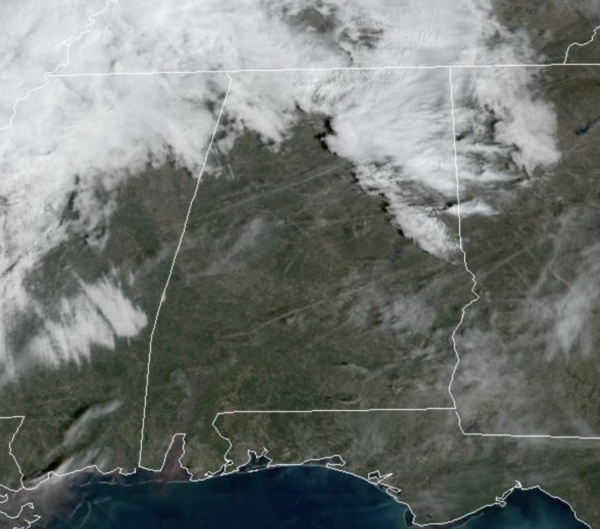
A mix of sun and clouds and warmer temperatures highlight the forecast for the rest of today. Temperatures are approaching 70° in many locations this afternoon, and we are actually seeing a southerly breeze increase as well, averaging 10-20 mph, with some higher gusts. No weather issues if you hitting the town with your Valentine tonight!!!
TONIGHT/TOMORROW: A weak surface front will push some rain into the state late tonight and then become stationary through the day tomorrow. Areas of rain will be more common for the northern half of the state overnight with lows in the upper 50s and lower 60s. Rain and a few storms will possible throughout the day tomorrow and it will stay mild with highs in the upper 60s and lower 70s.
STRONG STORMS THURSDAY: A more potent front will move into the state Thursday bringing more rain and storms as it does. There will be decent amount of surface based instability along with strong wind fields, which will support the threat of strong to severe storms. The Storm Prediction Center (SPC) has all of Alabama in a in a “slight risk” (level 2/5) of severe thunderstorms Thursday. The primary threat of strong to severe storms will come during the afternoon and evening hours, and over the western 2/3 of the state. Based on forecast instability and wind profiles, thunderstorms will be capable of producing hail, strong winds, and a few isolated tornadoes. The day will be mild and breezy with a high in the low to mid 70s.
Having this type of threat is common this time of the year…remember Alabama’s tornado season runs from November through May. Simply have a reliable way of hearing warnings if they are needed and have a good plan of action in the event you fall into a tornado warning polygon.
FRIDAY AND THE WEEKEND: Behind the front, the weather turns sharply colder Friday with a clear sky; highs will be in the 40s and 50s with a brisk north wind. Temperatures will drop into the 20s Saturday morning. But, the rest of the weekend will feature a warming trend with sunny days and clear nights. The high Saturday will be in the mid to upper 50s, and most all communities will be in the 60s on Sunday.
NEXT WEEK: Dry and mild weather is the story Monday and Tuesday; then is looks rain returns in the Wednesday/Thursday time frame… too early to know if severe storms will be an issue. The weather does look rather mild next week as well.
BEACH FORECAST CENTER: Get the latest weather and rip current forecasts for the beaches from Fort Morgan to Panama City on our Beach Forecast Center page. There, you can select the forecast of the region that you are interested in visiting.
WORLD TEMPERATURE EXTREMES: Over the last 24 hours, the highest observation outside the U.S. was 110.1F at Ondangwa, Namibia. The lowest observation was -69.5F at Delyankir, Russia.
CONTIGUOUS TEMPERATURE EXTREMES: Over the last 24 hours, the highest observation was 85F at Key West, FL. The lowest observation was -8F at Big Piney, WY.
Category: Alabama's Weather, ALL POSTS
About the Author (Author Profile)
Macon, Georgia Television Chief Meteorologist, Birmingham native, and long time Contributor on AlabamaWX. Stormchaser. I did not choose Weather, it chose Me. College Football Fanatic. @Ryan_StinnetSubscribe
If you enjoyed this article, subscribe to receive more just like it.


