Midday Nowcast: Another Very Warm March Day
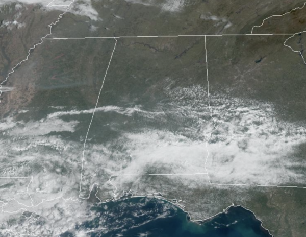
Highs again today are well-above average for early March with afternoon temperatures in the 70s and 80s. We are seeing plenty of sun today, and we note with moisture levels on the rise, we are likely to see some rain on the radar this afternoon, with a few more clouds, but most of this shower activity will be across southern portions of Alabama. Tonight will be mainly clear and cool with lows in the upper 40s to lower 50s.
USA BRIEF: Moisture increasing along a frontal zone across areas of the Southern Plains and Mid-Lower Mississippi Valley will likely focus showers and thunderstorms, where rainfall could be heavy during the middle of the week. The west coast remains unsettled with occasional rain and higher elevation snow will accumulate; the threat for flooding may increase late this week for portions of California.
COOLER DAYS AHEAD: A weak boundary drops into the state tomorrow, bringing cooler air to the northern half of the state tomorrow and through the end of the week. Also, this boundary will provide much of the area with better rain chances, with scatter rain showers in the forecast the next three days, but Thursday and Friday will feature the higher rain chances. Highs tomorrow will drop into the 60s for much of North Alabama, followed by 50s and 60s Thursday, but Friday should feature highs closer to 70°. South of the boundary this week, it will remain warm with upper 70s and lower 80s across southern portions of Alabama.
THE ALABAMA WEEKEND: Saturday is still looking mainly dry with highs in the 60s and more sun than clouds. Rain returns Sunday afternoon, some thunder is possible with a bit of surface based instability, but for now we are not expecting any threat of severe storms. Highs Sunday should hold in the 60s as well. Chilly nights are in the forecast this weekend, with widespread 30s and 40s.
NEXT WEEK: Still some model inconsistencies next week, but it looks like with a changing weather pattern over the U.S., we should be trending colder. A few lingering showers are possible Monday morning, then the rest of the week is looking generally rain-free with below average temperatures. Lows dip into the 30s over the northern half of the state Tuesday, Wednesday, and Thursday morning, and some of the colder spots could touch the freezing mark. But for now it doesn’t look like a widespread or especially damaging freeze.
BEACH FORECAST CENTER: Get the latest weather and rip current forecasts for the beaches from Fort Morgan to Panama City on our Beach Forecast Center page. There, you can select the forecast of the region that you are interested in visiting.
WORLD TEMPERATURE EXTREMES: Over the last 24 hours, the highest observation outside the U.S. was 111.4F at Ondangwa, Namibia. The lowest observation was -90.6F at Vostok, Antarctica.
CONTIGUOUS TEMPERATURE EXTREMES: Over the last 24 hours, the highest observation was 97F at Rio Grande Village, TX. The lowest observation was -41F at Peter Sinks, UT.
Category: Alabama's Weather, ALL POSTS
About the Author (Author Profile)
Macon, Georgia Television Chief Meteorologist, Birmingham native, and long time Contributor on AlabamaWX. Stormchaser. I did not choose Weather, it chose Me. College Football Fanatic. @Ryan_StinnetSubscribe
If you enjoyed this article, subscribe to receive more just like it.


