Severe T-Storm Watch — Parts of Central Alabama Until 8 am
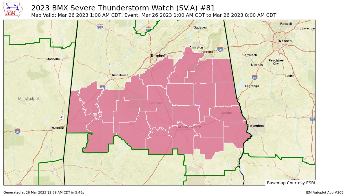
The SPC & NWS Birmingham have issued a SEVERE THUNDERSTORM WATCH effective immediately for the following counties in Central Alabama: Autauga, Bibb, Bullock, Chambers, Chilton, Clay, Coosa, Dallas, Elmore, Greene, Hale, Lee, Lowndes, Macon, Marengo, Montgomery, Perry, Randolph, Russell, Shelby, Sumter, Talladega, Tallapoosa. The watch goes until 8 am.
Here’s the SPC’s text:
The NWS Storm Prediction Center has issued a
* Severe Thunderstorm Watch for portions of
Central Alabama
* Effective this Sunday morning from 100 AM until 800 AM CDT.
* Primary threats include…
Scattered large hail and isolated very large hail events to 2.5
inches in diameter possible
Isolated damaging wind gusts to 65 mph possible
A tornado or two possible
SUMMARY…A few supercells should develop along a west-southwest to
east-northeast oriented moisture gradient this morning. Large hail
will be the primary hazard.
Category: Alabama's Weather, ALL POSTS, Severe Weather
About the Author (Author Profile)
Scott Martin is an operational meteorologist, professional graphic artist, musician, husband, and father. Not only is Scott a member of the National Weather Association, but he is also the Central Alabama Chapter of the NWA president. Scott is also the co-founder of Racecast Weather, which provides forecasts for many racing series across the USA. He also supplies forecasts for the BassMaster Elite Series events including the BassMaster Classic.Subscribe
If you enjoyed this article, subscribe to receive more just like it.


