Sunday Weather Discussion Video: An Unsettled Week Ahead for Alabama
On the morning of April 2, 1974, Mr. Robert Ferry, the Meteorologist in Charge of the National Weather Service Forecast Office in Birmingham received a call from Allen Pearson, Director of the National Severe Storms Forecast Center in Kansas City. Dr. Pearson started the call by asking about the tornadoes that had popped through the state of Alabama the night before. Mr. Ferry said that although things had been bad, they could have been a lot worse.
Dr. Pearson told Mr. Ferry that if he thought the April Fool’s Day weather was rough, just wait until Wednesday. It was already apparent to forecasters that a massive outbreak of severe weather was likely the next day. The rest is history. And it is today’s Weather History: Rest of the Story. Look for a special blog post at 9 a.m.
ALABAMA NOT UNSCATHED FROM LAST EVENT: While much more widespread severe weather was reported to the north and west of Alabama on Friday and Saturday, our state did not escape unscathed. An EF3 tornado touched down in northern Madison County around 3:09 a.m. Saturday morning just northwest of Hazel Green. It stayed on the ground for 12.10 miles and had peak winds of 160 mph. Unfortunately, it took the life of a man in a single-family home along Borderline Road. The NWS in Birmingham reported that an EF0 tornado occurred in Etowah County just before 5 a.m. Saturday. It was on the ground for 3.10 miles and caused 2 injuries. Top winds were 85 mph. An apparent tornado touched down near Bear Creek in Marion County, causing 1 injury in a mobile home that was overturned. NWS survey teams will investigate and rate this storm today, and determine if it indeed was a tornado. At least 22 people died nationwide from the outbreak of approximately 60 tornadoes Friday into early Saturday. Additional tornadoes were reported in the Northeast yesterday afternoon.
FOR YOUR PALM SUNDAY: A pleasant day is in store for us across North and Central Alabama as temperatures warm from the 40s this morning into the lower to middle 70s this afternoon. The higher elevations of Northeast Alabama may only make it into the upper 60s. Clouds will be on the increase overnight as our next storm system takes shape to the west of Alabama. Severe weather is expected today across North Texas as that upper-level disturbance begins to move east.
RAINY DAYS AND MONDAYS: I saw a fabulous documentary on the life and tragic death of Karen Carpenter at the Sarasota Film Festival this past week. Tomorrow would have been the kind of day she sang about. It will be rainy, and it will be a Monday. A large mass of rain and thunderstorms will move east across Arkansas, Louisiana, and Mississippi, reaching the Alabama border before midnight and spreading across much of the state during the pre-dawn hours. It will be a soggy commute in the morning for places like Tuscaloosa, Birmingham, Anniston, Gadsden, and Cullman with heavy rain likely. Rainfall amounts should be generally less than three-quarters of an inch, however. Some thunder will be likely as well, but no severe weather is expected. The stalled boundary leftover from Friday night’s weather will hang around through the day, with a few scattered showers and storms possible, but skies should clear some during the afternoon. Highs on Monday will be in the 70s.
TUESDAY REBOUND: Tuesday will be dry with a good supply of sunshine. After a mild start in the 60s, temperatures will climb well into the 80s across the area.
DAY THREE SEVERE: A deep surface low will move from eastern Colorado into eastern Nebraska on Tuesday, setting the stage for a significant severe weather outbreak across the Midwest. The ingredients will already be in place, not rushing in at the last minute, and it appears the result may be lots of severe weather across the Midwest for areas from northwestern Arkansas across much of Missouri into southeastern Iowa and much of the state of Illinois. The SPC placed that area in a 30% severe weather probability for Tuesday, which will likely translate into at least a Moderate Risk, and perhaps another High Risk.
WHAT ABOUT US? A line of thunderstorms will be approaching Alabama by early Wednesday morning. It will likely stall out as the system’s dynamics outrun the surface features. Storms will refire during the afternoon along the battle lines which will likely stretch across Alabama. The severe weather threat for us here in Alabama will be low, and mainly limited to areas southeast of I-59. But stay tuned, because when it comes to storms in Alabama during the spring, we expect the unexpected. Expect breezy conditions with highs in the 80s and fairly high humidities and dewpoints.
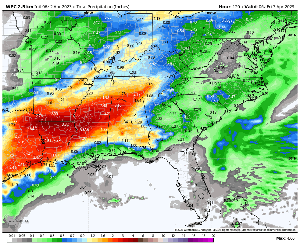
BOUNDARY STICKS AROUND: The clash zone that triggers Wednesday’s storms for Alabama will be an unwelcome visitor into the Easter weekend. Rain and storms will be a daily factor until a stronger system sweeps through around Monday the 10th. Rainfall amounts will approach 2-3 inches across the northern half of Alabama through the holiday weekend. Severe weather does not appear to be an issue.
A LATE FROST? James always warns that we shouldn’t plant until April 15th across North and Central Alabama. The GFS hints at a threat for the 13th and 14th. We will be watching.
BEACHCAST: A beautiful week is ahead for the splendid beaches of Alabama and Northwest Florida. Rain and storms are possible Monday and again Thursday, with isolated storms Friday and Saturday. Highs will be near 80F this week, with nighttime lows in the 60s. Water temperatures are in the upper 60s. The rip current index is low through the middle of the week.
Click here to see the Beach Forecast Center page.
NATIONALLY: Wildfires were sparked in the Shenandoah Valley of Virginia where strong winds and dry fuels caused issues.
DANCING WITH THE STATS: 87F yesterday at Galveston, Texas was a record for the date, smashing the old mark of 81F.
ADVERTISE WITH US: Deliver your message to a highly engaged audience by advertising on the AlabamaWX.com website. We have a lot of big plans for this year. Don’t miss out! We can customize a creative, flexible, and affordable package that will suit your organization’s needs. Contact me, Bill Murray, at (205) 687-0782 and let’s talk.
WEATHERBRAINS: This week, the panel will entertain some impressive meteorology students from the University of Oklahoma. Check out the show at www.WeatherBrains.com. You can also subscribe on iTunes. You can watch the show live on our new YouTube channel for the show.You will be able to see the show on the James Spann 24×7 weather channel on cable or directly over the air on the dot 2 feed.
ON THIS DATE IN 1974: National Weather Service offices were gearing up for a significant severe weather outbreak on the following day. Learn more in a special post on AlabamaWX.com. Follow my weather history tweets on Twitter. I am @wxhistorian at Twitter.com.
Category: Alabama's Weather, ALL POSTS, Severe Weather, Weather Xtreme Videos
About the Author (Author Profile)
Bill Murray is the President of The Weather Factory. He is the site's official weather historian and a weekend forecaster. He also anchors the site's severe weather coverage. Bill Murray is the proud holder of National Weather Association Digital Seal #0001 @wxhistorianSubscribe
If you enjoyed this article, subscribe to receive more just like it.


