Forecast Updated…No Real Changes
It has been a beautiful Easter Sunday across much of Alabama. Clouds were slow to clear in some area North and South, but all but the southern third of the state is now in on the sunshine. Temperatures are in the 60s across all of North and Central Alabama, but South Alabama is saying “what about me? with readings stuck in the 59s underneath the cloud deck.
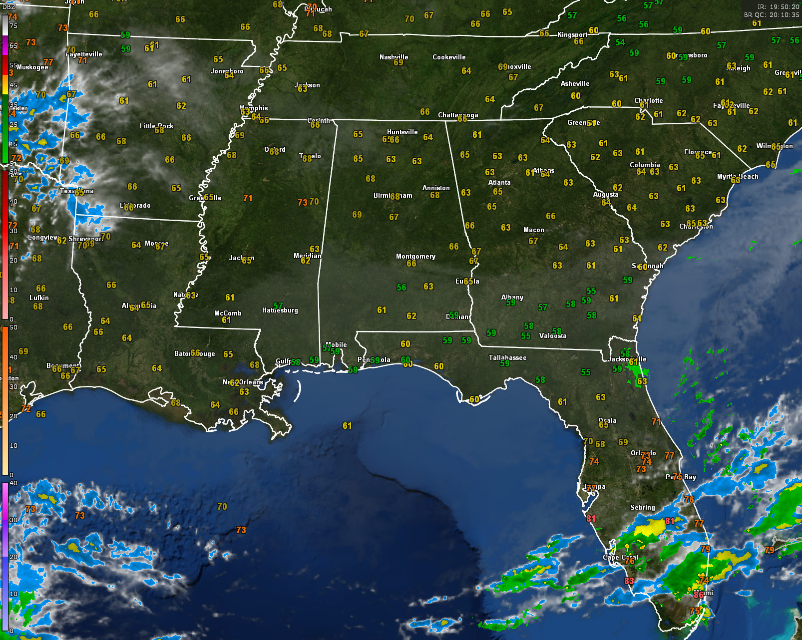
Regional radars show the nearest rain to our area are a few showers near Jacksonville, Florida.
Under fair skies overnight, lows will recede back into the 40s for the most part, with some upper 30s in the normally colder valleys of North Alabama.
Monday, Tuesday, and Wednesday will feature a good supply of sunshine each day with a gradual warming trend. Wednesday will be picture perfect with highs in the middle and upper 70s.
By Wednesday, a trough over the northwestern Gulf of Mexico will close off into a low pressure system. As it moves northeast, rain and thunderstorms will spread into Alabama on Thursday afternoon. Rain will continue through much of Friday. Severe weather doesn’t look likely Thursday over Alabama as instability values will be too low. Instability increases on Friday, but wind shear is pretty low.
Saturday will be a nice, warm day, with highs in the upper 70s and lower 80s. Rain and storms will return late Saturday night, continuing into Sunday. The rain will move out Sunday night. Cooler weather will follow, with highs during the early part of week two in the lower 60s and lows back in the 40s.
Category: Alabama's Weather, ALL POSTS
About the Author (Author Profile)
Bill Murray is the President of The Weather Factory. He is the site's official weather historian and a weekend forecaster. He also anchors the site's severe weather coverage. Bill Murray is the proud holder of National Weather Association Digital Seal #0001 @wxhistorianSubscribe
If you enjoyed this article, subscribe to receive more just like it.


