Severe Storms Building a Little Further West
This storm will be moving over lots of recreational areas and lakes.
Please be in a substantial structure as the dangerous storms approach.
There may be hail smaller than quarters and damaging wind gusts.
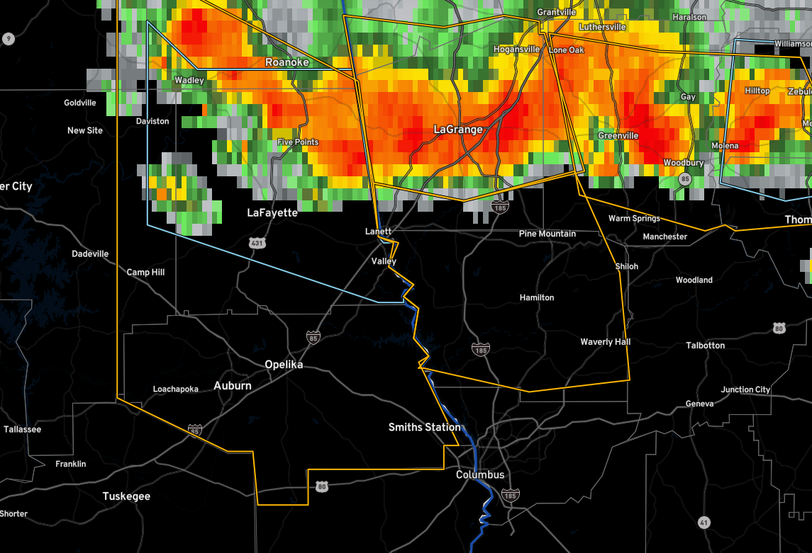
The National Weather Service in Birmingham has issued a
* Severe Thunderstorm Warning for…
Tallapoosa County in east central Alabama…
* Until 330 PM CDT.
* At 259 PM CDT, a severe thunderstorm was located near Jacksons’
Gap, or 7 miles north of Dadeville, moving south at 30 mph.
HAZARD…60 mph wind gusts and quarter size hail.
SOURCE…Radar indicated.
IMPACT…Hail damage to vehicles is expected. Expect wind damage
to roofs, siding, and trees.
* Locations impacted include…
Alexander City, Dadeville, Jacksons’ Gap, New Site, Hillabee Creek,
Eastern Lake Martin, Western Lake Martin, Northern Lake Martin,
Southern Lake Martin, Wind Creek State Park, Still Waters Resort,
Susannah Crossing, Maxwell Gunter Recreation Area, Blue Creek
Marina, Horseshoe Bend National Military Park, Hackneyville, Dare
Park, Eagle Creek, Horseshoe Bend and Yates Reservoir.
Category: Alabama's Weather, ALL POSTS, Severe Weather
About the Author (Author Profile)
Bill Murray is the President of The Weather Factory. He is the site's official weather historian and a weekend forecaster. He also anchors the site's severe weather coverage. Bill Murray is the proud holder of National Weather Association Digital Seal #0001 @wxhistorianSubscribe
If you enjoyed this article, subscribe to receive more just like it.


