Sunday Forecast Update: Some Rain, Cooler for the End of the Week
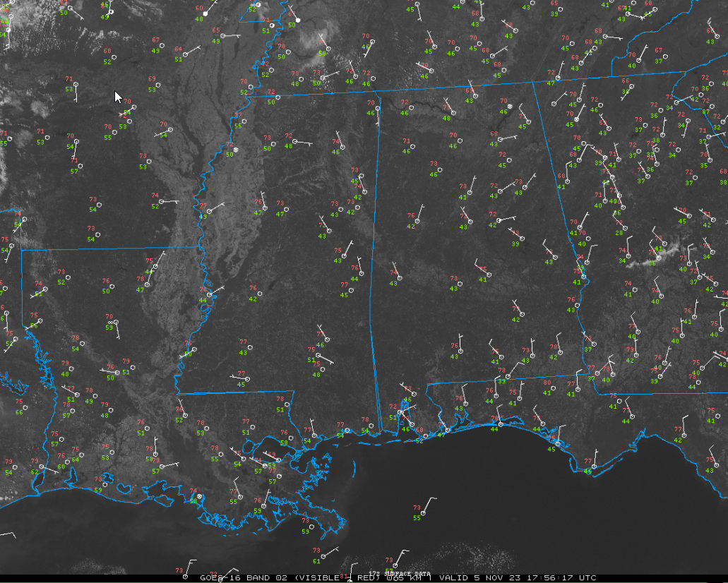
Here are lows across the area from this morning:
– 28: Scottsboro
– 31: Cullman Ag Stn
– 34: Courtland Airport, Russellville Airport, Valley Head Water Bd
– 35: Muscle Shoals TVA, Gadsden
– 36: Crossville Ag Stn, Fort Payne Airport
– 37: Anniston, Marion Junction, Meridianville Arpt, Pell City, Selma, Sylacauga
– 38: Eufaula
– 39: Alexander City, Decatur Airport, Demopolis, Winchester Airport
– 40: Bankhead Natl Forest, Montgomery
– 41: Huntsville Airport, Troy, Tuscaloosa, Vinemont-Cullman AP
– 42: Calera, Haleyville, Muscle Shoals Arpt
– 43: Albertville Airport, Bessemer, Birmingham Intl
ALABAMA SUNDAY: Clouds pushed through Alabama early this morning, is association with an upper level trough that developed right over the Southeastern U.S. That trough is pushing quickly out into the western Atlantic. Skies are expected to be clear the rest of the day as the shortwave trough has moved east, taking the high-level clouds with it. The ridge that had previously shifted west is now building back towards the east, promising an abundance of sunshine throughout the day. Temperatures will be warm, with highs reaching into the mid-70s to near 80°F. Light northerly surface winds in the afternoon will become calm by nightfall. Overnight lows will drop to the 40s, which is typical for this time of year.
FOR YOUR MONDAY: The area will continue to experience the influence of the ridge, with zonal mid-level flow and low-level flow turning southwesterly. This will contribute to unseasonably warm conditions, with temperatures expected to climb into the upper 70s to lower 80s. The skies will remain clear as high pressure builds, and winds will shift, becoming southwesterly. Relative humidity values will stay above critical red flag warning thresholds, although some areas could see levels drop to 25-30%.
A WARM TUESDAY: The 500 mb ridge over the Gulf of Mexico and southeastern CONUS will support continued warm conditions. With the persistent southwesterly low-level flow, afternoon highs are expected to be widespread in the lower 80s, with a few spots potentially reaching the mid-80s. The skies are predicted to be clear to fair, and the weather will remain dry.
MID 80S FOR MIDWEEK: The warmth persists into Wednesday, under the same ridge influence, with temperatures likely to reach the mid-80s in some areas. The skies will mostly be fair, and there is no significant chance of rain forecasted.
CHANGES AHEAD: On Thursday, the region will experience another warm afternoon just ahead of an advancing cold front. Despite height falls as a shortwave trough moves toward the Mississippi Valley, we should remain mostly dry. The best chances for remain will be limited to the Tennessee Valley counties of Alabama. The likelihood of rain becomes more pronounced on Friday, with a 60% chance of showers as the shortwave trough provides adequate lift for clouds and rainfall. This will bring a noticeable drop in temperatures, with highs expected in the upper 60s. The best chances for rain will be Friday afternoon and overnight. The latest model runs have trended wetter, with the GFS now predicting between one quarter and one half inch of rainfall across Central Alabama.
WEEKEND OUTLOOK: The rain will move out of eastern sections Saturday morning, with highs iin the mid-60s following the previous system’s passage. The skies will likely be characterized by mostly broken clouds, with a slight chance of rain showers lingering in the area.
VOODOO COUNTRY: The week two period starts off mild and dry for Alabama but becomes unsettled during the second half of the with a sharp cold front by the end of the period around the 21st, just in time for Thanksgiving.
TROPICS: The Atlantic is quiet for now with 97L moving into Central America yesterday. The GFS has become less bullish in this morning’s runs on the idea of a significant tropical storm or hurricane in the Caribbean in about two weeks. It’s still there, but is weaker and moves into Central America instead of retrograding eastward across the Caribbean.
Category: Alabama's Weather, ALL POSTS
About the Author (Author Profile)
Bill Murray is the President of The Weather Factory. He is the site's official weather historian and a weekend forecaster. He also anchors the site's severe weather coverage. Bill Murray is the proud holder of National Weather Association Digital Seal #0001 @wxhistorianSubscribe
If you enjoyed this article, subscribe to receive more just like it.


