Rain & Some Thunder Today; Dry Through Next Weekend
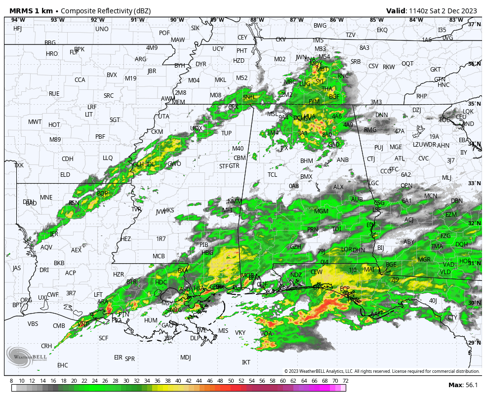
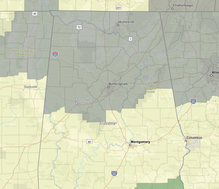
As of 5:40 am, we have rain falling over much of the northern-third of the state and the southern-third, while much of the central-third is mostly dry with only a few spots getting rain at the moment. A Dense Fog Advisory is up for all of North Alabama and for Bibb, Blount, Calhoun, Cherokee, Cleburne, Etowah, Fayette, Jefferson, Lamar, Marion, Pickens, Shelby, St. Clair, Talladega, Tuscaloosa, Walker, and Winston counties in Central Alabama until 9 am this morning.
For the rest of today, showers and a few embedded storms will continue to be likely through the daylight hours, with rain tapering off by the evening. However, a cold front will be approaching the area during the late-night and overnight hours, bringing an increase in shower coverage. No severe weather is expected today as the SPC has removed the Marginal Risk for Central Alabama. Highs will be mild, reaching the mid 60s to the lower 70s.
Some shower activity will continue into the morning hours on Sunday, but a cold front will move through Central Alabama, bringing much drier air and ending the rain chances from west to east. The rest of the day will be dry with decreasing clouds. Highs in the lower 60s to the lower 70s.
After that, ridging sets up over the southeast keeping us dry for the entire workweek ahead. We’ll start off with mostly sunny skies on Monday with highs in the mid 50s to the mid 60s. Sunny skies on Tuesday with highs in the upper 50s to the lower 60s. A trough will be swinging by to our north on Wednesday which will bring another shot of cooler air to the area, dropping our highs back into the upper 40s to the upper 50s. Temperatures rebound on Thursday as highs go back into the mid 50s to the lower 60s under sunny skies. And at the end of the forecast period on Friday, we’ll stay dry with mostly sunny skies and highs in the lower to mid 60s.
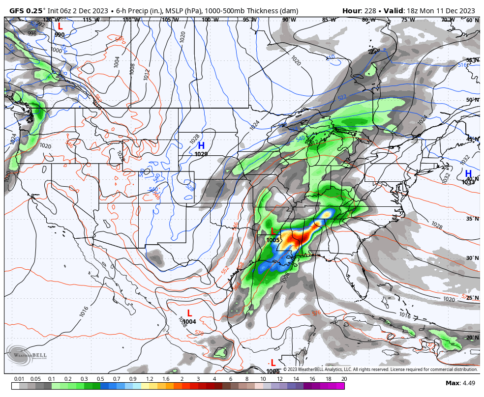
Looking out into Voodoo Land, the next rain chance looks to move into the area on Monday, December 11th, and it could be another big rainmaker, along with a few strong storms. While it is way too early to be sure on any of these details, it is on the board for now. But once again, this is out in Voodoo Land.
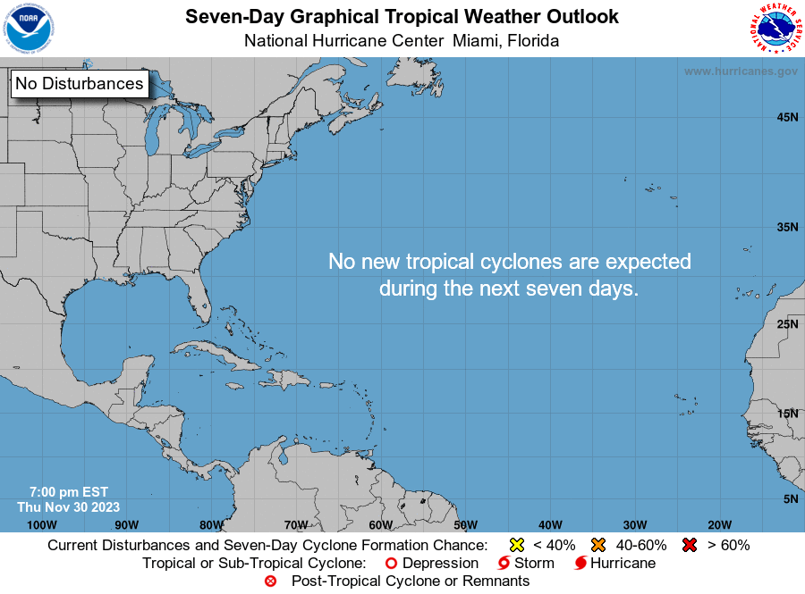
And the hurricane season is over for the Atlantic Basin, and all is quiet. This will be my final tropical update for my videos, unless something forms out there and bears watching.
Category: Alabama's Weather, ALL POSTS, Severe Weather, Tropical, Weather Xtreme Videos
About the Author (Author Profile)
Scott Martin is an operational meteorologist, professional graphic artist, musician, husband, and father. Not only is Scott a member of the National Weather Association, but he is also the Central Alabama Chapter of the NWA president. Scott is also the co-founder of Racecast Weather, which provides forecasts for many racing series across the USA. He also supplies forecasts for the BassMaster Elite Series events including the BassMaster Classic.Subscribe
If you enjoyed this article, subscribe to receive more just like it.


