Wednesday Morning Briefing: Trending Cooler, with a Bit of Precip by Friday
Just the mere mention of the S-word was always something to arouse the snow fan in me as a child, and I must admit, it’s still something that makes my pulse quicken. I know there are plenty of you out there, and a sizable number that are struck with dread. Anyway, the subject is on the table for Friday across parts of the area. Let’s investigate…
TUESDAY SLOW TO CLEAR: A thick layer of stratus clouds greeted the day across much of Central and North Alabama along with a little patchy fog. The clearing process was slow, but skies were at least partly cloudy across much of the area by late in the day. High temperatures were in the 50s in most spots, although Eufaula did manage 60F. Overnight readings were below freezing over and Northwest Alabama. The rest of the areas was in the middle and upper 30s.
FOR YOUR WEDNESDAY: A little patchy fog was once again able to form across parts of North and Central Alabama, but no serious visibility reductions were observed. You can look for a mix of clouds and sunshine through the day. That upper low will be over Central Missouri, but heading southeastward. Afternoon readings will range between 55-56F over the Tennessee Valley, with readings between 58-60F over Central Alabama. As a spoke of energy comes around the upper low to the northwest, there could be a few light rain showers over North Alabama tonight, mainly after midnight. Lows tonight will be in the upper 20s Northwest with lower and middle 30s elsewhere.
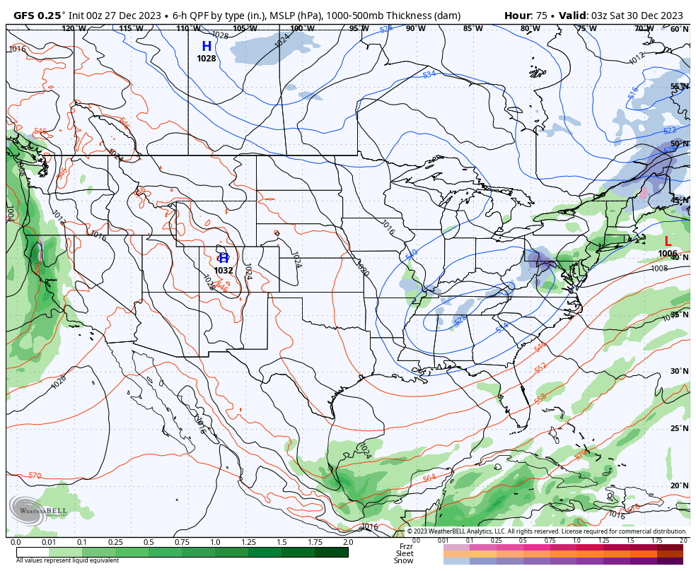
THURSDAY AND FRIDAY: Tomorrow will dawn in a mostly sunny state, but clouds will be thickening as we go through day in response to the approaching upper level low. By Friday we will be tracking light snow over Western and Middle Tennessee. The National Weather Service in Nashville is forecasting little to no accumulation for most places in Middle Tennessee, but does caution that the best chance for any accumulation will be across the Plateau. We will start out the day with clouds over North Alabama, and some sunshine elsewhere. Some light rain or perhaps a little light snow could edge down into the northern half of Alabama Friday afternoon and evening. With expected highs in the 40s, accumulations are not in the offing. But upper lows have a way making fools of forecasts, so rest assured we will be keeping an eye on it.
GOING BOWLING: Auburn is in Nashville for the Music City Bowl vs Maryland. The snow shouldn’t be a problem by Saturday and game day. But it will be chilly, with highs in the 40s. Alabama fans will deal with a few showers on Saturday, but they should be out of the area by game time New Year’s Eve. Game day highs will be in the middle 60s.
BEACHCAST: It appears that rain will not return to the beautiful beaches of Alabama and Northwest Florida until New Year’s Day. Now that doesn’t mean great weather, but there will be plenty of sunshine. Highs will be in the 50s and 60s, and lows will be in the 30s and 40s. Water temperatures are in the lower 60s. The rip current risk has eased a bit and will be low to moderate into the weekend.
Click here to see the Beach Forecast Center page.
DANCING WITH THE STATS: Records continue to pour in from Christmas Day across the Upper Midwest. 46F at Green Bay was a record warm low for the date by 6 degrees. Wausau WI broke their previous mark by 12 degrees with a reading of 47F.
ADVERTISE WITH US: Deliver your message to a highly engaged audience by advertising on the AlabamaWX.com website. The site enjoyed over 29 MILLION page views in the past 12 months. Don’t miss out! We can customize a creative, flexible, and affordable package that will suit your organization’s needs. Contact me, Bill Murray, at (205) 687-0782 and let’s talk.
WEATHERBRAINS: This week, the panel visited with long time WGN weatherman and legend Tom Skilling. It is a remarkable interview. Check out the show at www.WeatherBrains.com. You can also subscribe on iTunes. You can watch the show live at live.bigbrainsmedia.com or on James’ YouTube Channel You will be able to see the show on the James Spann 24×7 weather channel on cable or directly over the air on the dot 2 feed.
ON THIS DATE IN 1996: Dense fog in the Tampa Bay area caused a series of chain reaction accidents on the soaring Sunshine Skyway Bridge, involving 50 vehicles. One person was killed and 24 injured. The 1280-foot span across the mouth of Tampa Bay was closed in both directions. Follow my weather history tweets on Twitter. I am @wxhistorian at Twitter.com.
Category: Alabama's Weather, ALL POSTS, Winter Weather
About the Author (Author Profile)
Bill Murray is the President of The Weather Factory. He is the site's official weather historian and a weekend forecaster. He also anchors the site's severe weather coverage. Bill Murray is the proud holder of National Weather Association Digital Seal #0001 @wxhistorianSubscribe
If you enjoyed this article, subscribe to receive more just like it.


