Looks to Be Dry at Midday; Some Remain Cool, Some are Mild
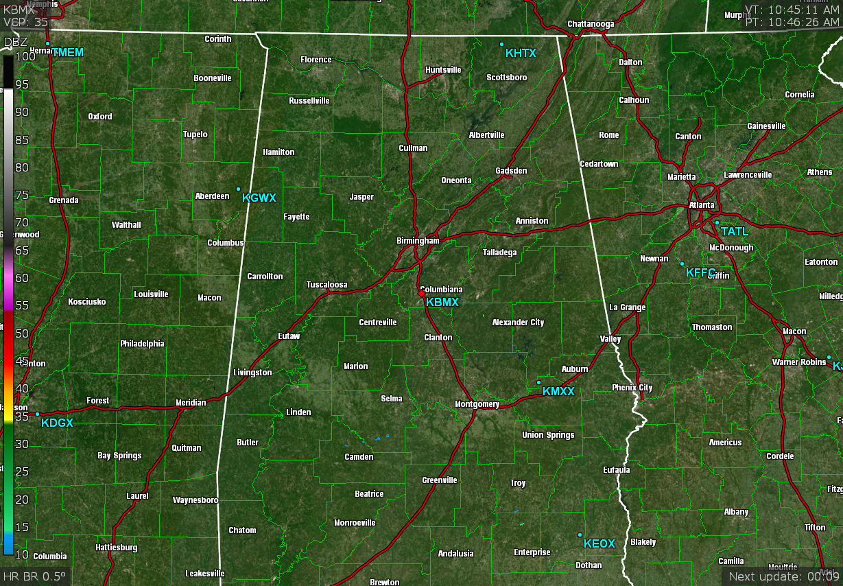
While rain looks to have moved out of the area, there are probably a few places who may still be receiving some drizzle or mist as we head up to the midday hour. 10 am temperatures were in the lower 40s to the mid 60s from north to south. The lucky location at this hour is Eufaula at 65 degrees, while Haleyville was at 43 degrees on the cool side of the spectrum. Birmingham was at 49 degrees.
While the rest of the day looks to be mainly dry across Central Alabama, there is a very small chance of a few wrap-around sprinkles or light showers that may invade the extreme northern parts of the area and up into the Tennessee Valley. No matter what, clouds will continue to hang with us. Highs in the upper 40s to the mid 60s. Lows will be in the mid 30s to the lower 40s.
Sunday will be a relatively nice day, with clouds slowly decreasing throughout the day. Temperatures will be more moderate across Central Alabama, as highs will be in the lower to mid 50s.
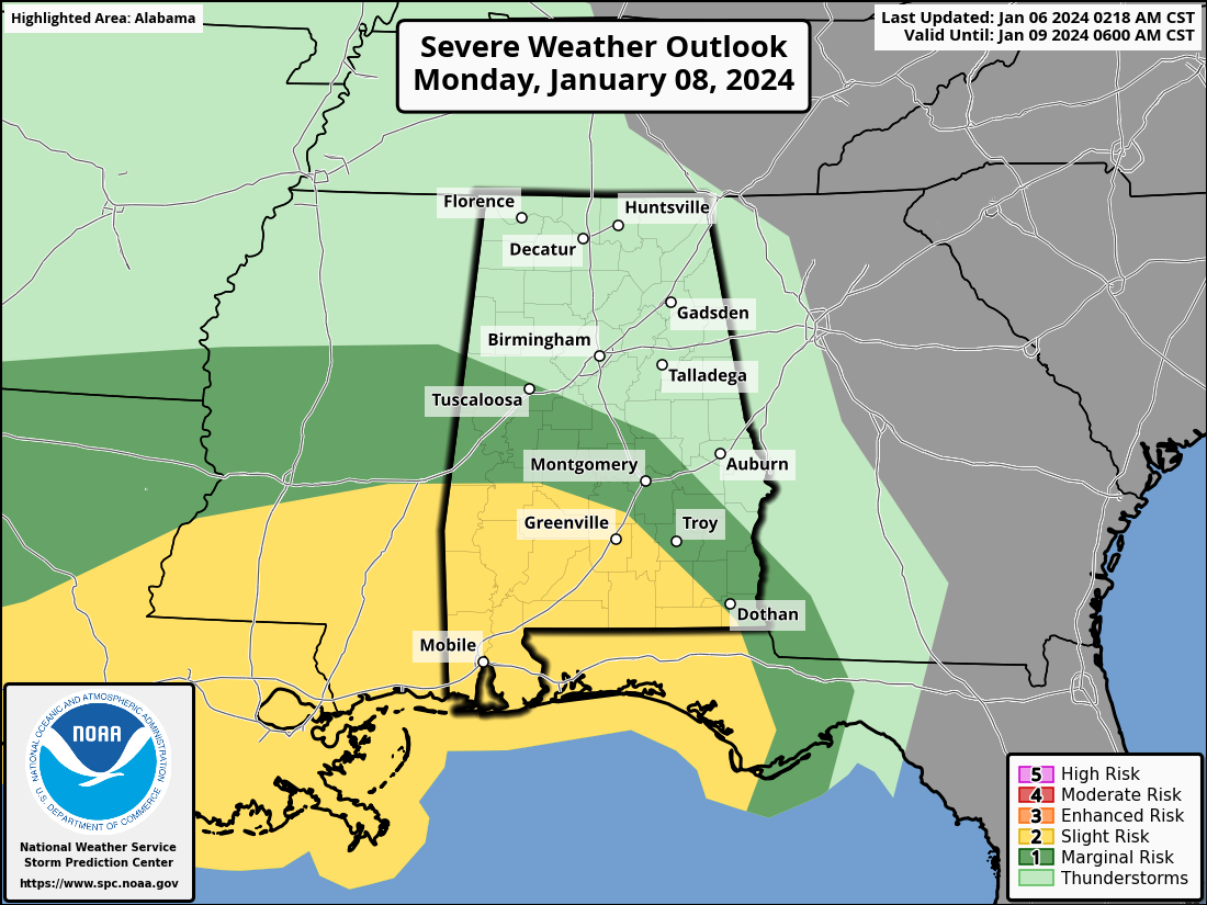
There continues to be a risk for stronger to severe weather on late Monday into the early morning hours on Tuesday, as a Marginal Risk is up for locations along and south of a line from Tuscaloosa to Thorsby to Eufaula. A Slight Risk is up from Dixons Mill to Fort Deposit to Goshen and points south. The main window for stronger to severe storms will be from 2am to 10am Tuesday morning, but a few stronger storms could form before that over the extreme southwestern parts of the area. While this looks to be mainly a damaging wind event, we simply cannot rule out a brief spin up tornado. We’ll keep an eye on the developing weather situation and to see if the threat will be pushed farther to the north.
Category: Alabama's Weather, ALL POSTS, Severe Weather
About the Author (Author Profile)
Scott Martin is an operational meteorologist, professional graphic artist, musician, husband, and father. Not only is Scott a member of the National Weather Association, but he is also the Central Alabama Chapter of the NWA president. Scott is also the co-founder of Racecast Weather, which provides forecasts for many racing series across the USA. He also supplies forecasts for the BassMaster Elite Series events including the BassMaster Classic.Subscribe
If you enjoyed this article, subscribe to receive more just like it.


