The Midday Report — A Clear & Pleasant Afternoon for Most
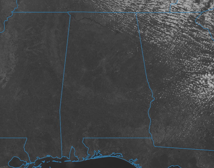
As of midday, we’re enjoying a pleasant mix of sun and scattered cumulus clouds across the region, with those clouds hanging around over the northeastern and eastern areas. Current temperatures range from the lower 60s to the lower 70s, with Haleyville recording the coolest spot at 60º and Troy registering the warmest at 73º. Birmingham sits at a comfortable 64º, near our projected high temperatures for the day. We also have some breezy conditions with a tightened pressure gradient over the southeast.
Looking ahead, expect skies to remain predominantly clear through the daylight hours, with any lingering cumulus clouds dissipating by evening. As the sun sets, temperatures will gradually decline, dropping to the upper 40s to lower 60s by 6 pm and further into the mid-30s to mid-40s by midnight. Overnight lows are forecasted to bottom out in the upper 20s to upper 30s, resulting in a chilly start to the day on Sunday.
However, Sunday promises a delightful rebound in temperatures following the brisk morning. Sunny skies will prevail, accompanied by less wind compared to today, fostering a more comfortable outdoor experience. Afternoon highs are expected to climb back into the lower 60s to lower 70s range, mirroring today’s warmth. It’s shaping up to be an ideal day for outdoor activities, with favorable conditions continuing into the evening.
Category: Alabama's Weather, ALL POSTS
About the Author (Author Profile)
Scott Martin is an operational meteorologist, professional graphic artist, musician, husband, and father. Not only is Scott a member of the National Weather Association, but he is also the Central Alabama Chapter of the NWA president. Scott is also the co-founder of Racecast Weather, which provides forecasts for many racing series across the USA. He also supplies forecasts for the BassMaster Elite Series events including the BassMaster Classic.Subscribe
If you enjoyed this article, subscribe to receive more just like it.


