

Midday Nowcast: Warm with Clouds and Sun
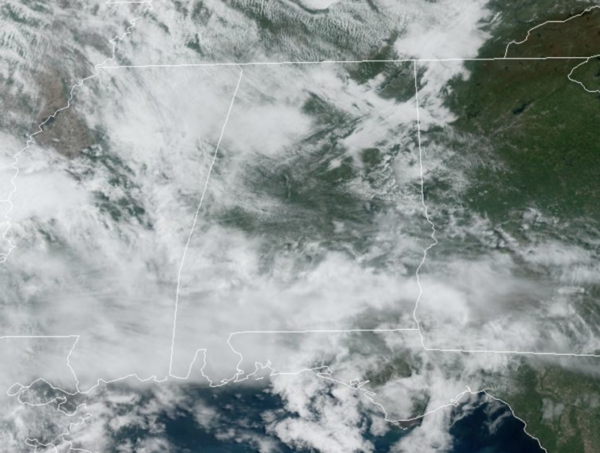
Another very warm April day across Alabama with temperatures surging into the mid and upper 80s. Showers and some storms are possible later today and into tonight ahead of a front that is slowly approaching the region. We note, the SPC again has much of North Alabama included in a Level 1 risk of severe storms, but again, we are not expecting much. If there are any strong storms, gusty winds and hail would be the main risk. Again, some spots will see some rain, but most locations look to remain dry.

BIRMINGHAM ALMANAC: For April 18th, the average high for Birmingham is 76° and the average low is 53°. The record high is 91° set in 2006, while the record low is 31° set in 1983. We average 0.16” of precipitation on this date, and the record value is 2.78” set in 1943.
FINALLY FRIDAY: Tomorrow will feature a mostly cloudy sky with a high in the low 80s; a few scattered showers or storms are possible with the approach of the surface front, but no wash-out. Again, the SPC has much of North Alabama in a Level 1 risk of severe storms due to the potential of gusty winds and hail.

WEEKEND WEATHER: The front will sag southward through the state over the weekend and Saturday will remain mostly cloudy with scattered showers possible at anytime. There could be a rumble of thunder, but no risk of severe storms, and rain amounts should be mostly 1/2 inch or less. On Sunday, a low pressure rides up and along the front, bringing more widespread rain to the state, still it won’t rain all day, but it will be a much cooler day with temperatures struggling to climb out of the 50s.
RACE WEEKEND: A few passing showers are likely Saturday at the Talladedga Superspeedway, but there is a decent chance they get the races in with a high in the 70s. The weather Sunday will be more problematic with rain expected to be more widespread. Still, not raining all day, and there is a chance they get the Geico 500 in, but also understand there is a chance it will have to be run Monday, when dry weather returns to Alabama.
Sunday will be sharply cooler with temperatures hovering in the mid to upper 50s through the day with a cool north breeze along with the rain.
NEXT WEEK: The first half of the week will be dry with a warming trend as temperatures return to the 70s Monday and Tuesday. Rain and storms will return to the state for the second half of the week, but at this time, this doesn’t look to be a severe weather setup for Alabama. Temperatures for the latter half of the week will return to the 80s.
BEACH FORECAST CENTER: Get the latest weather and rip current forecasts for the beaches from Fort Morgan to Panama City on our Beach Forecast Center page. There, you can select the forecast of the region that you are interested in visiting.
WORLD TEMPERATURE EXTREMES: Over the last 24 hours, the highest observation outside the U.S. was 123.4F at Bamako / Senou, Mali. The lowest observation was -98.7F at Vostok, Antarctica.
CONTIGUOUS TEMPERATURE EXTREMES: Over the last 24 hours, the highest observation was 99F at Rio Grande Village, TX. The lowest observation was 1F Canyon Village, WY.
Category: Alabama's Weather, ALL POSTS
About the Author (Author Profile)
Macon, Georgia Television Chief Meteorologist, Birmingham native, and long time Contributor on AlabamaWX. Stormchaser. I did not choose Weather, it chose Me. College Football Fanatic. @Ryan_StinnetSubscribe
If you enjoyed this article, subscribe to receive more just like it.


