Is it our turn? Sunday 1 pm update
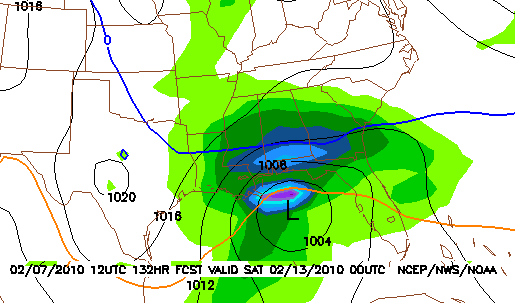
I started this blog thread Saturday afternoon, looking at the possibiity of a snowstorm in Alabama Friday. The latest major models (GFS, European, Canadian) all indicate that a Gulf low will form, bringing precipitation to Alabama on Friday. They also indicate that it will be cold enough for snow, at least as far south as BHM, and maybe into south Alabama.
It looks like the cold air will be in place, it may just be a question this time of how far north the snow makes it. It could be that Huntsville gets nothing out of this one, and Montgomery gets accumulating snow. The event is still 5 days away, and we will know more as it comes in range of the short-range models on Tuesday. The models could change several times between now and Friday, but this is the best chance we’ve seen for at least some snow in Alabama since the forecast will all missed back in early January.
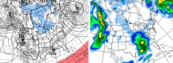
The system that will bring rain to Alabama on Tuesday will likely bring another winter storm to parts of Oklahoma, Arkansas, and Kentucky, and could produce another major snowstorm in the mid-Atlantic (Virginia, Maryland, Pennsylvania), only days after a 1-3 foot snow event the last 2 days!
Category: Uncategorized


