Showers and Storms May Be Done for the Night
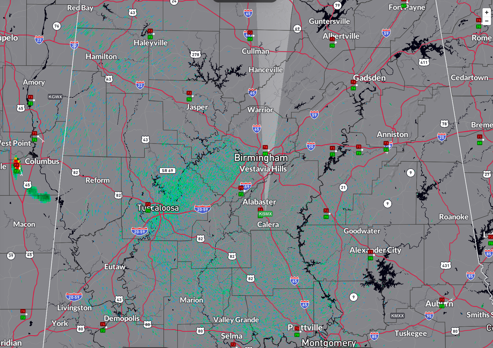
The showers and storms over West Central Alabama have weakened.
High-resolution modeling indicates no more will form before 6-7 a.m., and then just over the extreme northeastern corner of the state.
Sunday will be dry until the evening. Then showers and storms will start to increase just to our west and gradually will move into Alabama, especially after midnight.
The storms will reach to Quad Cities of Northwest Alabama by 1 a.m., Huntsville by 2:30 a.m., Cullman by 3:30, Jasper by 4 a.m., Gadsden and Birmingham by 4:30 a.m.
They will reach Anniston by 5:30 a.m. and Montgomery by 8:30 a.m. They should fire again over extreme Southeast Alabama after noon, becoming strong to severe.
More storms will form between I-20 and I-85 around 3 p.m. and they will intensify also as they push into South Alabama.
Storms could be strong to severe tomorrow night with damaging winds as the main threat, some hail, and a small chance of a tornado.
Category: Alabama's Weather, ALL POSTS, Severe Weather
About the Author (Author Profile)
Bill Murray is the President of The Weather Factory. He is the site's official weather historian and a weekend forecaster. He also anchors the site's severe weather coverage. Bill Murray is the proud holder of National Weather Association Digital Seal #0001 @wxhistorianSubscribe
If you enjoyed this article, subscribe to receive more just like it.


