Snow analysis – 1250 pm
**WINTER STORM WARNING/WINTER ADVISORY IN EFFECT**
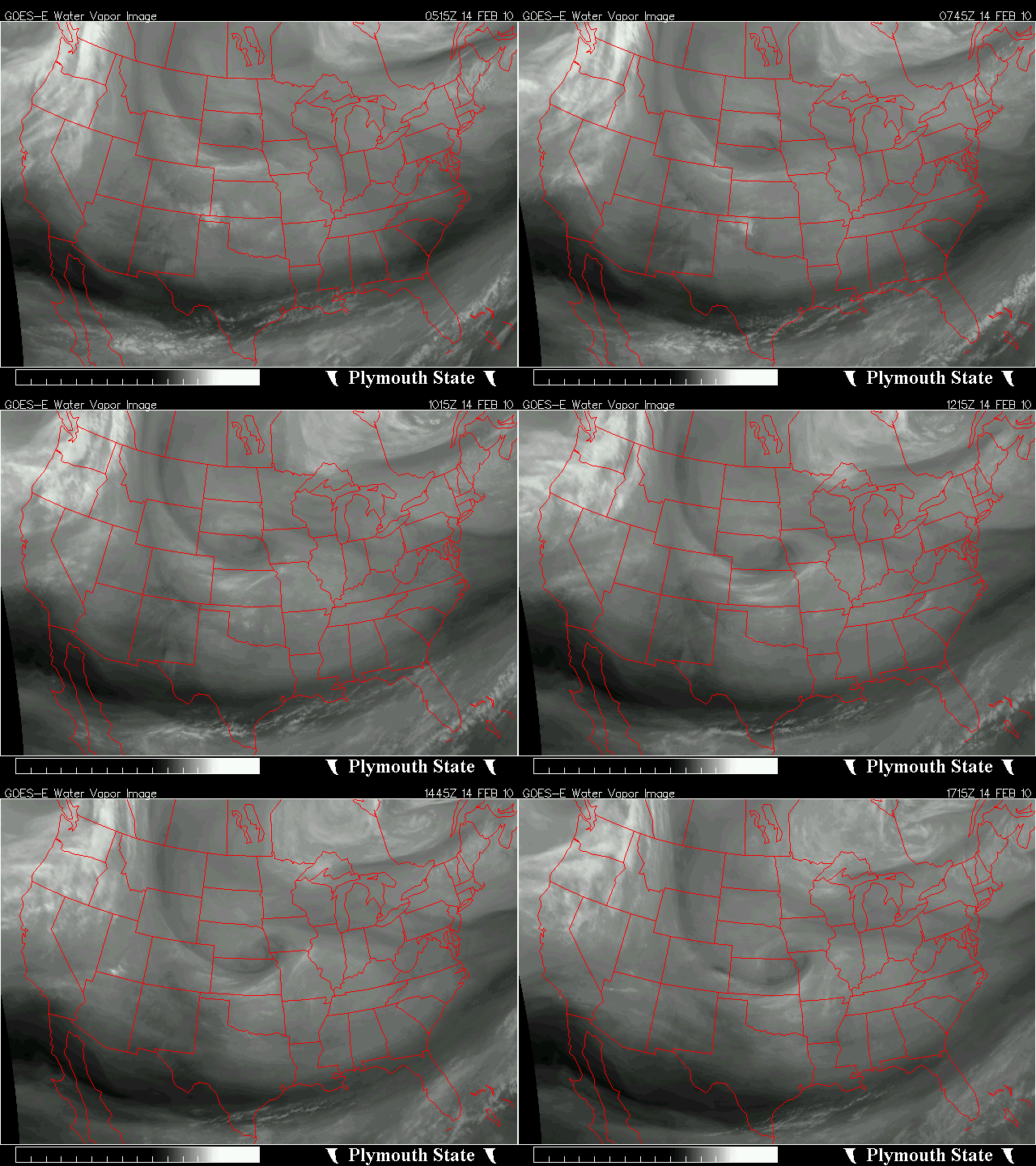
A vigorous upper-level disturbance, now near KC, is moving toward Alabama, and will arrive late tonight and tomorrow morning. It will bring another round of snow, and more cold air.
It is already producing some rain and snow in Oklahoma and Arkansas, and as it gets into the more humid atmosphere in the SE US, precipitation should increase. It should start out as rain, in NW Alabama this evening, and in BHM by midnight, then changeover to snow quickly. The system is bringing cold air from the north, and snow melting aloft initially will cool the atmosphere, and so will evaporation of that rain. The snow could become heavy between 3 am and 7 am, and 1-3″ is expected, with some places, especially higher elevations in NE Alabama, getting more. Specific snow amounts in BHM from each model:
Canadian: 2″
European: 1.5″
NAM: 2″
GFS: 3″
This is different than the last system with a Gulf low. This one will produce snow associated with lifting ahead of the spin in the atmosphere (see bottom of https://www.alabamawx.com/?p=26640).
The warm surface temperatures initially will cause the snow to melt, but as more snow falls, we do expect accumulations and travel problems tomorrow morning.
Category: Uncategorized


