Snow Update – 505 pm
**WINTER STORM WARNING IN EFFECT**
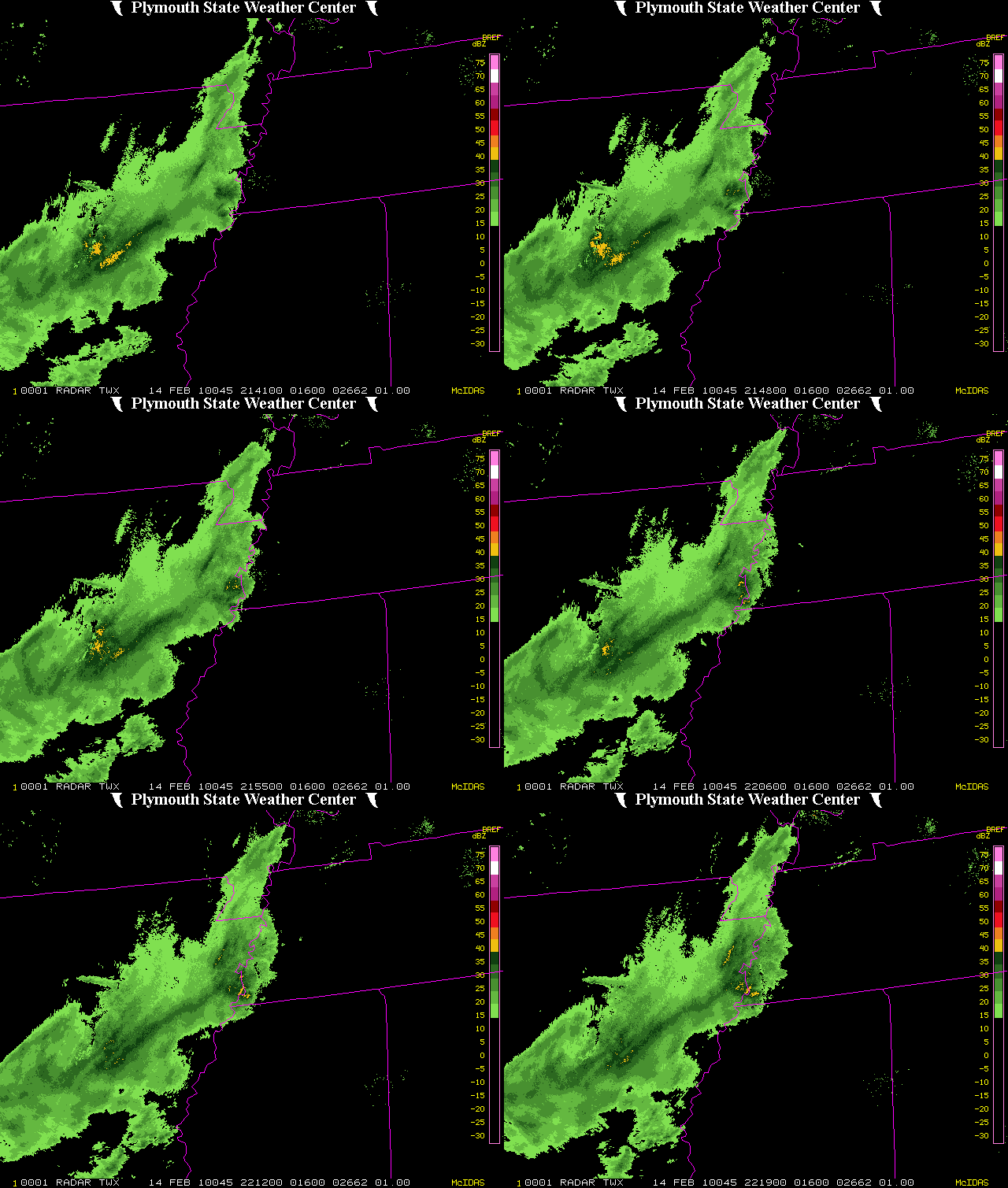
The upper-level low is now diving SE through Missouri. UAH has actually deployed our mobile radar and profiler in Paducah, KY to measure the upper low. Precip is already increasing south of the low in OK, AR, TN, and KY, and will continue to increase this evening due to the intense lift associated with the approaching upper low.
Precipitation should begin in NW Alabama this evening, and in BHM by 1 am. The models look fairly wet, but since at low-levels temperatures will be above freezing, the precip will start as rain. It will take an hour or two of snow melting aloft and north winds to cool things off enough for snow to start falling, but a cold ground will allow rapid accumulation once the heavy snow begins to fall after 2 am. We expect average accumulations of 2-3″ over north and central Alabama, with a few spots, mainly the higher elevation areas in NE Alabama, getting up to 6″.
The snow will be heavy at times, and road problems will be likely before daybreak. Travel may become very hazardous in the Birmingham area even before rush hour, and with temperatures holding in the lower 30s tomorrow, roads could stay icy.
One other thing…with the very cold air aloft, there could be a flash or two of lightning with the heavier snow showers, so if you hear thunder, don’t be surprised. Thundersnow is very rare, especially in Alabama, with the only times I know of being April 1987 and March 1993. We’ll see. This will also be the first time since 1945 that Birmingham has received two separate 1″ snow events within 5 days of each other. The extreme winter moves along.
Category: Uncategorized


