Greetings from St. Marks: A Few Mid-Afternoon Notes on Debby
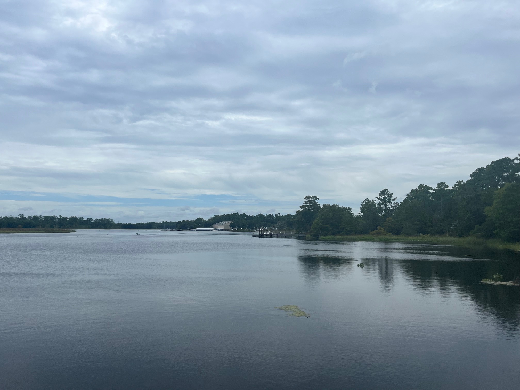
Calm before the storm on a sultry Sunday in St. Marks, Florida on the Wakulla River.
Greetings from St. Marks, FL, a place steeped in hurricane lore as an endpoint for hurricane watches and warnings forever. I will be visiting Horseshoe Beach, Leaton Beach, Steinhatchee, and Cedar Key over the next few hours before setting up shop for the night in Perry, Florida. Perry should have hurricane force gusts in the morning.
No trip to Florida down I-65 is complete without a stop of delicious Chilton County peaches.
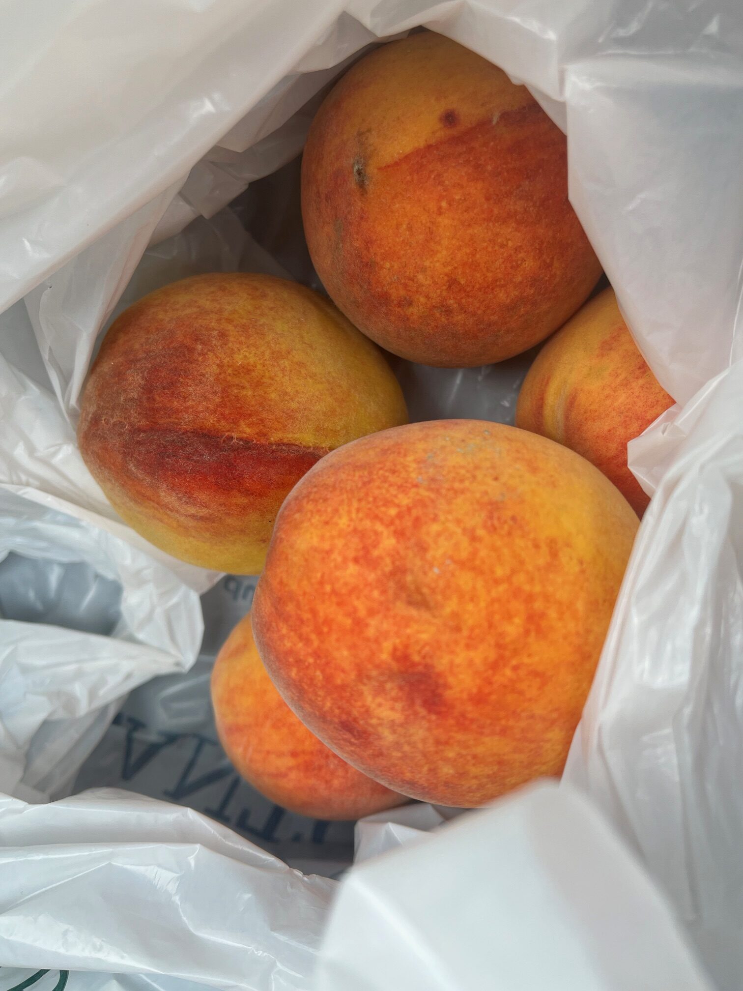
I picked up a half dozen of them and a bag of spectacular plums.
Debby continues to slowly intensify. The infrared satellite imagery continues to show convection concentrating near the center. An intensifying hurricane is a different monster. They can mix strong winds to the ground more efficiently. We will be watching for lightning in the eyewall once it develops.
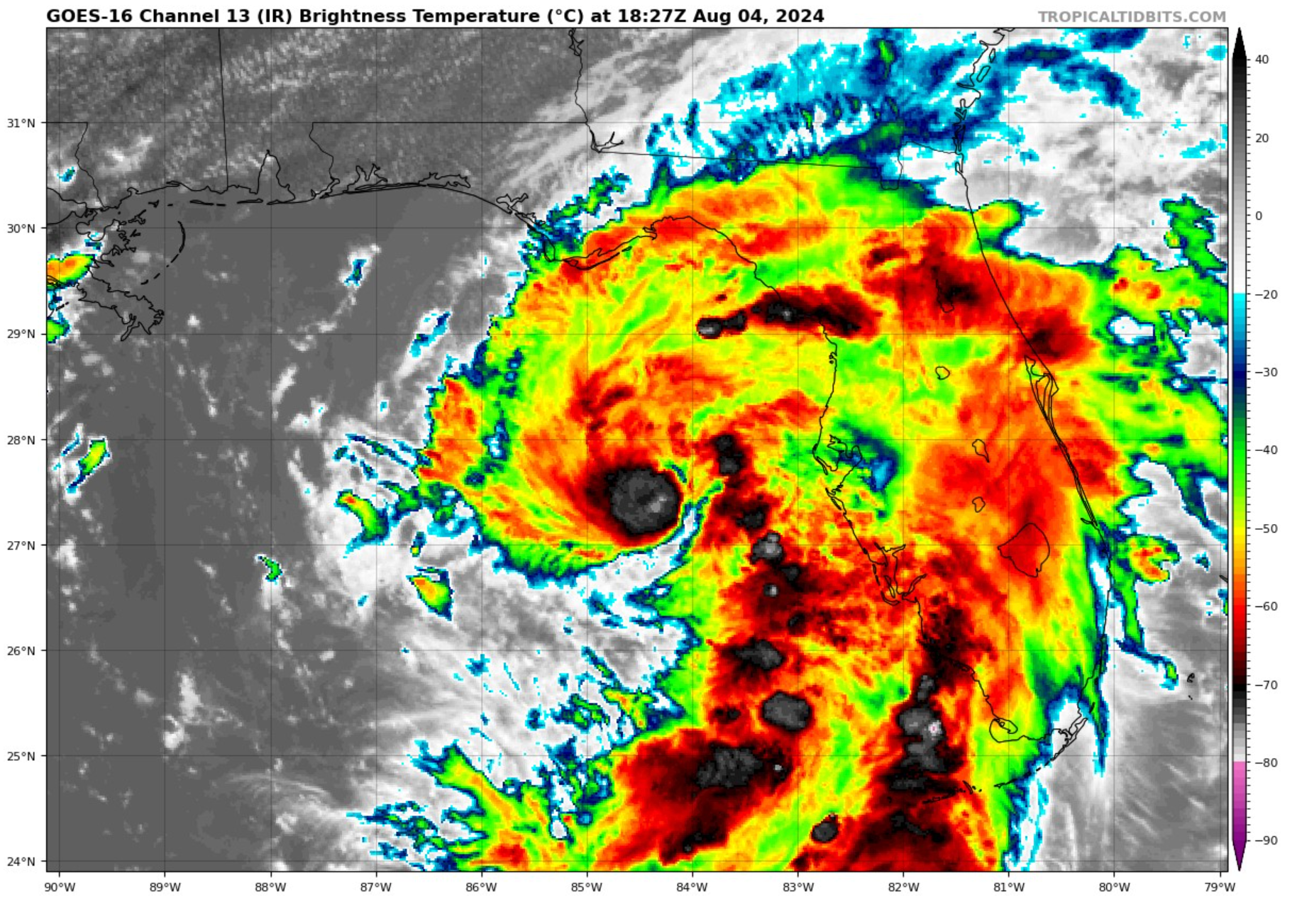
Debby should become a hurricane this evening.
The Tampa radar can see the center clearly as it is well defined now. This is a key to intensification.

Mark Sudduth has cameras in Keaton Beach and Cedar Key, Florida. If you are not one of his Insiders. Please consider joining him in his work.
The Air force plane has finished its mission and is heading back to Keesler. The NOAA plane is still gathering data. We should get another fix soon.
I have seen numerous boats being pulled out of the water and trailered north away from the water. I also hav seen power crews already heading south into the area, including one from Indiana.
It was nice to see Mike Seidel back on the air with Fox Weather.
It is a nice day back home over North and much of Central Alabama. Showers and storms are developing from Tallapoosa County back through Elmoore County on into Southwest Alabama around Clarke, Washington, and Monroe counties. The northwestern half of the area should remain dry the rest of the day.
Next advisory is at 4 p.m.
Category: Alabama's Weather, ALL POSTS, Tropical
About the Author (Author Profile)
Bill Murray is the President of The Weather Factory. He is the site's official weather historian and a weekend forecaster. He also anchors the site's severe weather coverage. Bill Murray is the proud holder of National Weather Association Digital Seal #0001 @wxhistorianSubscribe
If you enjoyed this article, subscribe to receive more just like it.


