Alabama Impacts from Francine
Hurricane Francine will weaken rapidly after moving onshore this evening in Louisiana. The center of the decaying tropical cyclone will turn north and move up through Central Mississippi, passing near Jackson MS around sunrise.
This will give Alabama three main impacts: rain, wind, and brief tornadoes. Wind and rain will slowly increase through the day today and tonight, with the highest impacts Thursday.
The risks have increased slightly, so let’s walk through them:
RAINFALL:
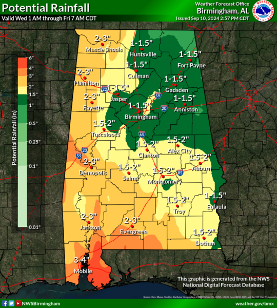
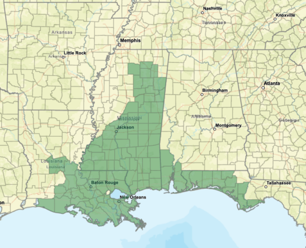
Heaviest rain from the storm will be over western and southern Alabama. Amount will not be heavy enough to create flooding except over Southwest Alabama, where the NWS in Mobile has flash flood watches in effect for Mobile, Baldwin, and Washington counties.
However, that same central corridor where the models suggest the greatest potential for tornadic development could also experience training storms on Thursday, leading to rainfall totals exceeding 4 inches and an increased risk of flash flooding.
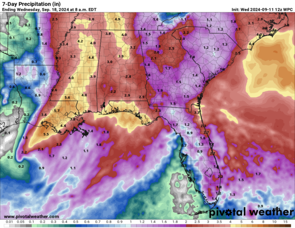
Rain chances will remain high through the weekend and amounts by the end of the weekend will be higher still.
Here is the WPC QPF through the weekend:
We will take everything we can get…just not too much at one time!
WIND:
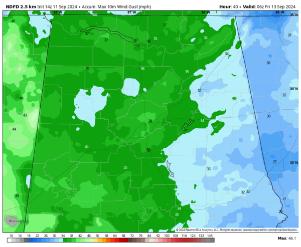
Gusts will be near 40 mph in many spots and a little higher in some. Winds will start gusting to 25 mph in the Birmingham area this evening. Here are predicted max gusts starting around sunset tonight and continuing through the day tomorrow.
TORNADOES:
As the low pressure system lifts northward during the overnight and during the day tomorrow, an area of instability, low level shear, and surface convergence will lift northward across nearly all of Alabama, triggering a threat for spin-up tornadoes. It looks like there will be a little more energy available for tornadoes to develop. The models continue to indicate that the central part of the state will have the most favorable conditions and the highest tornado threat.
The timing will be related to the feeder bands, so we will know more as we get closer.
We have a history of seeing prolific numbers of tornadoes in Alabama from systems like this and tomorrow is likely to be a busy day. The good news is that fairly extensive clouds should help keep the air a little more stable.
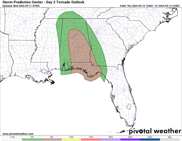
Here is the SPC Day Two Risk Outlook:
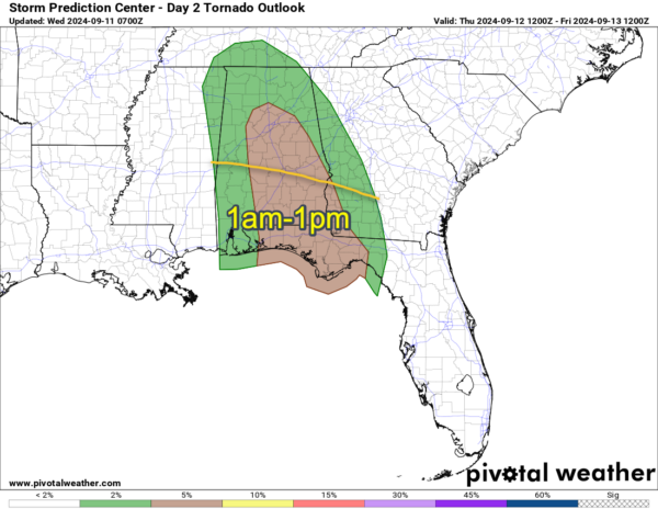
During the morning, the risk will be over South Alabama.
By afternoon and evening, the risk will pivot north and east:
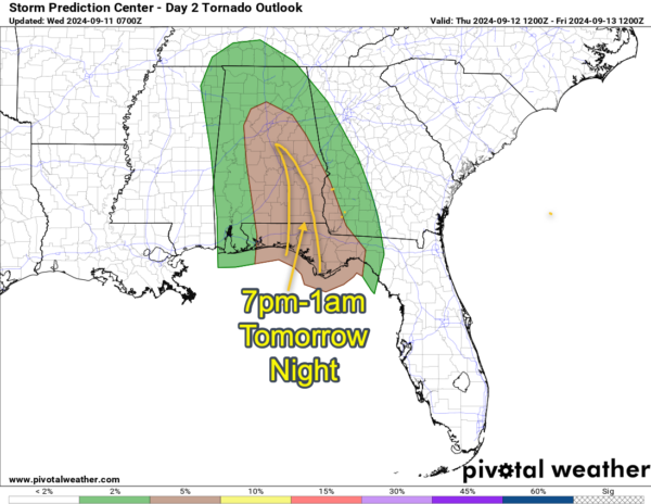
Then during the evening, the threat should slowly lessen with time:
Category: Alabama's Weather, ALL POSTS, Severe Weather, Tropical

