The Alabama Weather Situation Just Before 5 a.m.
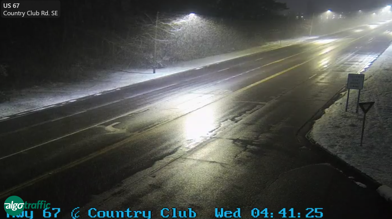
Here are road conditions this hour in Florence:
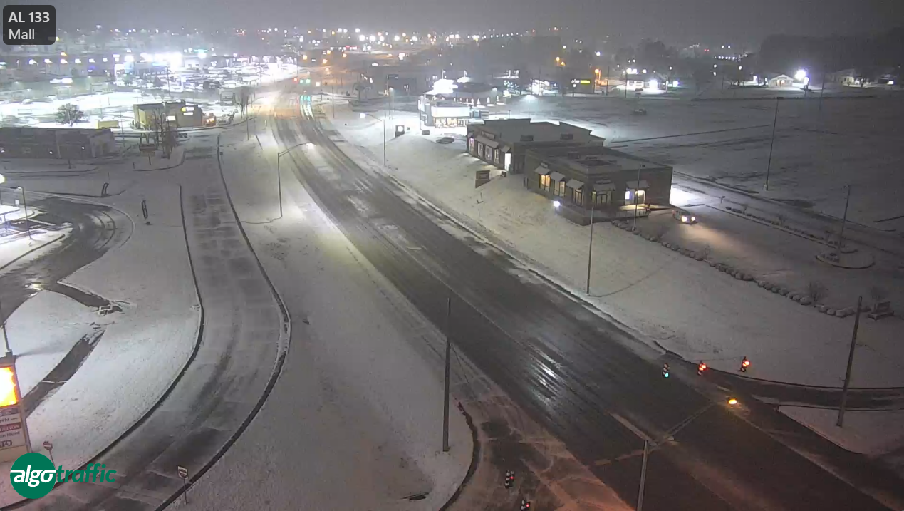
And in Decatur:
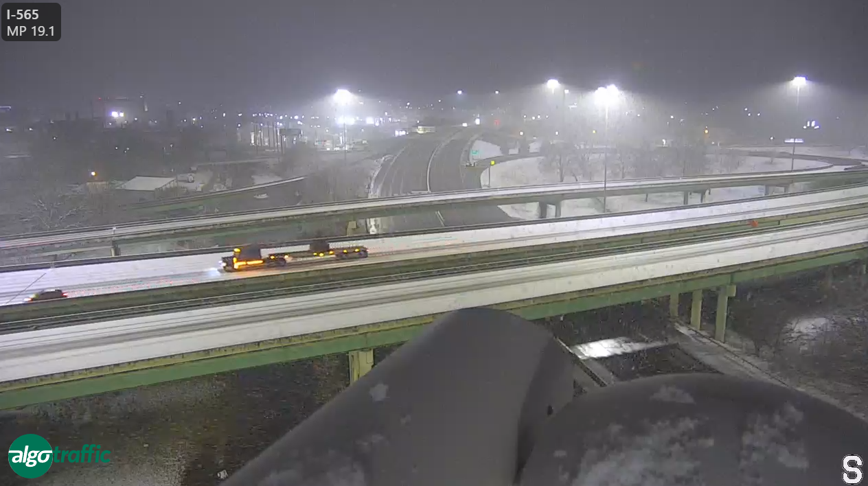
Roads are snow covered in Huntsville. Here is I-565:
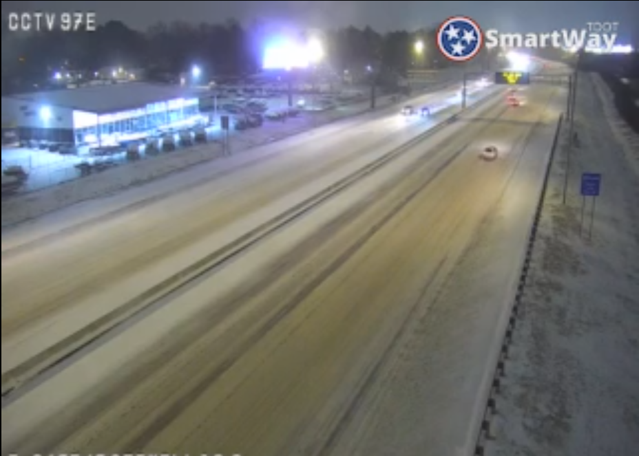
In western Tennessee, snow fall was heavier, with 2.2 inches in Germantown. Here is I-240 near Getwell in Memphis where traffic is moving cautiously.
WINTRY MIX EARLY, THEN QUICK EXIT
A mix of wintry precipitation is ongoing early this morning across portions of North and Central Alabama, particularly near and north of Highway 278. Reports of light snow and a mix of freezing rain and sleet have been noted in northwestern Alabama, where surface temperatures are just below freezing. As precipitation moves eastward, brief periods of frozen precipitation are possible as far south as Lamar, Fayette, and Walker counties before transitioning to cold rain. Accumulations will remain light, with minor travel impacts possible through the morning commute. So far, roads are just wet Precipitation should exit the region by midday.
COLD BLAST SETS IN THIS AFTERNOON
As the precipitation clears, Arctic air will surge southward, reinforcing much colder conditions through the afternoon. A brisk north wind of 10-15 mph, with higher gusts, will drive temperatures downward. Highs will struggle to reach the mid-30s to lower 40s, and wind chills will make it feel even colder. Residents should prepare for a sharp drop in temperatures this evening, with frigid overnight lows in the mid-teens to lower 20s across much of the area.
BITTERLY COLD NIGHTS AHEAD
A strong Arctic high-pressure system building into the region will bring the coldest temperatures of the season tonight and Thursday night. Lows will plunge into the lower to mid-teens across North Alabama, with some locations near the Tennessee border potentially dipping into the single digits. Wind chills will be a major concern, falling into the zero to 10-degree range overnight into Thursday morning. A Cold Weather Advisory remains in effect for the entire area due to the combination of bitter wind chills and the potential for frozen pipes.
PIPE-BURSTING COLD EXPECTED
Highs on Thursday will struggle to reach the freezing mark, even with some afternoon sunshine. Overnight lows into Friday morning will again drop into the low to mid-teens across North and Central Alabama, increasing the risk of frozen and burst pipes. Residents should take precautions by insulating exposed pipes, allowing faucets to drip, and ensuring pets and vulnerable individuals have adequate warmth.
SLOW REBOUND INTO THE WEEKEND
Temperatures will begin a gradual climb by Friday, but it will remain chilly. Highs will reach the upper 30s to lower 40s, still well below seasonal averages. Lows Friday night will settle near 20 degrees, but a more noticeable warming trend is expected over the weekend as the Arctic high shifts east. Until then, North and Central Alabama will remain in the grip of this deep winter chill.
Category: Alabama's Weather, ALL POSTS, Social Media, Winter Weather
About the Author (Author Profile)
Bill Murray is the President of The Weather Factory. He is the site's official weather historian and a weekend forecaster. He also anchors the site's severe weather coverage. Bill Murray is the proud holder of National Weather Association Digital Seal #0001 @wxhistorianSubscribe
If you enjoyed this article, subscribe to receive more just like it.


