Midday Nowcast: Warmer With More Clouds Today; Rain Returns This Weekend
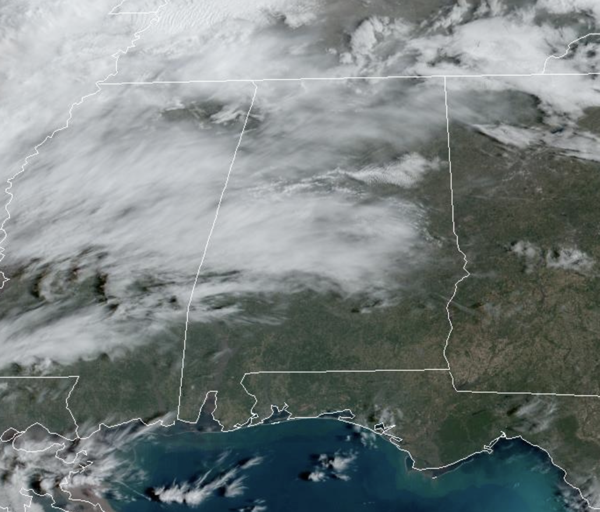
Today is warmer with a mix of sun and clouds; highs are in the upper 60s and low 70s. Clouds continue to increase tonight, and with the clouds in place, lows will hold in the lower 50s in most locations. A few isolated showers are possible tonight, but not likely.
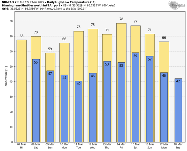
BIRMINGHAM ALMANAC: For March 7th, the average high for Birmingham is 65° and the average low is 43°. The record high is 84° set in 1956, while the record low is 12° set in 1899. We average 0.19” of precipitation on this date and the record value is 1.55” set in 2005.
WEEKEND WEATHER: The forecast will be unsettled and wet at times with occasional periods of rain. A few showers are possible through the day tomorrow, but it looks like the more widespread rain will arrive tomorrow night, lasting into Sunday. Rain amounts will be in the one-half to one inch range, and for most of Alabama this is just a rain event, with some rumbles of thunder possible.
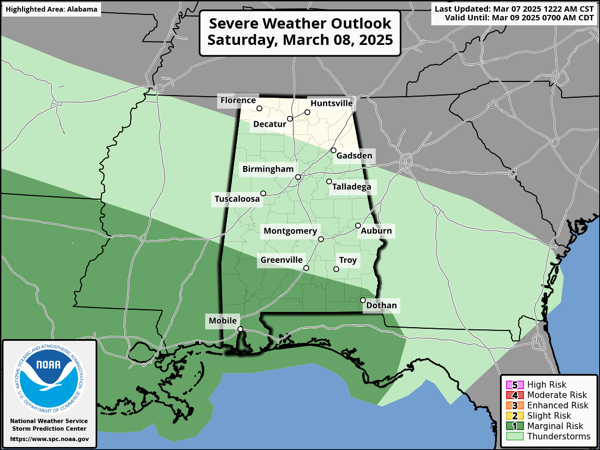
However, the Storm Prediction Center (SPC) maintains a low end “marginal risk” of severe thunderstorms for the southwest corner and southern of Alabama tomorrow afternoon/night. A few storms down that way could produce some gusty winds; an isolated, brief tornado will be possible as well. Highs this weekend will be in the upper 60s and lower 70s tomorrow, followed by upper 50s and lower 60s on Sunday.
SPRING FORWARD: Daylight Saving Time returns this weekend as we spring forward. We lose an hour of sleep as the clocks move forward one hour overnight Saturday. Sunset time Saturday evening in Birmingham will be at 5:49PM CST, but on Sunday evening it will be 6:50PM CDT. It is a great time to check those smoke, carbon monoxide detectors, and weather radios are working and have fresh batteries in them.
NEXT WEEK: Most of next week looks dry, however, a showers are possible late Wednesday night into Thursday. Temperatures rise into the 70s over the latter half of the week as we inch closer to spring. Next weekend, another potent storm system will move through the Deep South, and this looks to bring some strong storms and could bring our next threat of severe weather. Despite what you are seeing on social media, it is way too early to even worry about the system, because no one knows potential threat and impacts, just something we will keep an eye on over the next week.
WORLD TEMPERATURE EXTREMES: Over the last 24 hours, the highest observation outside the U.S. was 108.0F at Vioolsdrif, South Africa. The lowest observation was -78.0F at Vostok, Antarctica.
CONTIGUOUS TEMPERATURE EXTREMES: Over the last 24 hours, the highest observation was 93F at Rio Grande Village, TX. The lowest observation was -6F at Mount Washington, NH.
Category: Alabama's Weather, ALL POSTS, Social Media
About the Author (Author Profile)
Macon, Georgia Television Chief Meteorologist, Birmingham native, and long time Contributor on AlabamaWX. Stormchaser. I did not choose Weather, it chose Me. College Football Fanatic. @Ryan_StinnetSubscribe
If you enjoyed this article, subscribe to receive more just like it.


