Falling Temps/Sleet/Snow
As expected, temperatures have fallen into the 40s across the western two-thirds of the state this afternoon in the wake of the cold front that passed through. In fact, Haleyville up in Winston County has slipped to 39 degrees at 1:00; Birmingham was at 46, while Tuscaloosa reported 44.
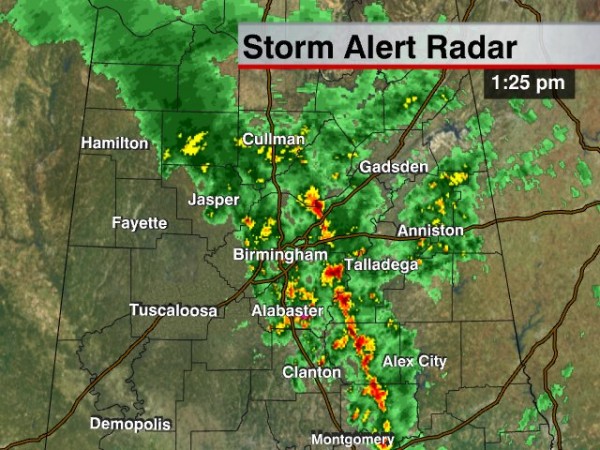
A band heavier showers continues along the front, east of Birmingham:
We should note we have had reports of sleet mixed in with the rain along the back edge; the air aloft is very cold this afternoon. And, this late report just came in from our Skywatcher in Bear Creek, Alan Hemlsey:
“Rainfall total 0.56 inches. There are actually a few SNOW FLAKES mixed in. 38/37 (38 degrees with a dewpoint of 37)”
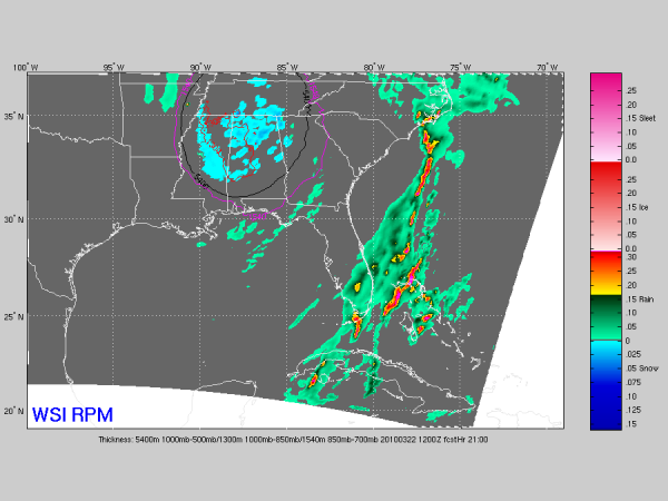
SNOW? The RPM still shows snow over the northern half of Alabama late tonight and tomorrow morning… the output below is valid at 7:00 a.m. tomorrow…
With warm soil temperatures, and surface temperatures a little above freezing, significant accumulation still looks unlikely. However, check out these images from WeatherBrains associate Kevin Selle out in the Dallas/Fort Worth area, who writes:
“Thirty-two degrees as I write this. I’ll resist the urge to call it “March Madness”. Reports of 2-4” north side of DFW with unconfirmed reports of 5-6” in a few spots.” And, I have thrown a few images from Randy Hutcheson in the D/FW area, who writes: “More snow. The highest total I have seen is 8 inches in Frisco….Colin County. Frisco is a suburb north of Dallas and north east of the airport”
Stay tuned for updates through the day and tonight…
Category: Uncategorized


