Storms Across North Central Alabama
UPDATE 9:00 AM
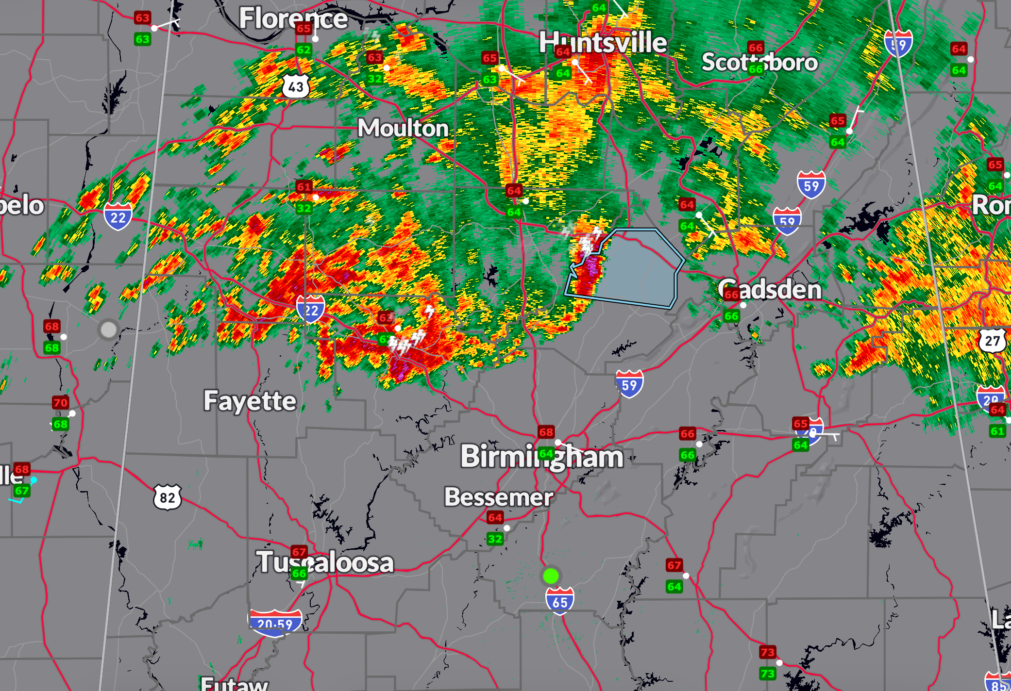
A strong thunderstorm is moving east across east-central Walker and north-central Jefferson counties this morning, currently near Cordova and tracking toward areas like Dora, Sumiton, and Adamsville. The storm is capable of producing wind gusts up to 40 mph and pea-sized hail, which could knock down tree limbs and cause minor damage to vegetation. Residents along the U.S. 78 corridor and nearby communities should be prepared for brief heavy rain, frequent lightning, and gusty winds through 9:45 AM.
I added the flood advisories to the new graphic…
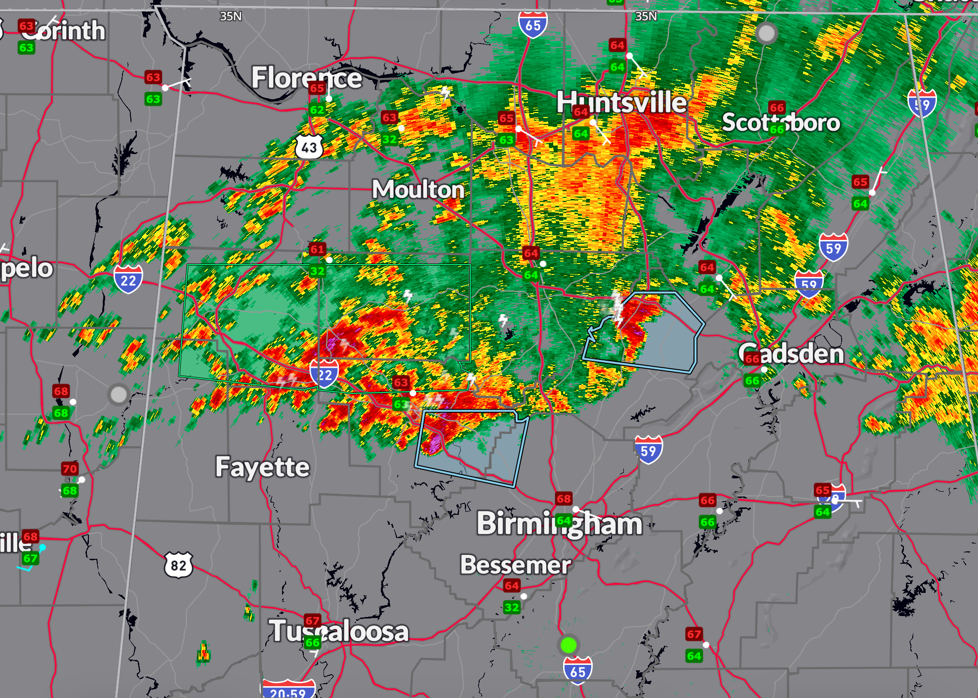
As of 8:50 AM, a broken line of thunderstorms stretched from southern Marion County through Walker County and into Blount County, where a *Significant Weather Advisory* is in effect for Blount through 9:30 AM. A cluster of strong storms near Blountsville is moving east at 20 mph and may bring wind gusts up to 40 mph and pea-sized hail. Areas like Snead, Altoona, and Oneonta are in the path of this activity. Frequent lightning is also a concern—seek shelter indoors if you’re in the vicinity of these storms.
Elsewhere, scattered storms continue across northeast Alabama near the Tennessee line, particularly around areas southeast of Tims Ford Lake to Pickwick Lake. One stronger cell briefly exhibited bowing characteristics but appears to be elevated. Though severe weather is not widespread, rainfall rates in these areas are high, and with moisture-rich air in place (precipitable water values above 1.25 inches), there is a risk for locally excessive rainfall and isolated flash flooding, especially if storms train over the same locations.
Farther south and east, thunderstorms are developing over east-central Alabama as well—primarily across Cherokee, Calhoun, and Cleburne counties. These storms are forming along a weak boundary and may continue to strengthen with daytime heating. CAPE values are expected to climb to around 2000 J/kg this afternoon, supporting additional development through the day. While organized severe weather is not expected, isolated damaging wind gusts and small hail will be possible with the stronger storms. Keep an eye on the sky if you’re out and about today, and remember: lightning can strike well away from the rain.
Category: Alabama's Weather, ALL POSTS, Social Media
About the Author (Author Profile)
Bill Murray is the President of The Weather Factory. He is the site's official weather historian and a weekend forecaster. He also anchors the site's severe weather coverage. Bill Murray is the proud holder of National Weather Association Digital Seal #0001 @wxhistorianSubscribe
If you enjoyed this article, subscribe to receive more just like it.


