New Day One Has Parts of Alabama in Marginal Risk
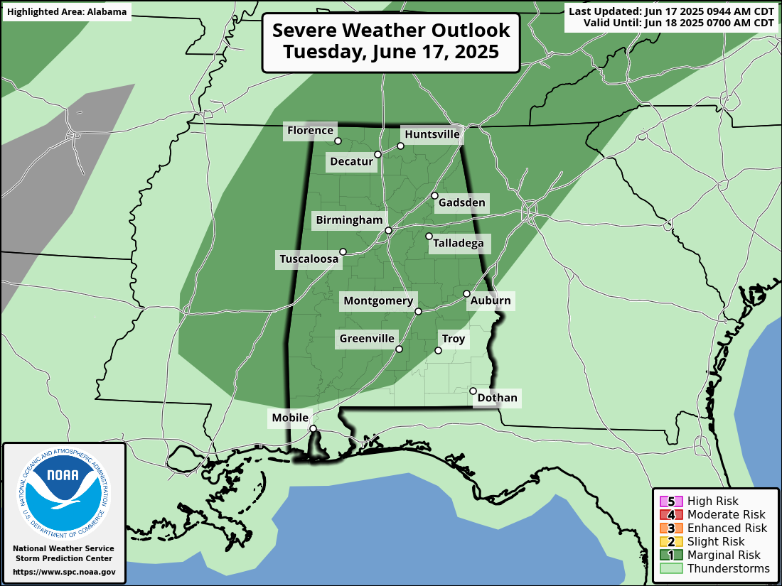
The Storm Prediction Center has placed parts of north and central Alabama under a Marginal Risk (level 1 of 5) for severe weather this afternoon and evening. Thunderstorms will begin developing around midday and increase in coverage through the afternoon as a weak upper trough interacts with high moisture and instability. The main threat will be isolated damaging wind gusts up to 40–60 mph, along with frequent lightning and heavy rainfall that could lead to localized flooding.
ATMOSPHERIC SETUP
A deep layer of moisture is present across Alabama today, with precipitable water values at or near record levels for mid-June. As sunshine increases, surface-based CAPE values are expected to reach 2,500–3,000 J/kg by peak heating. Although upper-level wind support is modest, low-level southwesterly flow will increase to 30–35 knots, supporting pulse to loosely organized storm clusters that may occasionally become strong or marginally severe.
TIMING AND COVERAGE
The greatest threat for strong to severe storms will occur between 12 PM and 8 PM, primarily across northwest, north-central, and parts of west-central Alabama. Activity will taper off this evening with the loss of heating, though a few showers may linger overnight. Temperatures will remain in the mid to upper 80s this afternoon due to cloud cover and convection, with overnight lows holding in the upper 60s to around 70.
THURSDAY OUTLOOK
Looking ahead, the SPC has also introduced a Marginal Risk for Thursday afternoon and evening for northeast and east-central Alabama. This will be another day with scattered strong to marginally severe storms possible, bringing threats of damaging winds and isolated large hail. We’ll continue to monitor updated guidance and provide additional outlooks and briefings as the week unfolds.
Category: Alabama's Weather, ALL POSTS, Severe Weather, Social Media
About the Author (Author Profile)
Bill Murray is the President of The Weather Factory. He is the site's official weather historian and a weekend forecaster. He also anchors the site's severe weather coverage. Bill Murray is the proud holder of National Weather Association Digital Seal #0001 @wxhistorianSubscribe
If you enjoyed this article, subscribe to receive more just like it.


