Severe Thunderstorm Warning for East Central DeKalb County Until 11:45 AM
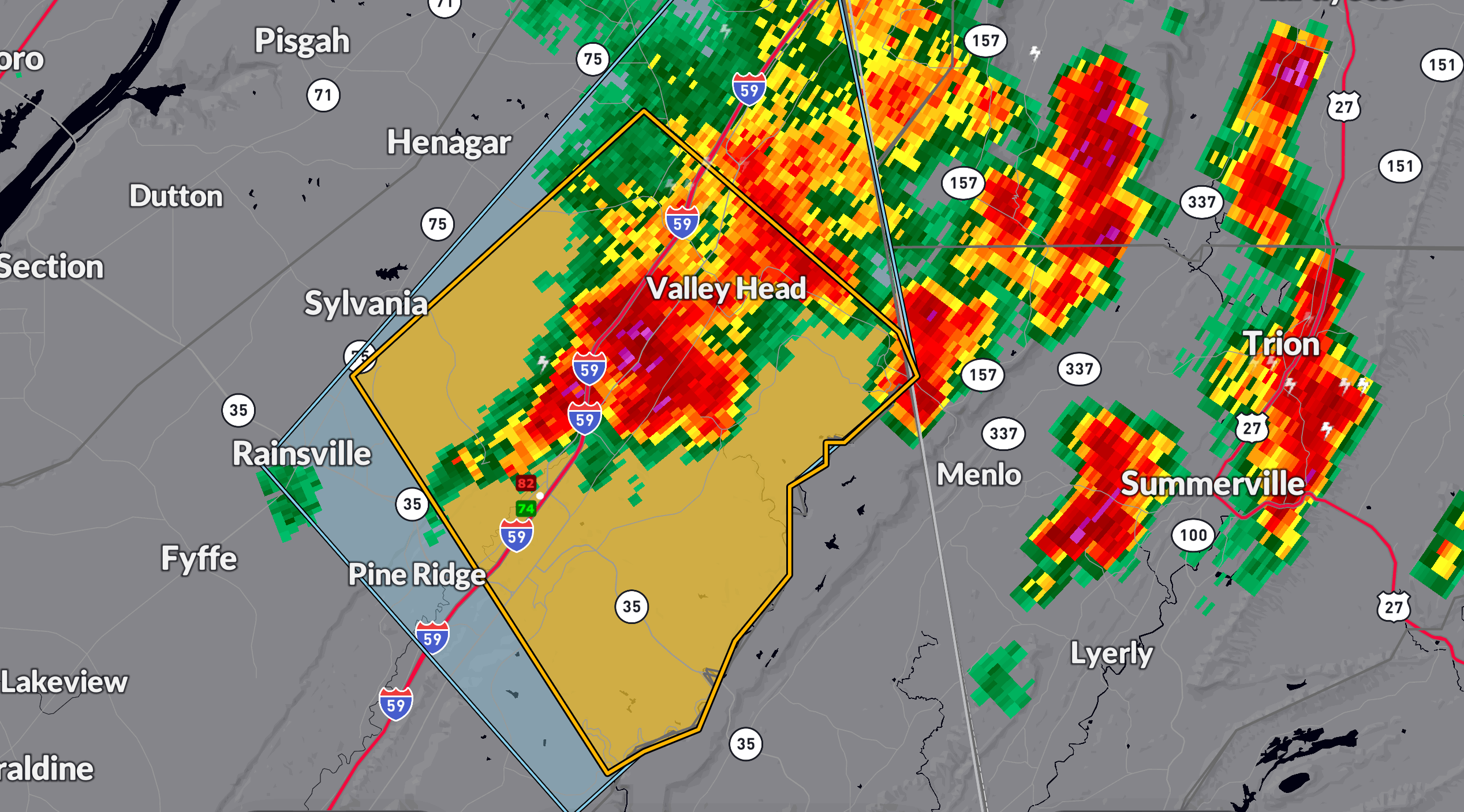
A Severe Thunderstorm Warning is in effect until 11:45 AM CDT for east central DeKalb County, including Fort Payne, Rainsville, and Mentone. At 10:50 AM, radar indicated a severe thunderstorm near Fort Payne moving southeast at 10 mph. Hazards with this storm include quarter-size hail and wind gusts up to 60 mph.
Impacts could include hail damage to vehicles and wind damage to roofs, siding, and trees. Continuous lightning is also occurring with this storm — remember, if you can hear thunder, you’re close enough to be struck.
Take shelter indoors in an interior room on the lowest floor of your home or building.
Elswhere, thunderstorms are scattered across the northern third of the state. They are strongest from Limestone and Lawrence Counties down through Franklin, Winston, Marion, Lamar, and Fayette counties.
Category: Alabama's Weather, ALL POSTS, Severe Weather, Social Media
About the Author (Author Profile)
Bill Murray is the President of The Weather Factory. He is the site's official weather historian and a weekend forecaster. He also anchors the site's severe weather coverage. Bill Murray is the proud holder of National Weather Association Digital Seal #0001 @wxhistorianSubscribe
If you enjoyed this article, subscribe to receive more just like it.


