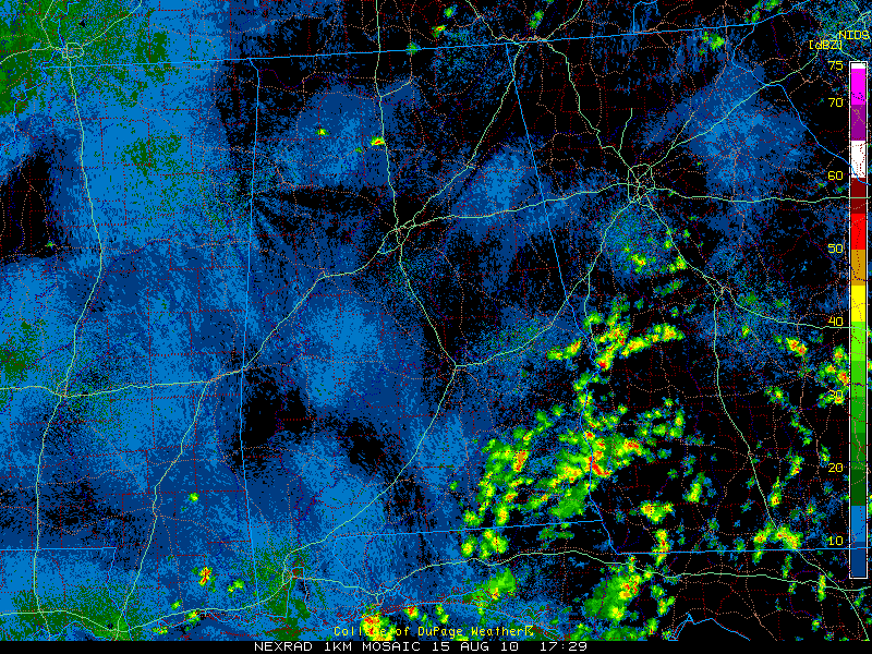
Alabama Update 12:30 p.m.
LATE NOTE AT 1:24 PM: The SPC has issued a mesoscale discussion for the northwestern part of Alabama saying that storms are expected to intensify over this region in the next couple of hours, with heavy rain and isolated damaging wind gusts possible. Be alert.
A couple of showers were starting to break out over Northwest and North Central Alabama at this hour. They were located over southern Lawrence, Winston and Cullman Counties. They were moving south southeast.
The rest of Alabama is clear this hour except for the southeastern corner of the state, which is close to the remnant low of TD Five, which is located over southwestern Georgia as it moves back toward the rejuvenating waters of the Gulf of Mexico. Look for it to be a story this week as it skirts of the northern Gulf Coast heading westward. There is a chance that it will regain tropical cyclone status this week before it moves back inland over Louisiana. Hopefully it will move back up into Mississippi and give us better rain chances later in the week ahead.
For this afternoon, hot and humid conditions will continue with highs topping out in the lower and middle 90s. Rain coverage should be about 40%. Be alert if any storms head your way, as they will contain lots of lightning and torrential rains.
Category: Uncategorized


