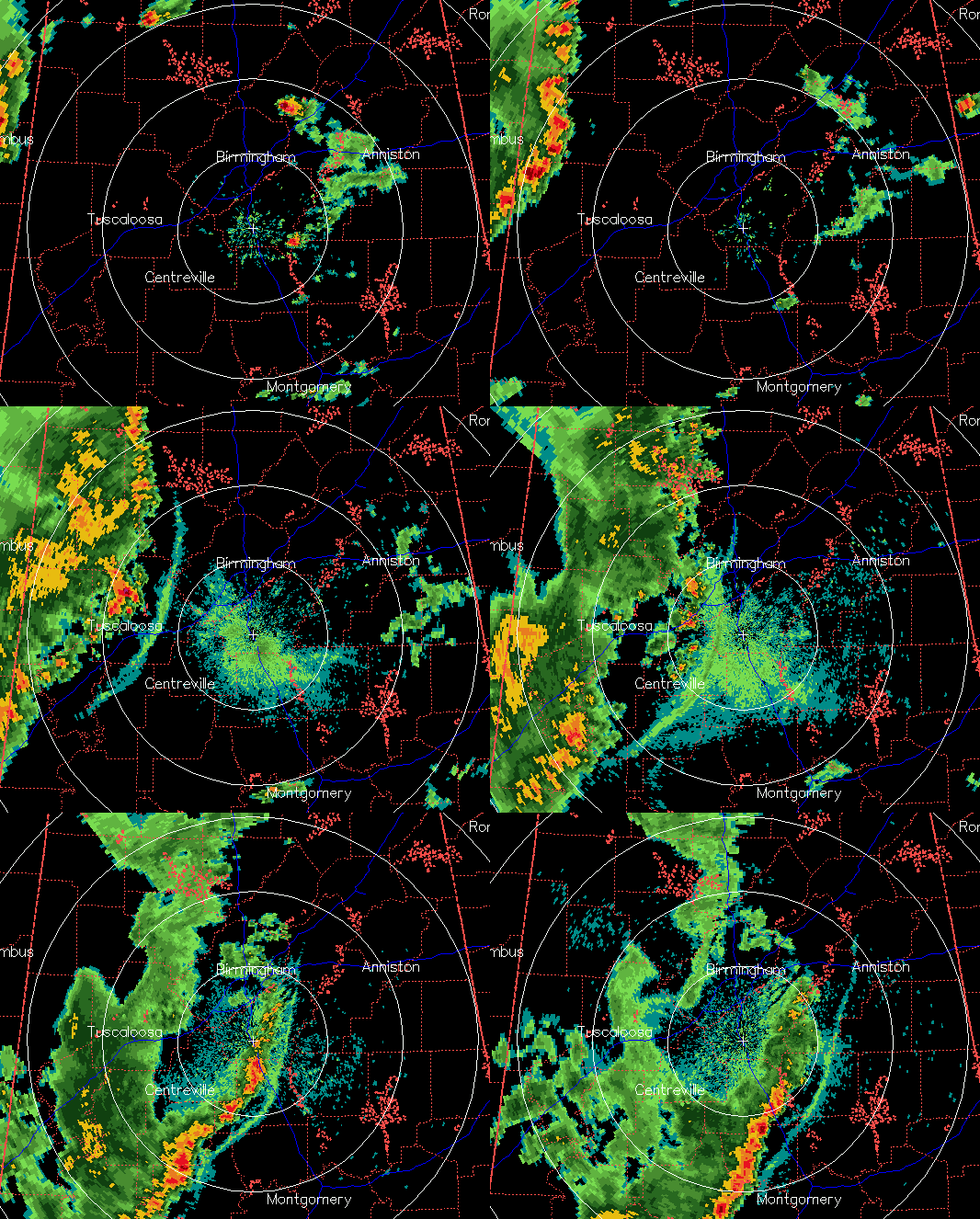
Gravity wave, inflow jet
James wanted to know if I would comment on a strange radar echo in Walker and Tuscaloosa Counties near the end of the above loop. Notice the drying of the rain. This is due to a rapidly descending rear inflow jet, common in squall lines. The downdraft dries up the precipitation. If the conditions were favorable, a wake low/gravity wave event could get going, but it looks like the winds are not blowing into the dry air, like they would be, so high winds should not be a problem.
There is a significant gravity wave event in the above radar loop, ahead of the line of storms (I mentioned it earlier in a post). The fine line, initially an outflow boundary, hits the cool, stable air near the ground after dark and initiates a wave feature known as a “bore”. These lift the air, warm it by mixing it up, and destabilize it, often causing more storms to develop behind it. Notice how the initial storms die as the bore/wave becomes well defined ahead of them, new storms start to form right behind the wave over western Jefferson County, and then a “new” line of storms forms behind the bore. I had already called my boss, Dr. Kevin Knupp, who is at the Severe Storms Conference in Denver this week. These events are more usual in the summer, and we were both impressed.
Category: Met 101/Weather History


