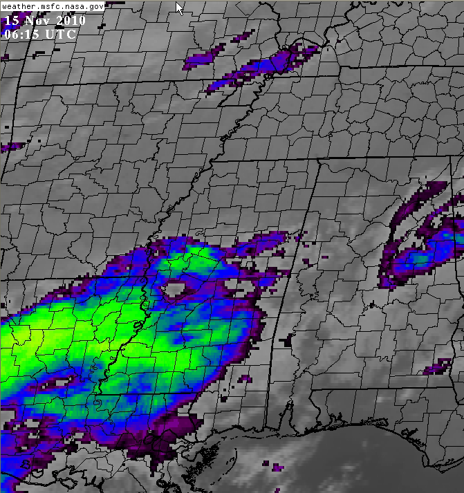
Rain Building to the West
As you can see on this IR GOES satellite image from shortly after midnight, cloud tops are cooling rapidly early this morning over Louisiana as rainfall increases. This activity is pushing northeast as we expected.
Given present motion, rain will reach Choctaw and Sumter Counties around 3 a.m. Heavier rain will reach western Alabama around 4 a.m., the Tuscaloosa area by 5:30 or so and Birmingham area after 5 a.m.
Of course, rain could break out earlier than this.
But, all in all, it looks like much of Central Alabama will get a good soaking on Monday into Tuesday. We’ll take it.
Category: Alabama's Weather


